2000s (21st Century) Maps of College Park, Georgia
Explore 15 historic maps of College Park from the 2000s (21st Century). These maps offer a rare glimpse into what life looked like during the 2000s — showing old roads, neighborhoods, homes, and landmarks that have changed or disappeared over time.
Whether you're researching your family's past, planning a metal detecting trip, or studying how College Park's landscape evolved across the 2000s, these high-resolution maps are a powerful tool for exploring the history of this region.
- Focus on a specific era: All maps on this page are from the 2000s, giving you a focused view of this time period.
- See what’s changed: Compare century-old streets, trails, and buildings to today's modern landscape using overlays and satellite layers.
- Research with precision: Use these maps for genealogy, historical research, land use analysis, or educational projects.
- View, download, or print: Maps are fully viewable online in high resolution, and can be downloaded or printed for your own records.
Start exploring College Park's history through authentic maps from the 2000s. This is your window into the past.
College Park, GA maps
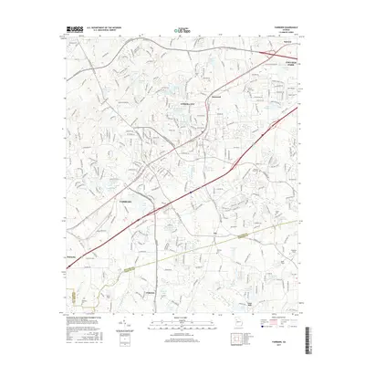
(15)- 2011 Map of Fairburn, 2011 Print
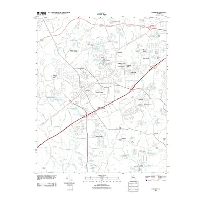 2011 Fairburn2011 Print · USGSCovers College Park, including Union City, Fairburn, and other nearby areas
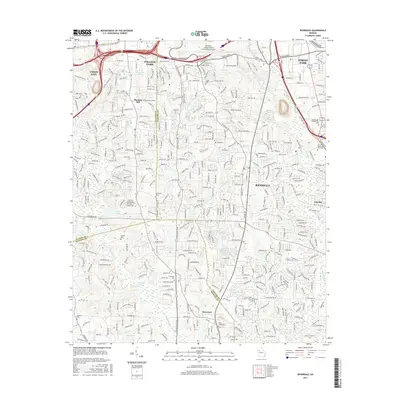
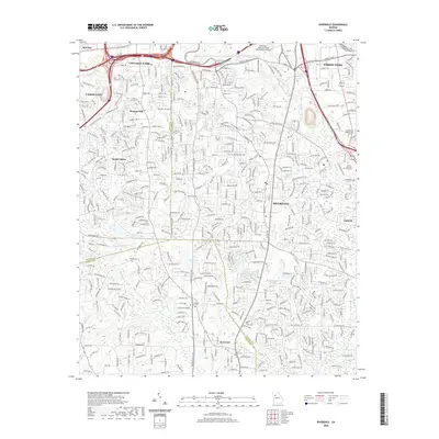
 - 2011 Map of Riverdale, 2011 Print
 2011 Riverdale2011 Print · USGSCovers College Park, including Union City, Forest Park, and other nearby areas
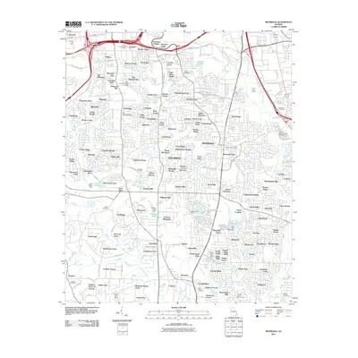
 - 2011 Map of Southwest Atlanta, 2011 Print
 2011 Southwest Atlanta2011 Print · USGSCovers College Park, including Atlanta, East Point, and other nearby areas
 - 2014 Map of Southwest Atlanta, 2014 Print
 2014 Southwest Atlanta2014 Print · USGSCovers College Park, including Atlanta, East Point, and other nearby areas
 - 2014 Map of Fairburn, 2014 Print
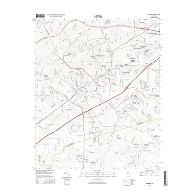 2014 Fairburn2014 Print · USGSCovers College Park, including Union City, Fairburn, and other nearby areas
 - 2014 Map of Riverdale, 2014 Print
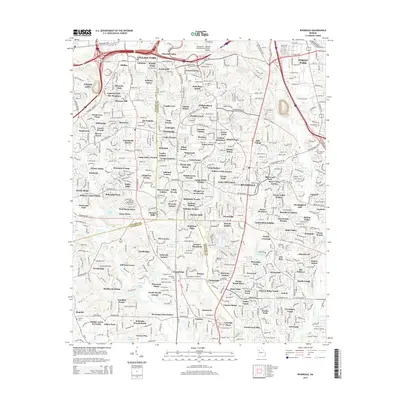 2014 Riverdale2014 Print · USGSCovers College Park, including Union City, Forest Park, and other nearby areas
 - 2017 Map of Fairburn, 2017 Print
 2017 Fairburn2017 Print · USGSCovers College Park, including Union City, Fairburn, and other nearby areas
 - 2017 Map of Southwest Atlanta, 2017 Print
 2017 Southwest Atlanta2017 Print · USGSCovers College Park, including Atlanta, East Point, and other nearby areas
 - 2017 Map of Riverdale, 2017 Print
 2017 Riverdale2017 Print · USGSCovers College Park, including Union City, Forest Park, and other nearby areas
 - 2020 Map of Southwest Atlanta, 2020 Print
 2020 Southwest Atlanta2020 Print · USGSCovers College Park, including Atlanta, East Point, and other nearby areas
 - 2020 Map of Riverdale, 2020 Print
 2020 Riverdale2020 Print · USGSCovers College Park, including Union City, Forest Park, and other nearby areas
 - 2020 Map of Fairburn, 2020 Print
 2020 Fairburn2020 Print · USGSCovers College Park, including Union City, Fairburn, and other nearby areas
 - 2024 Map of Riverdale, 2024 Print
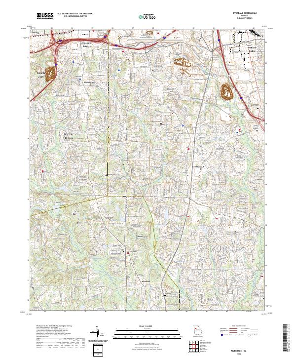 2024 Riverdale2024 Print · USGSModern Clayton and Fulton counties are documented here in the 2020s as suburban expansion surrounds historic hubs. Genealogists can trace family sites at Adams Cem, King Cem, and Philadelphia Presbyterian Cem near Riverdale.
 - 2024 Map of Southwest Atlanta, 2024 Print
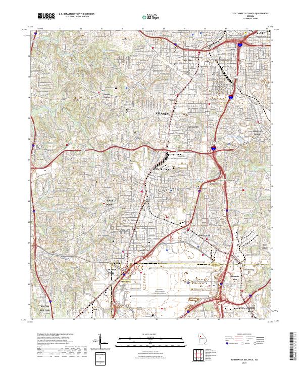 2024 Southwest Atlanta2024 Print · USGSSouthwest Atlanta and its neighboring suburbs are captured in this modern survey, highlighting the massive expansion of the city's southern transport and education hubs. Researchers can trace the layout of historic neighborhoods and landmarks like Westview Cem, Spelman College, and the sprawling Hartsfield - Jackson Airport.
 - 2024 Map of Fairburn, 2024 Print
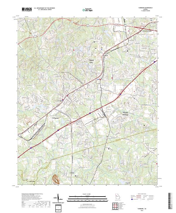 2024 Fairburn2024 Print · USGSFairburn and Union City are shown during their modern suburban development in this detailed regional survey. Genealogists can locate family landmarks like The Rock Baptist Church Cem, Red Oak Cem, and Stephens Cem near the Fayette County line.
End of results
Showing maps 1-15 of 15
Top cities near College Park
- Atlanta historical maps
- South Fulton historical maps
- Smyrna historical maps
- Brookhaven historical maps
- Newnan historical maps
- Mableton historical maps
See more
Top neighborhoods of College Park
- Cooks Crossing historical maps
- Elmwood historical maps
- Jamestown Court historical maps
- Limetree historical maps
- Brandy Chase historical maps
Frequently asked questions
- What are the different types of historical maps available for College Park?
- What is the oldest map of College Park?
- Where can I purchase historical maps of College Park for my home or office?
- Where can I download high-res historical maps of College Park?
- Are there historical topographic maps available for College Park?
- Is there historical aerial imagery available for College Park?
- Where are historical maps of College Park sourced from?