Old Maps of Adel, Georgia for Hiking & Exploration
Hike through history with 16 historic maps of Adel. Explore old trails, ghost towns, and forgotten backroads — perfect for outdoor adventurers and local explorers.
- Rediscover forgotten places: Map out old mining camps, roads, and footpaths that no longer exist on modern maps.
- Layer with modern tools: Combine with LiDAR or satellite views to plan hikes through historical terrain.
- Made for exploration: Popular among hikers, overlanders, and local history lovers.
Use these maps to find adventure and explore the hidden past of Adel.
Adel, GA maps
(16)- 1953 Map of Waycross, 1967 Print
 1953 Waycross1967 Print · USGSSouth Georgia's agricultural and rail heartland is captured here in the mid-1950s, showing a vast network of timber and farming towns. Researchers can trace the rail lines connecting Waycross and Tifton or locate landmarks like Jefferson Davis State Park and Lake Blackshear.2 unique versions available
 - 1958 Map of Waycross
 1958 Waycross1958 Print · USGSSoutheast Georgia in the late fifties remains a landscape of deep river basins and vital rail junctions. Genealogists and historians can trace family-named landmarks and rural hubs like Union Church, South Georgia College, and the sprawling Okefenokee Swamp.2 unique versions available
 - 1973 Map of Adel, 1975 Print
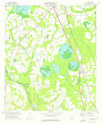
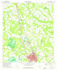 1973 Adel1975 Print · USGSCentral Cook County comes alive in the 1970s as the rail corridor shapes the growth of Adel and Sparks. Genealogists can locate family landmarks like Baker Cem or trace rural life through Wagon Wheel and Brushy Creek Ch.
 - 1973 Map of Cecil, 1975 Print
 1973 Cecil1975 Print · USGSThe rural landscape of Cook and Lowndes counties comes into focus in the early 1970s, dominated by the Georgia South and Florida rail line. Researchers can trace the history of local congregations at Jerusalem Missionary Ch and Salem Ch, or locate family sites near Cecil Bay.
 - 1979 Map of Moultrie, 1980 Print
 1979 Moultrie1980 Print · USGSSouth Georgia’s agricultural heartland is documented here in the late 1970s, showcasing the intricate rail and river networks of Colquitt and Tift Counties. Researchers can trace historic settlements along the Georgia Northern railroad or locate landmarks like Spence Air Force Auxiliary Field and Banks Lake.2 unique versions available
 - 1988 Map of Waycross
 1988 Waycross1988 Print · USGSSouth Georgia's wiregrass and timber country is documented here in the late eighties, centered on the vital rail junction of Waycross. Genealogists and historians can trace the rural landscape from Okefenokee up to the Ocmulgee, finding sites like Lumber City and Jefferson Davis Memorial State Park.
 - 2011 Map of Adel, 2011 Print
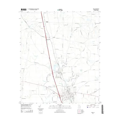
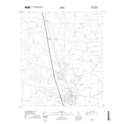
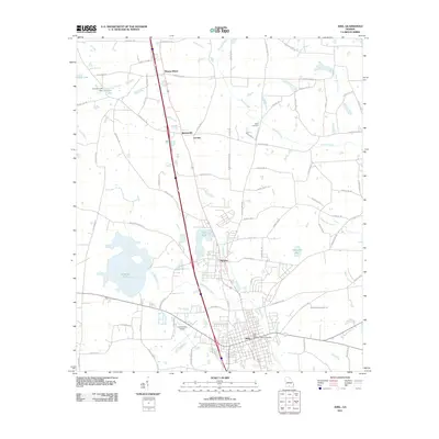 2011 Adel2011 Print · USGSCovers Adel, including Sparks, Lenox, and other nearby areas
 - 2011 Map of Cecil, 2011 Print
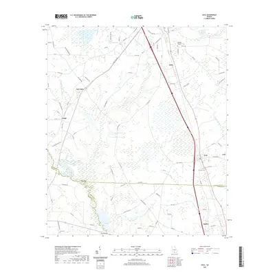
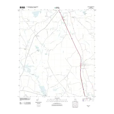 2011 Cecil2011 Print · USGSCovers Adel, including Hahira, Cecil, and other nearby areas
 - 2014 Map of Adel, 2014 Print
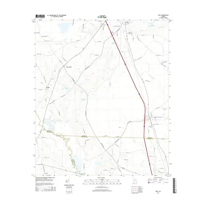
 2014 Adel2014 Print · USGSCovers Adel, including Sparks, Lenox, and other nearby areas
 - 2014 Map of Cecil, 2014 Print
 2014 Cecil2014 Print · USGSCovers Adel, including Hahira, Cecil, and other nearby areas
 - 2017 Map of Cecil, 2017 Print
 2017 Cecil2017 Print · USGSCovers Adel, including Hahira, Cecil, and other nearby areas
 - 2017 Map of Adel, 2017 Print
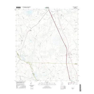
 2017 Adel2017 Print · USGSCovers Adel, including Sparks, Lenox, and other nearby areas
 - 2020 Map of Adel, 2020 Print
 2020 Adel2020 Print · USGSCovers Adel, including Sparks, Lenox, and other nearby areas
 - 2020 Map of Cecil, 2020 Print
 2020 Cecil2020 Print · USGSCovers Adel, including Hahira, Cecil, and other nearby areas
 - 2024 Map of Adel, 2024 Print
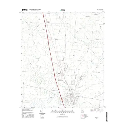
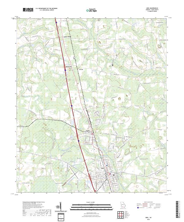 2024 Adel2024 Print · USGSCook County, Georgia, is documented here in the early twenty-first century, showing the established communities of Adel and Sparks. Researchers can trace local history through landmarks like the Cook County Courthouse, Woodlawn Cemetery, and Halls Pond.
 - 2024 Map of Cecil, 2024 Print
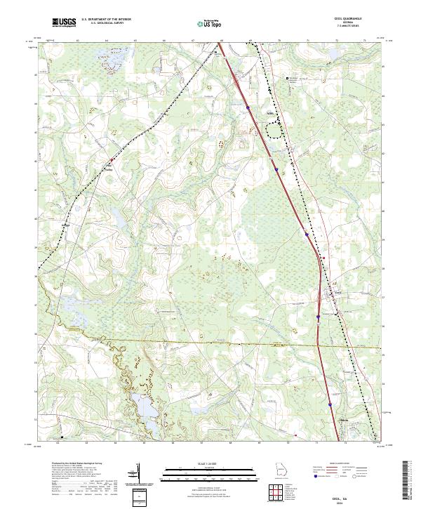 2024 Cecil2024 Print · USGSThe borderlands of Cook, Brooks, and Lowndes counties are captured in this recent survey of South Georgia. Researchers can trace rural lineages through sites like Gornto Cem, Jerusalem Cem, and the small settlements of Greggs and Pine Valley.
End of results
Showing maps 1-16 of 16
Top cities near Adel
- Valdosta historical maps
- Nashville historical maps
- Hahira historical maps
- Sparks historical maps
- Omega historical maps
- Lenox historical maps
See more
Frequently asked questions
- What are the different types of historical maps available for Adel?
- What is the oldest map of Adel?
- Where can I purchase historical maps of Adel for my home or office?
- Where can I download high-res historical maps of Adel?
- Are there historical topographic maps available for Adel?
- Is there historical aerial imagery available for Adel?
- Where are historical maps of Adel sourced from?