2000s (21st Century) Maps of Coweta County, Georgia
Explore 90 historic maps of Coweta County from the 2000s (21st Century). These maps offer a rare glimpse into what life looked like during the 2000s — showing old roads, neighborhoods, homes, and landmarks that have changed or disappeared over time.
Whether you're researching your family's past, planning a metal detecting trip, or studying how Coweta County's landscape evolved across the 2000s, these high-resolution maps are a powerful tool for exploring the history of this region.
- Focus on a specific era: All maps on this page are from the 2000s, giving you a focused view of this time period.
- See what’s changed: Compare century-old streets, trails, and buildings to today's modern landscape using overlays and satellite layers.
- Research with precision: Use these maps for genealogy, historical research, land use analysis, or educational projects.
- View, download, or print: Maps are fully viewable online in high resolution, and can be downloaded or printed for your own records.
Start exploring Coweta County's history through authentic maps from the 2000s. This is your window into the past.
Coweta County, GA maps
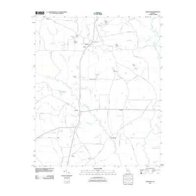
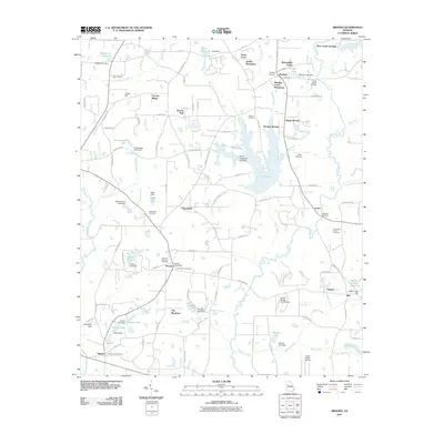
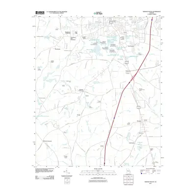
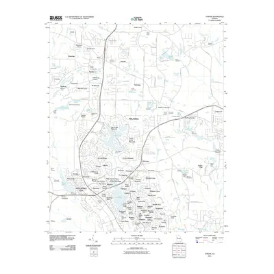
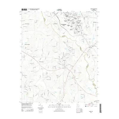
(90)- 2011 Map of Lowell, 2011 Print
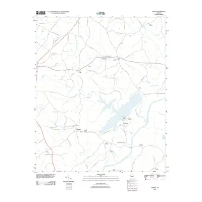 2011 Lowell2011 Print · USGSCovers Coweta County, including Centralhatchee, Roopville, and other nearby areas
 - 2011 Map of Fairburn, 2011 Print
 2011 Fairburn2011 Print · USGSCovers Coweta County, including Union City, Fairburn, and other nearby areas
 - 2011 Map of Newnan SW, 2011 Print
 2011 Newnan SW2011 Print · USGSCovers Coweta County, including Stallings Crossroad, Wilsons Store, and other nearby areas
 - 2011 Map of Senoia, 2011 Print
 2011 Senoia2011 Print · USGSCovers Coweta County, including Peachtree City, Senoia, and other nearby areas
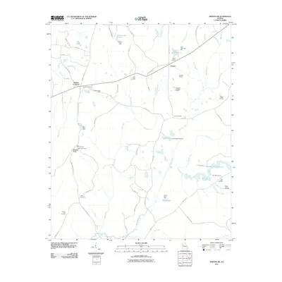
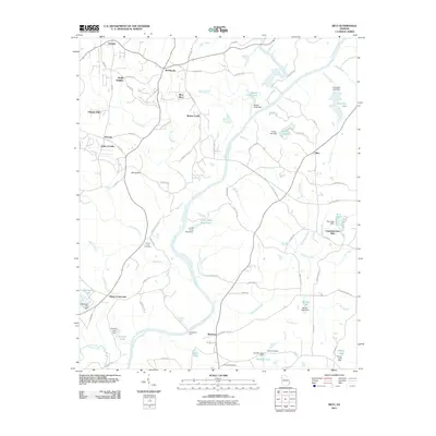
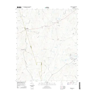
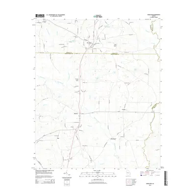
 - 2011 Map of Haralson, 2011 Print
 2011 Haralson2011 Print · USGSCovers Coweta County, including Haralson, Alps, and other nearby areas
 - 2011 Map of Sharpsburg, 2011 Print
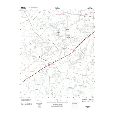
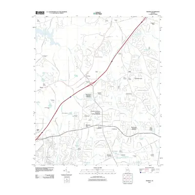
 2011 Sharpsburg2011 Print · USGSCovers Coweta County, including Newnan, Sharpsburg, and other nearby areas
 - 2011 Map of Newnan North, 2011 Print
 2011 Newnan North2011 Print · USGSCovers Coweta County, including Newnan, Sargent, and other nearby areas
 - 2011 Map of Madras, 2011 Print
 2011 Madras2011 Print · USGSCovers Coweta County, including Newnan, Peachtree City, and other nearby areas
 - 2011 Map of Brooks, 2011 Print
 2011 Brooks2011 Print · USGSCovers Coweta County, including Brooks, Woolsey, and other nearby areas
 - 2011 Map of Rico, 2011 Print
 2011 Rico2011 Print · USGSCovers Coweta County, including Chattahoochee Hills, Saint Andrews Country Club Estates, and other nearby areas
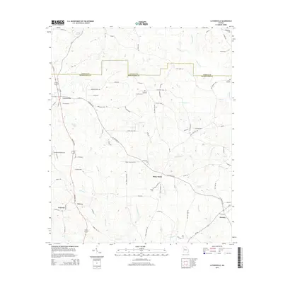
 - 2011 Map of Luthersville, 2011 Print
 2011 Luthersville2011 Print · USGSCovers Coweta County, including Luthersville, Rocky Mount, and other nearby areas
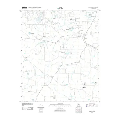
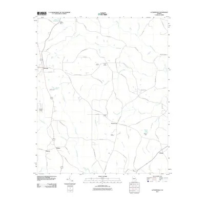
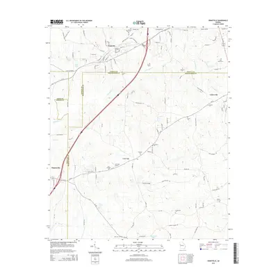
 - 2011 Map of Grantville, 2011 Print
 2011 Grantville2011 Print · USGSCovers Coweta County, including Grantville, Hogansville, and other nearby areas
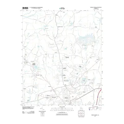
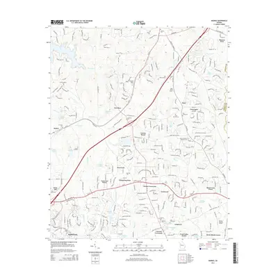
 - 2011 Map of Newnan South, 2011 Print
 2011 Newnan South2011 Print · USGSCovers Coweta County, including Newnan, East Newnan, and other nearby areas
 - 2011 Map of Palmetto, 2011 Print
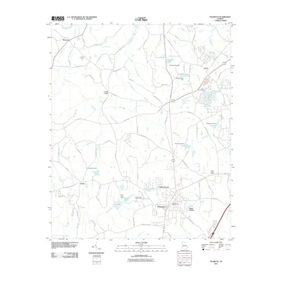 2011 Palmetto2011 Print · USGSCovers Coweta County, including South Fulton, Union City, and other nearby areas
 - 2011 Map of Hollonville, 2011 Print
 2011 Hollonville2011 Print · USGSCovers Coweta County, including Hollonville, Reidsboro, and other nearby areas
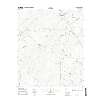
 - 2011 Map of Whitesburg, 2011 Print
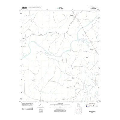 2011 Whitesburg2011 Print · USGSCovers Coweta County, including Whitesburg, Handy, and other nearby areas
 - 2011 Map of Tyrone, 2011 Print
 2011 Tyrone2011 Print · USGSCovers Coweta County, including Peachtree City, Fayetteville, and other nearby areas
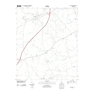
 - 2011 Map of Hogansville, 2011 Print
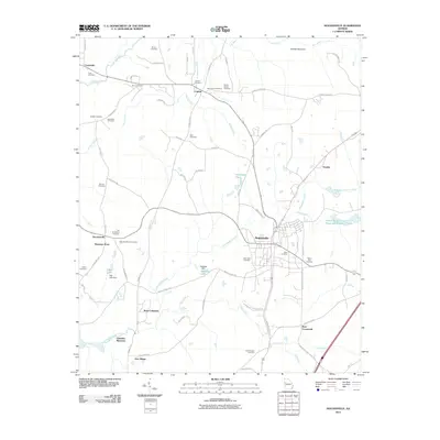 2011 Hogansville2011 Print · USGSCovers Coweta County, including Hogansville, Lakeview Meadows, and other nearby areas
 - 2014 Map of Whitesburg, 2014 Print
 2014 Whitesburg2014 Print · USGSCovers Coweta County, including Whitesburg, Handy, and other nearby areas
 - 2014 Map of Newnan SW, 2014 Print
 2014 Newnan SW2014 Print · USGSCovers Coweta County, including Stallings Crossroad, Wilsons Store, and other nearby areas
 - 2014 Map of Senoia, 2014 Print
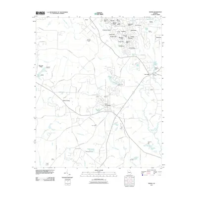
 2014 Senoia2014 Print · USGSCovers Coweta County, including Peachtree City, Senoia, and other nearby areas
 - 2014 Map of Haralson, 2014 Print
 2014 Haralson2014 Print · USGSCovers Coweta County, including Haralson, Alps, and other nearby areas
 - 2014 Map of Luthersville, 2014 Print
 2014 Luthersville2014 Print · USGSCovers Coweta County, including Luthersville, Rocky Mount, and other nearby areas
 - 2014 Map of Madras, 2014 Print
 2014 Madras2014 Print · USGSCovers Coweta County, including Newnan, Peachtree City, and other nearby areas
 - 2014 Map of Grantville, 2014 Print
 2014 Grantville2014 Print · USGSCovers Coweta County, including Grantville, Hogansville, and other nearby areas
Showing maps 1-25 of 90
Top cities of Coweta County
- Newnan historical maps
- Senoia historical maps
- Grantville historical maps
- East Newnan historical maps
- Moreland historical maps
- Sharpsburg historical maps
See more
Frequently asked questions
- What are the different types of historical maps available for Coweta County?
- What is the oldest map of Coweta County?
- Where can I purchase historical maps of Coweta County for my home or office?
- Where can I download high-res historical maps of Coweta County?
- Are there historical topographic maps available for Coweta County?
- Is there historical aerial imagery available for Coweta County?
- Where are historical maps of Coweta County sourced from?