Old Maps of Newnan, Georgia for Academic Research
Study the evolution of Newnan with 28 high-resolution historic maps. Whether you're teaching, researching, or modeling changes in land use, these maps provide essential visual documentation of urban, environmental, and geographic change.
- Analyze long-term change: Track patterns in development, transportation, and natural features.
- Ideal for environmental or urban studies: Support academic projects with primary historical map data.
- Use in the classroom or lab: Educators and researchers rely on these maps to bring historical context to life.
These maps are a powerful tool for teaching, research, and visualizing how Newnan has changed over the decades.
Newnan, GA maps
(28)- 1953 Map of Atlanta, 1965 Print
 1953 Atlanta1965 Print · USGSThe growing Atlanta metro and the industrial corridors of Eastern Alabama are captured here during the mid-century transition. Researchers can trace the rail-to-road shift through hubs like Anniston and La Grange or locate sites within Fort McClellan.2 unique versions available
 - 1957 Map of Atlanta
 1957 Atlanta1957 Print · USGSAtlanta and the Alabama borderlands appear here in the mid-fifties, capturing the region's post-war suburban and industrial transition. Trace the development of early transport hubs and military sites like Fort McPherson, Anniston, and the Kennesaw Mountain National Battlefield Park.
 - 1958 Map of Atlanta
 1958 Atlanta1958 Print · USGSMid-century Georgia and Alabama are shown in this regional study of the corridor between the Chattahoochee River and the Appalachian foothills. Local historians can trace the development of suburban Atlanta alongside vital landmarks like Stone Mountain, Dobbins AFB, and the Seaboard Air Line rail routes.
 - 1965 Map of Newnan South, 1966 Print
 1965 Newnan South1966 Print · USGSCoweta County comes into focus during the mid-sixties, capturing the growth of Newnan and its surrounding rail-side villages. Researchers can trace family history through numerous landmarks like Westview Cem, Bohanon Crossroad, and Old Bethlehem Ch.3 unique versions available
 - 1965 Map of Newnan North, 1966 Print
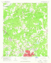 1965 Newnan North1966 Print · USGSIn the mid-sixties, the area north of Newnan was a mix of growing neighborhoods and long-standing rural outposts. Genealogists and historians can trace family roots through landmarks like Sewell Millpond, Jones Chapel Cem, and the industrial hamlet of Arneo Mills.3 unique versions available
 - 1965 Map of Madras, 1967 Print
 1965 Madras1967 Print · USGSCoweta County in the mid-sixties shows a landscape of growing infrastructure along the Atlanta and West Point railroad. Genealogists and local historians can trace family-named landmarks like Sullivan Lake, McCollum, and Cokes Chapel.4 unique versions available
 - 1965 Map of Sharpsburg, 1967 Print
 1965 Sharpsburg1967 Print · USGSSharpsburg and Turin are at the heart of this mid-century survey of Coweta County, where the rail lines and creek bottoms shaped local life. Genealogists and historians can trace family-named landmarks like Elders Mill, White Oak Grove Ch, and Bexton.2 unique versions available
 - 1979 Map of Griffin, 1980 Print
 1979 Griffin1980 Print · USGSWest-central Georgia at the close of the seventies reveals a landscape of historic rail towns and growing suburbs between the major river systems. Trace the rail lines and early road networks connecting Griffin, Peachtree City, and Newnan, or locate smaller settlements like Senoia and Experiment.3 unique versions available
 - 2011 Map of Sharpsburg, 2011 Print
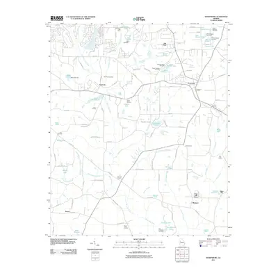 2011 Sharpsburg2011 Print · USGSCoweta County's landscape at the start of the 2010s reveals a blend of historic rail towns and modern residential lake developments. Researchers can trace family roots at the Sharpsburg Cemetery or locate the site of the historic Elders Mill near Blackjack.
 - 2011 Map of Newnan North, 2011 Print
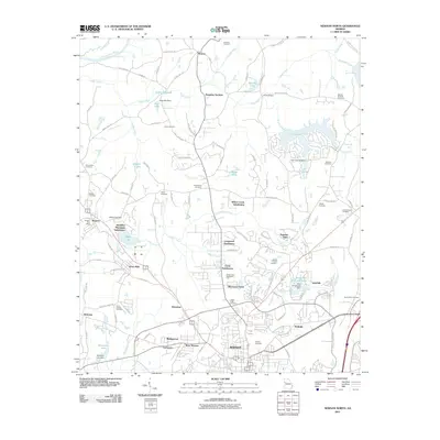 2011 Newnan North2011 Print · USGSThe northern reaches of Newnan and its surrounding mill communities are shown here in the early twenty-first century. Genealogists can locate numerous burial grounds including Oak Hill and Macedonia Cemetery, or trace roots in Sargent and Arnco Mills.
 - 2011 Map of Madras, 2011 Print
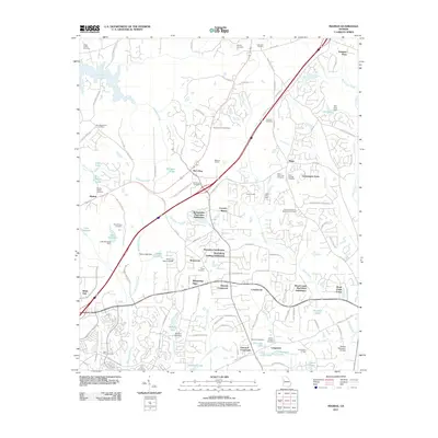 2011 Madras2011 Print · USGSCoweta County in the early twenty-first century reveals a landscape where modern subdivisions meet deep-rooted local history. Researchers can locate numerous legacy burial sites like Mount Gilead Cemetery and Cokes Chapel Cemetery, or trace industrial landmarks such as the Madras Quarry.
 - 2011 Map of Newnan South, 2011 Print
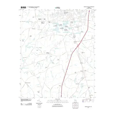 2011 Newnan South2011 Print · USGSCoweta County south of Newnan shows a mix of suburban growth and traditional crossroads in the years after the millennium. Genealogists and local historians can locate many small burial grounds such as Old Bethlehem Cemetery, Emmaus Cemetery, and the community of Moreland.
 - 2014 Map of Madras, 2014 Print
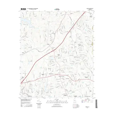 2014 Madras2014 Print · USGSCoweta County's suburban and industrial growth is captured here as the landscape between Palmetto and Newnan continues to evolve. Researchers can locate numerous historic burial sites and landmarks like McCollum Cem, Cokes Chapel Cem, and the McCollum Lookout Tower.
 - 2014 Map of Sharpsburg, 2014 Print
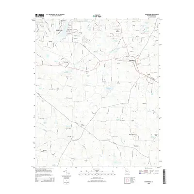 2014 Sharpsburg2014 Print · USGSCoweta County’s rural character and evolving residential hubs are detailed here just after the millennium. Researchers can trace family history through several burial sites like Elder Linch Cemetery or locate landmarks such as Elders Mill and Lake Raymond.
 - 2014 Map of Newnan South, 2014 Print
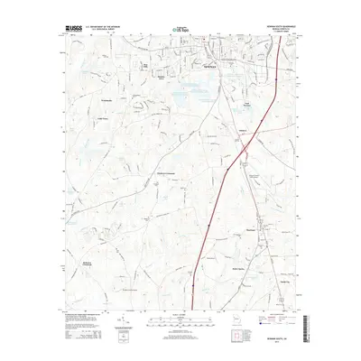 2014 Newnan South2014 Print · USGSThe southern outskirts of Newnan in the early 2010s reveal a mix of municipal utility expansion and established rural communities. Researchers can trace family history through numerous landmarks like Evergreen Cem and Stephens Crossroad.
 - 2014 Map of Newnan North, 2014 Print
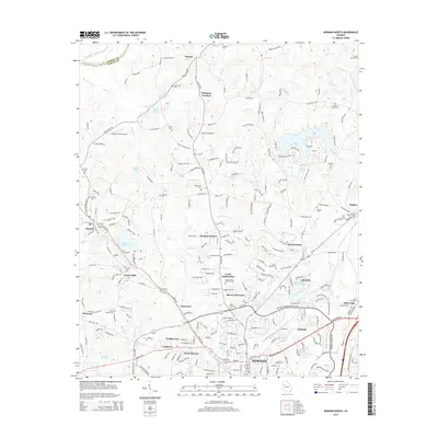 2014 Newnan North2014 Print · USGSNorthern Coweta County at the peak of suburban expansion reveals the evolving landscape between NEWNAN and the Chattahoochee River. Researchers can trace the heritage of Arnco Mills or locate family history at Oak Grove Cem and Dunaway Gardens.
 - 2017 Map of Newnan North, 2017 Print
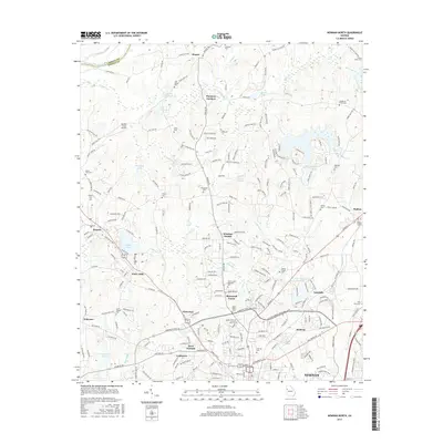 2017 Newnan North2017 Print · USGSCoweta County is shown in this recent survey as the northern suburbs of Newnan expand into the Piedmont countryside. Genealogists can trace family heritage at Andrews Cem and Jones Chapel Cem, or explore the grounds of the historic Dunaway Gardens.
 - 2017 Map of Newnan South, 2017 Print
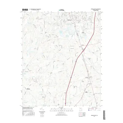 2017 Newnan South2017 Print · USGSSouthern Coweta County at the turn of the twenty-first century reveals a landscape of municipal reservoirs and small rural communities. Researchers can trace family history through several burial sites like Old Bethlehem Cem and Emmaus Cem or explore the settlements of Moreland and Saint Charles.
 - 2017 Map of Sharpsburg, 2017 Print
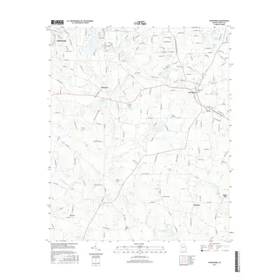 2017 Sharpsburg2017 Print · USGSCoweta County in the early twenty-first century reveals a landscape of enduring rural settlements and historic mill sites. Genealogists can trace family roots through White Oak Cem and Sharpsburg Cem or explore the milling heritage at Elders Mill and Sibley Millpond.
 - 2017 Map of Madras, 2017 Print
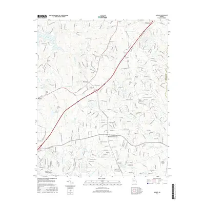 2017 Madras2017 Print · USGSCoweta County in the late 2010s shows a landscape of growing crossroads settlements and historical family landholdings north of Newnan. Researchers can trace local heritage through numerous burial sites like Saint Peters Cem and landmarks such as Two Rocks Airport or McCollum.
 - 2020 Map of Newnan North, 2020 Print
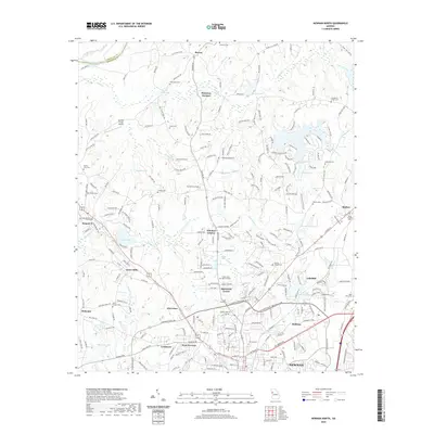 2020 Newnan North2020 Print · USGSCoweta County’s northern corridor is shown here as suburban growth meets established rural communities in the early twenty-first century. Researchers can trace family history through local landmarks like Arneo Mills, Dunaway Gardens, and the Jones Chapel Cem.
 - 2020 Map of Newnan South, 2020 Print
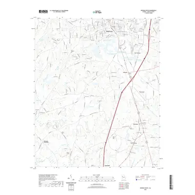 2020 Newnan South2020 Print · USGSSouthern Coweta County at the start of the 2020s shows a landscape of modern industry and aviation nestled among numerous ancestral burial grounds. Genealogists and historians can trace family plots at Ballard Cem and Mount Prospect Cem or locate community hubs like Bohanon Crossroad.
 - 2020 Map of Madras, 2020 Print
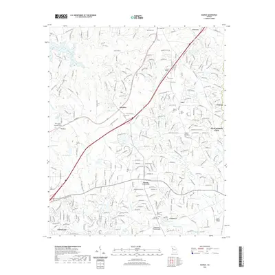 2020 Madras2020 Print · USGSCoweta County in the late twenty-tens reveals a landscape where historic rural settlements meet modern growth. Genealogists can trace family heritage through numerous burial sites like Mount Gilead United Methodist Cem and Jane Posey Cem near Thomas Crossroads.
 - 2020 Map of Sharpsburg, 2020 Print
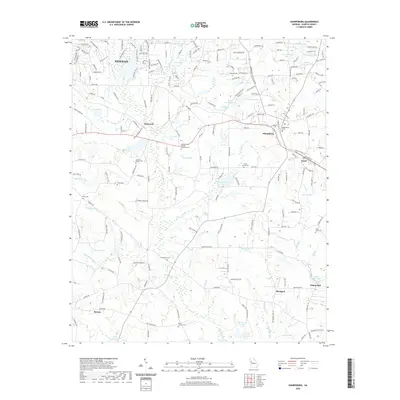 2020 Sharpsburg2020 Print · USGSCoweta County’s rural character is on full display in this early 21st-century survey of the communities south of Newnan. Researchers can trace local lineage through several churchyards and burial sites like Sharpsburg Cem, Elder Linch Cem, and Pitts Cem.
 - 2024 Map of Madras, 2024 Print
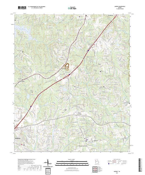 2024 Madras2024 Print · USGSNortheast of Newnan in the early 2020s, this area reveals a landscape of growing crossroads and deep-seated family history. Genealogists can trace local heritage through numerous sites like Mount Gilead Baptist Cem, McCollum Cem, and Jane Posey Cem.
Showing maps 1-25 of 28
Top cities near Newnan
- South Fulton historical maps
- Peachtree City historical maps
- Union City historical maps
- Fairburn historical maps
- Tyrone historical maps
- Palmetto historical maps
See more
Top neighborhoods of Newnan
Frequently asked questions
- What are the different types of historical maps available for Newnan?
- What is the oldest map of Newnan?
- Where can I purchase historical maps of Newnan for my home or office?
- Where can I download high-res historical maps of Newnan?
- Are there historical topographic maps available for Newnan?
- Is there historical aerial imagery available for Newnan?
- Where are historical maps of Newnan sourced from?