Old Maps of Crawford County, Georgia for Academic Research
Study the evolution of Crawford County with 85 high-resolution historic maps. Whether you're teaching, researching, or modeling changes in land use, these maps provide essential visual documentation of urban, environmental, and geographic change.
- Analyze long-term change: Track patterns in development, transportation, and natural features.
- Ideal for environmental or urban studies: Support academic projects with primary historical map data.
- Use in the classroom or lab: Educators and researchers rely on these maps to bring historical context to life.
These maps are a powerful tool for teaching, research, and visualizing how Crawford County has changed over the decades.
Crawford County, GA maps
(85)- 1951 Map of Yatesville, 1952 Print
 1951 Yatesville1952 Print · USGSIn the early 1950s, this Georgia landscape was defined by the crossing of the Central of Georgia and Southern railroads. Local researchers can trace family names and small-town life through landmarks like Topeka Junction, Anniebel Sch, and Andrews Chapel.3 unique versions available
 - 1955 Map of Phenix City, 1964 Print
 1955 Phenix City1964 Print · USGSPost-war Alabama and Georgia meet along the Chattahoochee River as industry and military installations expand. Trace the rail lines of the Central of Georgia through towns like Opelika, Tuskegee, and Alexander City.3 unique versions available
 - 1956 Map of Fort Valley, 1957 Print
 1956 Fort Valley1957 Print · USGSGeorgia's fruit-growing heartland comes alive in the mid-1950s as a major rail crossroads. Genealogists can trace family landmarks like Taylors Mill, Old Bethel Cem, and numerous country churches from Lizzie Chapel to Macedonia Ch.2 unique versions available
 - 1956 Map of Bolingbroke, 1957 Print
 1956 Bolingbroke1957 Print · USGSMid-century Monroe and Bibb counties were defined by rural rail stops and deep-seated community institutions. Genealogists can trace family connections through numerous landmarks like Montpelier Institute, the Rosenwald Sch, and Fambro Chapel.2 unique versions available
 - 1956 Map of Warner Robins, 1957 Print
 1956 Warner Robins1957 Print · USGSWarner Robins and the Ocmulgee River valley are captured in the mid-fifties during a period of significant military and urban expansion. Researchers can trace the development of Robins Air Force Base and find local landmarks like Feagin Mill or Tharpe Memorial Ch.2 unique versions available
 - 1957 Map of Phenix City
 1957 Phenix City1957 Print · USGSThe Alabama-Georgia borderlands are captured here in the mid-fifties, centered on the bustling river crossing at Phenix City and Columbus. Researchers can trace the mid-century footprint of the Fort Benning Military Reservation or locate smaller textile and railroad towns like Langdale and Camp Hill.
 - 1957 Map of Macon
 1957 Macon1957 Print · USGSMid-century Georgia comes into focus as the river-and-rail economy shifts toward a new era of aviation and highway travel. Trace family roots and vanished landmarks across the Ocmulgee River valley from Macon to the onion fields of Vidalia.
 - 1958 Map of Macon
 1958 Macon1958 Print · USGSMiddle Georgia during the late fifties shows the post-war expansion of Warner Robins alongside the deep-rooted rail hubs of the Central of Georgia line. Researchers can trace the river-bound boundaries of numerous counties and find local landmarks like Veterans Memorial Hospital and Robins AFB.
 - 1958 Map of Phenix City
 1958 Phenix City1958 Print · USGSThe Alabama-Georgia borderlands thrive during the late fifties, anchored by the river-driven industry of Columbus and Phenix City. Researchers can trace the mid-century footprints of Fort Benning, Auburn, and the textile towns of Fairfax and Lanett.
 - 1964 Map of Macon
 1964 Macon1964 Print · USGSCentral Georgia in the mid-sixties is defined by its major river valleys and a booming military presence. Genealogists and historians can trace the growth of Warner Robins near Robins AFB or locate smaller rural junctions like Allentown and Jeffersonville along the historic Southern railroad lines.2 unique versions available
 - 1971 Map of Fickling Mill, 1973 Print
 1971 Fickling Mill1973 Print · USGSTaylor and Crawford Counties are captured in the early 1970s at the meeting of the Flint River and Patsiliga Creek. Local historians can trace the foundations of rural life through numerous country churches like Elam Ch and the historic site of Fickling Mill.2 unique versions available
 - 1971 Map of Reynolds, 1973 Print
 1971 Reynolds1973 Print · USGSTaylor County settlement centers on the railroad crossroads of the early seventies, where the river lowlands meet upland farms. Researchers can trace family history at Potterville, locate the White Hill Cem, or explore the reaches of Magnolia Swamp.2 unique versions available
 - 1971 Map of Roberta, 1974 Print
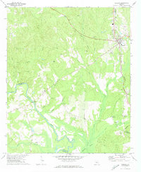 1971 Roberta1974 Print · USGSRoberta and its surrounding Crawford County hinterlands are shown here in the early seventies as the rail-and-river economy persisted. Researchers can locate rural landmarks like Walker Chapel, Lowe Cem, and the old crossing at Hawkins Bridge over the Flint River.2 unique versions available
 - 1973 Map of Fort Valley West, 1976 Print
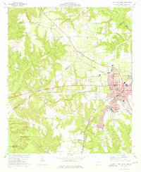 1973 Fort Valley West1976 Print · USGSFort Valley and its surrounding rural communities are captured here in the early seventies during a period of steady regional development. Genealogists and historians can trace numerous local landmarks including Ross Chapel Cem, Lee Pope, and the campus of Fort Valley State College.2 unique versions available
 - 1973 Map of Warner Robins NW, 1977 Print
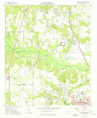 1973 Warner Robins NW1977 Print · USGSMid-century central Georgia comes alive in this survey of the railroad and racing corridor between Macon and Warner Robins. Genealogists and local historians can trace family-named sites like Skipperton and Walden or locate historic congregations such as New Elim Ch and Oak Grove Ch.3 unique versions available
 - 1974 Map of Knoxville, 1976 Print
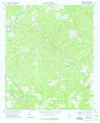 1974 Knoxville1976 Print · USGSCrawford County settlements and rural industry are captured here in the mid-seventies as the rail-and-creek network defined local life. Trace family history at Old Bethel Cem, locate the old Sandpits in Gaillard, or find the SOUTHERN rail line.2 unique versions available
 - 1974 Map of Lizella, 1976 Print
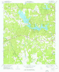 1974 Lizella1976 Print · USGSBibb County west of Macon is captured here in the mid-1970s, as lakeside recreation and rural life intersected along the railroad. Researchers can trace family history at sites like Lizella, Fambro Chapel, and Parker Cem.2 unique versions available
 - 1974 Map of Fort Valley East, 1976 Print
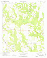 1974 Fort Valley East1976 Print · USGSCentral Georgia's peach-growing country is captured here in the mid-seventies, showing the rural landscapes between Fort Valley and Powersville. Genealogists can trace family landmarks and rural life through Lisenby Cemetery, Wesley Chapel, and Housers Millpond.
 - 1974 Map of Culloden, 1976 Print
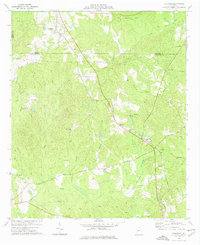 1974 Culloden1976 Print · USGSMid-Georgia rural life is captured here in the mid-seventies as the Southern rail line and various pipelines cross the countryside. Genealogists can locate family landmarks like Taylor Cem, Johnson Cem, and the City of Refuge (Sanatorium).
 - 1974 Map of Moran, 1976 Print
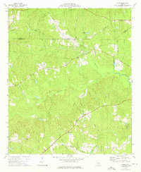 1974 Moran1976 Print · USGSCrawford County and the surrounding tri-county area are shown in the mid-1970s as a landscape of rural crossroads and wooded creek bottoms. Genealogists and historians can trace the foundations of local communities through landmarks like Tabernacle Campground, Sandy Point, and Little Rogers Ch.
 - 1974 Map of Byron, 1976 Print
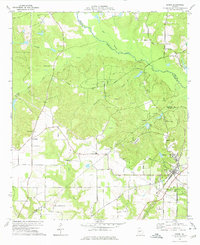 1974 Byron1976 Print · USGSThe town of Byron in the mid-1970s is shown as a rural hub at the intersection of the Central of Georgia railroad and the regional creek system. Researchers can trace family sites at Hardison Ch, Society Hill Cem, and the youth camp at Camp Benjamin Hawkins.2 unique versions available
 - 1974 Map of Logtown, 1976 Print
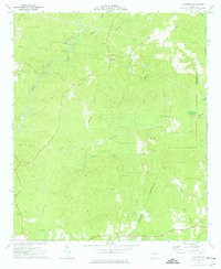 1974 Logtown1976 Print · USGSUpson and Crawford County rural life in the mid-seventies is captured here through its network of creek-side settlements and country churches. Researchers can trace family history through over a dozen named burial sites like Rocky Mt Cem and find landmarks like the Covered Bridge on Auchumpkee Creek.
 - 1978 Map of Macon, 1980 Print
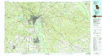 1978 Macon1980 Print · USGSCentral Georgia during the late seventies reveals a landscape shaped by military expansion and clay mining. Genealogists and local historians can trace the development of Warner Robins, the grounds of Wesleyan College, and the rural surroundings of Griswoldville.2 unique versions available
 - 1981 Map of Thomaston, 1982 Print
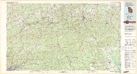 1981 Thomaston1982 Print · USGSCentral Georgia’s ridgeline and river country comes into focus in this early 1980s survey of the Pine Mountain corridor. Researchers can trace historic church sites like Oak Grove Ch, the rail junctions at Manchester, and the expansive Franklin D Roosevelt State Park.
 - 1988 Map of Macon, 1989 Print
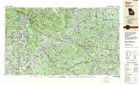 1988 Macon1989 Print · USGSCentral Georgia is captured during the late eighties, showing the expansive river systems and growing urban hubs of the regional interior. Genealogists and historians can trace the paths of the Central of Georgia Railroad and locate communities like Warner Robbins, Dublin, and Sandersville.
Showing maps 1-25 of 85
Top cities of Crawford County
Frequently asked questions
- What are the different types of historical maps available for Crawford County?
- What is the oldest map of Crawford County?
- Where can I purchase historical maps of Crawford County for my home or office?
- Where can I download high-res historical maps of Crawford County?
- Are there historical topographic maps available for Crawford County?
- Is there historical aerial imagery available for Crawford County?
- Where are historical maps of Crawford County sourced from?