Old Maps of Roberta, Georgia for Metal Detecting
Plan your next treasure hunt with 22 historic maps of Roberta. Find old homesites, ghost towns, trails, and gathering spots that may be lost to time — perfect for identifying promising metal detecting locations.
- Locate forgotten sites: Uncover places like long-lost settlements, abandoned rail lines, or gathering spots.
- Plan better hunts: Use map overlays combined with LiDAR or satellite views to narrow in on historically rich areas.
- Made for detectorists: Thousands of hobbyists use these maps to discover relics, coins, and hidden history.
Use these historic maps to boost your research and find new opportunities beneath the surface of Roberta.
Roberta, GA maps
(22)- 1955 Map of Phenix City, 1964 Print
 1955 Phenix City1964 Print · USGSPost-war Alabama and Georgia meet along the Chattahoochee River as industry and military installations expand. Trace the rail lines of the Central of Georgia through towns like Opelika, Tuskegee, and Alexander City.3 unique versions available
 - 1956 Map of Fort Valley, 1957 Print
 1956 Fort Valley1957 Print · USGSGeorgia's fruit-growing heartland comes alive in the mid-1950s as a major rail crossroads. Genealogists can trace family landmarks like Taylors Mill, Old Bethel Cem, and numerous country churches from Lizzie Chapel to Macedonia Ch.2 unique versions available
 - 1957 Map of Phenix City
 1957 Phenix City1957 Print · USGSThe Alabama-Georgia borderlands are captured here in the mid-fifties, centered on the bustling river crossing at Phenix City and Columbus. Researchers can trace the mid-century footprint of the Fort Benning Military Reservation or locate smaller textile and railroad towns like Langdale and Camp Hill.
 - 1957 Map of Macon
 1957 Macon1957 Print · USGSMid-century Georgia comes into focus as the river-and-rail economy shifts toward a new era of aviation and highway travel. Trace family roots and vanished landmarks across the Ocmulgee River valley from Macon to the onion fields of Vidalia.
 - 1958 Map of Macon
 1958 Macon1958 Print · USGSMiddle Georgia during the late fifties shows the post-war expansion of Warner Robins alongside the deep-rooted rail hubs of the Central of Georgia line. Researchers can trace the river-bound boundaries of numerous counties and find local landmarks like Veterans Memorial Hospital and Robins AFB.
 - 1958 Map of Phenix City
 1958 Phenix City1958 Print · USGSThe Alabama-Georgia borderlands thrive during the late fifties, anchored by the river-driven industry of Columbus and Phenix City. Researchers can trace the mid-century footprints of Fort Benning, Auburn, and the textile towns of Fairfax and Lanett.
 - 1964 Map of Macon
 1964 Macon1964 Print · USGSCentral Georgia in the mid-sixties is defined by its major river valleys and a booming military presence. Genealogists and historians can trace the growth of Warner Robins near Robins AFB or locate smaller rural junctions like Allentown and Jeffersonville along the historic Southern railroad lines.2 unique versions available
 - 1971 Map of Roberta, 1974 Print
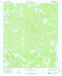
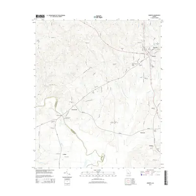
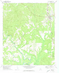 1971 Roberta1974 Print · USGSRoberta and its surrounding Crawford County hinterlands are shown here in the early seventies as the rail-and-river economy persisted. Researchers can locate rural landmarks like Walker Chapel, Lowe Cem, and the old crossing at Hawkins Bridge over the Flint River.2 unique versions available
 - 1974 Map of Knoxville, 1976 Print
 1974 Knoxville1976 Print · USGSCrawford County settlements and rural industry are captured here in the mid-seventies as the rail-and-creek network defined local life. Trace family history at Old Bethel Cem, locate the old Sandpits in Gaillard, or find the SOUTHERN rail line.2 unique versions available
 - 1978 Map of Macon, 1980 Print
 1978 Macon1980 Print · USGSCentral Georgia during the late seventies reveals a landscape shaped by military expansion and clay mining. Genealogists and local historians can trace the development of Warner Robins, the grounds of Wesleyan College, and the rural surroundings of Griswoldville.2 unique versions available
 - 1981 Map of Thomaston, 1982 Print
 1981 Thomaston1982 Print · USGSCentral Georgia’s ridgeline and river country comes into focus in this early 1980s survey of the Pine Mountain corridor. Researchers can trace historic church sites like Oak Grove Ch, the rail junctions at Manchester, and the expansive Franklin D Roosevelt State Park.
 - 1988 Map of Macon, 1989 Print
 1988 Macon1989 Print · USGSCentral Georgia is captured during the late eighties, showing the expansive river systems and growing urban hubs of the regional interior. Genealogists and historians can trace the paths of the Central of Georgia Railroad and locate communities like Warner Robbins, Dublin, and Sandersville.
 - 2011 Map of Roberta, 2011 Print
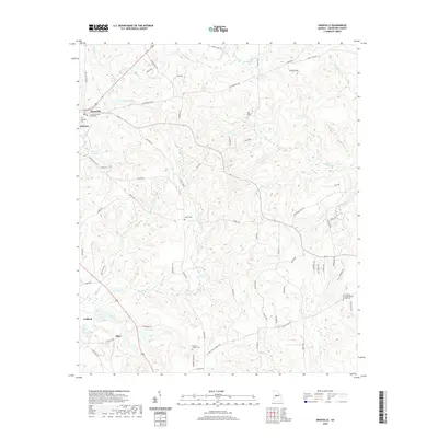
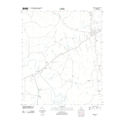 2011 Roberta2011 Print · USGSCovers Roberta, including Griffith, Francisville, and other nearby areas
 - 2011 Map of Knoxville, 2011 Print
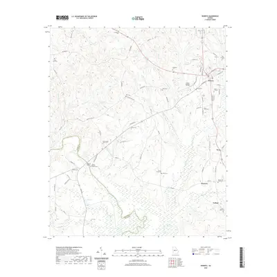
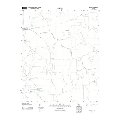 2011 Knoxville2011 Print · USGSCovers Roberta, including Knoxville, Allon, and other nearby areas
 - 2014 Map of Roberta, 2014 Print
 2014 Roberta2014 Print · USGSCovers Roberta, including Griffith, Francisville, and other nearby areas
 - 2014 Map of Knoxville, 2014 Print
 2014 Knoxville2014 Print · USGSCovers Roberta, including Knoxville, Allon, and other nearby areas
 - 2017 Map of Roberta, 2017 Print
 2017 Roberta2017 Print · USGSCovers Roberta, including Griffith, Francisville, and other nearby areas
 - 2017 Map of Knoxville, 2017 Print
 2017 Knoxville2017 Print · USGSCovers Roberta, including Knoxville, Allon, and other nearby areas
 - 2020 Map of Knoxville, 2020 Print
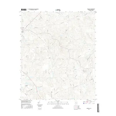
 2020 Knoxville2020 Print · USGSCovers Roberta, including Knoxville, Allon, and other nearby areas
 - 2020 Map of Roberta, 2020 Print
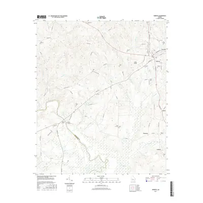
 2020 Roberta2020 Print · USGSCovers Roberta, including Griffith, Francisville, and other nearby areas
 - 2024 Map of Knoxville, 2024 Print
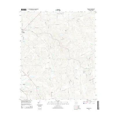
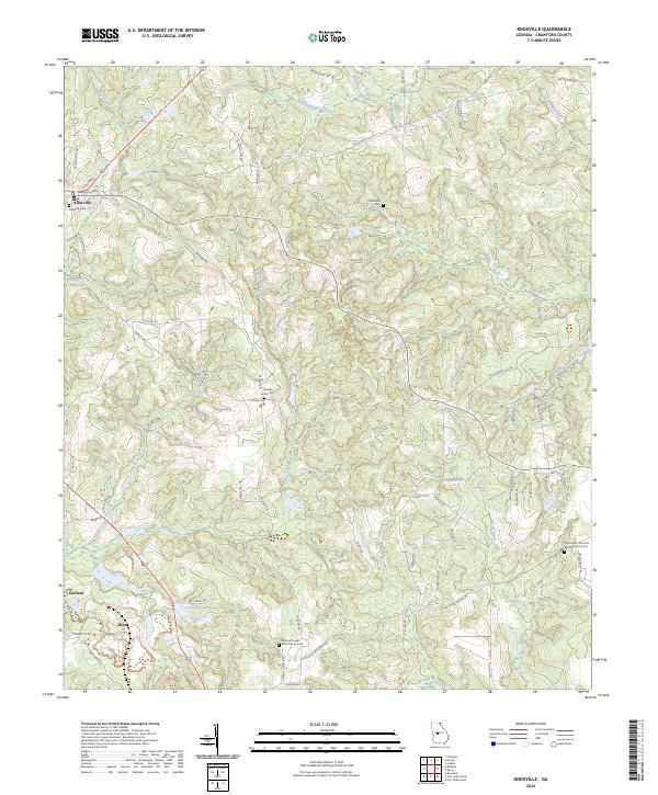 2024 Knoxville2024 Print · USGSTracing the heart of Crawford County in recent years, this map highlights the intersection of local government and rural life. Genealogists can locate family landmarks like the Rowell Family Cem and the Gordon Chapel AME Church Cem near Knoxville.
 - 2024 Map of Roberta, 2024 Print
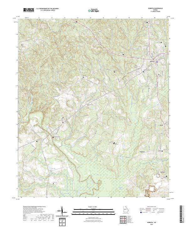 2024 Roberta2024 Print · USGSCentral Georgia’s river-carved landscape comes into focus here as it appeared in recent years, centered on the intersection of rural life and state history. Researchers can trace ancestral sites from the Colonel Benjamin Hawkins Gravesite to local burial grounds like Old Knoxville Cem and Jordan Grove Cem.
End of results
Showing maps 1-22 of 22
Top cities near Roberta
- Macon historical maps
- Perry historical maps
- Fort Valley historical maps
- Byron historical maps
- Butler historical maps
- Reynolds historical maps
See more
Frequently asked questions
- What are the different types of historical maps available for Roberta?
- What is the oldest map of Roberta?
- Where can I purchase historical maps of Roberta for my home or office?
- Where can I download high-res historical maps of Roberta?
- Are there historical topographic maps available for Roberta?
- Is there historical aerial imagery available for Roberta?
- Where are historical maps of Roberta sourced from?