1900s (20th Century) Maps of Crisp County, Georgia
Explore 23 historic maps of Crisp County from the 1900s (20th Century). These maps offer a rare glimpse into what life looked like during the 1900s — showing old roads, neighborhoods, homes, and landmarks that have changed or disappeared over time.
Whether you're researching your family's past, planning a metal detecting trip, or studying how Crisp County's landscape evolved across the 1900s, these high-resolution maps are a powerful tool for exploring the history of this region.
- Focus on a specific era: All maps on this page are from the 1900s, giving you a focused view of this time period.
- See what’s changed: Compare century-old streets, trails, and buildings to today's modern landscape using overlays and satellite layers.
- Research with precision: Use these maps for genealogy, historical research, land use analysis, or educational projects.
- View, download, or print: Maps are fully viewable online in high resolution, and can be downloaded or printed for your own records.
Start exploring Crisp County's history through authentic maps from the 1900s. This is your window into the past.
Crisp County, GA maps
(23)- 1953 Map of Waycross, 1967 Print
 1953 Waycross1967 Print · USGSSouth Georgia's agricultural and rail heartland is captured here in the mid-1950s, showing a vast network of timber and farming towns. Researchers can trace the rail lines connecting Waycross and Tifton or locate landmarks like Jefferson Davis State Park and Lake Blackshear.2 unique versions available
 - 1957 Map of Macon
 1957 Macon1957 Print · USGSMid-century Georgia comes into focus as the river-and-rail economy shifts toward a new era of aviation and highway travel. Trace family roots and vanished landmarks across the Ocmulgee River valley from Macon to the onion fields of Vidalia.
 - 1958 Map of Macon
 1958 Macon1958 Print · USGSMiddle Georgia during the late fifties shows the post-war expansion of Warner Robins alongside the deep-rooted rail hubs of the Central of Georgia line. Researchers can trace the river-bound boundaries of numerous counties and find local landmarks like Veterans Memorial Hospital and Robins AFB.
 - 1958 Map of Waycross
 1958 Waycross1958 Print · USGSSoutheast Georgia in the late fifties remains a landscape of deep river basins and vital rail junctions. Genealogists and historians can trace family-named landmarks and rural hubs like Union Church, South Georgia College, and the sprawling Okefenokee Swamp.2 unique versions available
 - 1964 Map of Macon
 1964 Macon1964 Print · USGSCentral Georgia in the mid-sixties is defined by its major river valleys and a booming military presence. Genealogists and historians can trace the growth of Warner Robins near Robins AFB or locate smaller rural junctions like Allentown and Jeffersonville along the historic Southern railroad lines.2 unique versions available
 - 1971 Map of Pineview West, 1974 Print
 1971 Pineview West1974 Print · USGSWilcox County and the surrounding Georgia countryside are captured here in the early 1970s, showcasing a landscape of small crossroads and creek-side farms. Researchers can trace the Old Railroad Grade and locate numerous rural landmarks like Antioch Ch, Tippettville, and Pope City.
 - 1971 Map of Pineview SW, 1974 Print
 1971 Pineview SW1974 Print · USGSCentral Georgia's agricultural landscape at the start of the seventies reveals a tight-knit network of rural congregations and family cemeteries. Genealogists can trace roots at Smyrna Ch and Sharon Ch or locate the old community of Tremont.
 - 1972 Map of Drayton, 1974 Print
 1972 Drayton1974 Print · USGSDooly County during the early seventies is mapped here as the Flint River expands into the backwaters of northern Lake Blackshear. Genealogists and local historians can locate rural landmarks like Macedonia Ch, Collier Cem, and the river crossing at Luther Storey Bridge.2 unique versions available
 - 1972 Map of Vienna, 1975 Print
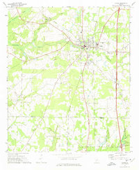 1972 Vienna1975 Print · USGSDooly County at the start of the 1970s shows a landscape of growing highway transit and deep-rooted rural communities. Trace the intersection of the Southern railroad and Interstate 75 near Vienna, or locate local landmarks like Mt Pleasant Ch and the Drive-in Theater.
 - 1974 Map of Pitts, 1977 Print
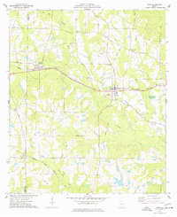 1974 Pitts1977 Print · USGSWilcox and Crisp counties in the mid-seventies were defined by a network of rail-side towns and small rural congregations. Genealogists can trace family footprints across numerous sites including Snow Hill Ch, Fitzgerald Cem, and the village of Seville.
 - 1974 Map of Amboy, 1977 Print
 1974 Amboy1977 Print · USGSThe Turner County countryside in the mid-1970s reveals a landscape shaped by changing rail lines and quiet rural communities. Genealogists and historians can trace family locations near Amboy, Pate Cem, and St Lukes Ch along the Seaboard Coast Line.
 - 1974 Map of Cordele, 1988 Print
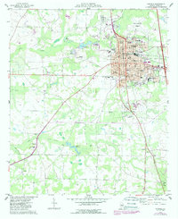 1974 Cordele1988 Print · USGSCordele and the surrounding Crisp County countryside are captured here during a period of steady growth in the mid-seventies. Researchers can trace family history at Sunnyside Cem or locate rural landmarks like Raines and the Cordele Fish Hatchery.
 - 1977 Map of Cobb
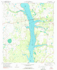 1977 Cobb1977 Print · USGSLake Blackshear and the Flint River shoreline define this South Georgia landscape during the 1970s. Researchers can trace rural church history at New Zion Ch and Springhill Ch or locate the old Seaboard Coast Line rail corridor.2 unique versions available
 - 1977 Map of Arabi
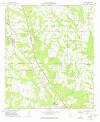 1977 Arabi1977 Print · USGSThe rural landscapes of Crisp and Turner counties are captured here in the late seventies, centered on the town of Arabi. Genealogists and local historians can trace family sites like the Arabi-Antioch Cem, Dakota, and New Hope Ch.
 - 1977 Map of Pateville
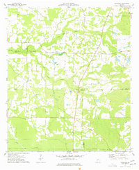 1977 Pateville1977 Print · USGSThe South Georgia plains near the Crisp and Worth county lines come alive in the late 1970s through this detailed survey. Researchers can trace family ties at the Story-Odum Cem, locate the old New Hope Sch, or follow the waters of Swift Creek through Pateville.
 - 1977 Map of Cordele
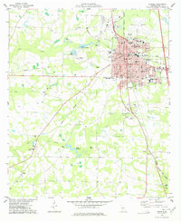 1977 Cordele1977 Print · USGSCordele thrived as a bustling South Georgia rail junction in the late seventies, where three major railroads converged. Genealogists and local historians can trace rural family sites like Macedonia Ch or locate the old County Prison Farm and Byrds Millpond.
 - 1977 Map of Hawkinsville
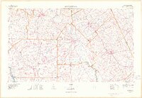 1977 Hawkinsville1977 Print · USGSSouth Georgia’s agricultural and rail heartland is meticulously documented during the late seventies. Researchers can trace family ties and transit routes through old depots and towns like Unadilla, Pineview, and Hawkinsville along the Ocmulgee River.
 - 1977 Map of Penia
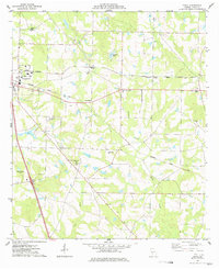 1977 Penia1977 Print · USGSCrisp County in the late seventies showcases a classic Georgia rail-and-farm landscape along the SEABOARD COAST LINE. Genealogists and local researchers can trace family connections through numerous rural landmarks like Dorough Cem, Zion Hope Ch, and Musselwhite.
 - 1977 Map of Warwick
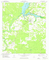 1977 Warwick1977 Print · USGSIn the late 1970s, the area around Warwick was defined by the waters of the Flint River and Lake Blackshear. Genealogists and historians can trace local landmarks like Bethlehem Ch, Davis Mill, and the Georgia Northern rail line.
 - 1978 Map of Hawkinsville, 1979 Print
 1978 Hawkinsville1979 Print · USGSMiddle Georgia's agricultural and rail heartland is captured here in the late seventies, showing the vital connections between the Ocmulgee River and the rural plains. Genealogists and historians can trace family locations near Vienna, Hawkinsville, or along the tracks of the Southern railroad.
 - 1981 Map of Cordele, 1982 Print
 1981 Cordele1982 Print · USGSSouth Georgia’s agricultural heartland is documented here in the early eighties, showing the convergence of the Seaboard Coast Line Railroad and the Georgia Southern and Florida lines. Genealogists and researchers can trace local landmarks like Bowens Mill Pond, the University of Georgia Research Center, and the shores of Lake Blackshear.
 - 1988 Map of Waycross
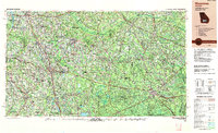 1988 Waycross1988 Print · USGSSouth Georgia's wiregrass and timber country is documented here in the late eighties, centered on the vital rail junction of Waycross. Genealogists and historians can trace the rural landscape from Okefenokee up to the Ocmulgee, finding sites like Lumber City and Jefferson Davis Memorial State Park.
 - 1988 Map of Macon, 1989 Print
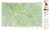 1988 Macon1989 Print · USGSCentral Georgia is captured during the late eighties, showing the expansive river systems and growing urban hubs of the regional interior. Genealogists and historians can trace the paths of the Central of Georgia Railroad and locate communities like Warner Robbins, Dublin, and Sandersville.
End of results
Showing maps 1-23 of 23
Top cities of Crisp County
Frequently asked questions
- What are the different types of historical maps available for Crisp County?
- What is the oldest map of Crisp County?
- Where can I purchase historical maps of Crisp County for my home or office?
- Where can I download high-res historical maps of Crisp County?
- Are there historical topographic maps available for Crisp County?
- Is there historical aerial imagery available for Crisp County?
- Where are historical maps of Crisp County sourced from?