2020s Maps of Crisp County, Georgia
Explore 24 historic maps of Crisp County from the 2020s. These maps offer a rare glimpse into what life looked like during the 2020s — showing old roads, neighborhoods, homes, and landmarks that have changed or disappeared over time.
Whether you're researching your family's past, planning a metal detecting trip, or studying how Crisp County's landscape evolved across the 2020s, these high-resolution maps are a powerful tool for exploring the history of this region.
- Focus on a specific era: All maps on this page are from the 2020s, giving you a focused view of this time period.
- See what’s changed: Compare century-old streets, trails, and buildings to today's modern landscape using overlays and satellite layers.
- Research with precision: Use these maps for genealogy, historical research, land use analysis, or educational projects.
- View, download, or print: Maps are fully viewable online in high resolution, and can be downloaded or printed for your own records.
Start exploring Crisp County's history through authentic maps from the 2020s. This is your window into the past.
Crisp County, GA maps
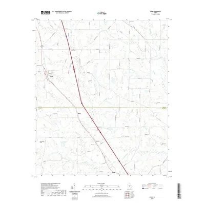
(24)- 2020 Map of Cordele, 2020 Print
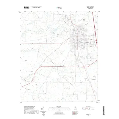 2020 Cordele2020 Print · USGSCovers Crisp County, including Cordele, Raines, and other nearby areas
 - 2020 Map of Vienna, 2020 Print
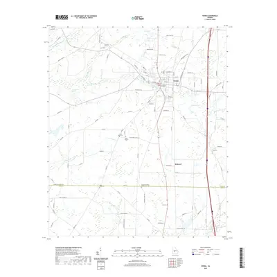 2020 Vienna2020 Print · USGSCovers Crisp County, including Vienna, Richwood, and other nearby areas
 - 2020 Map of Amboy, 2020 Print
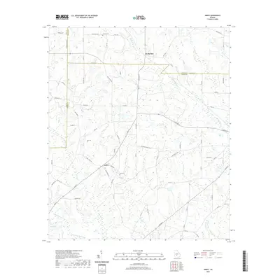 2020 Amboy2020 Print · USGSCovers Crisp County, including Amboy, Wilcox County, and other nearby areas
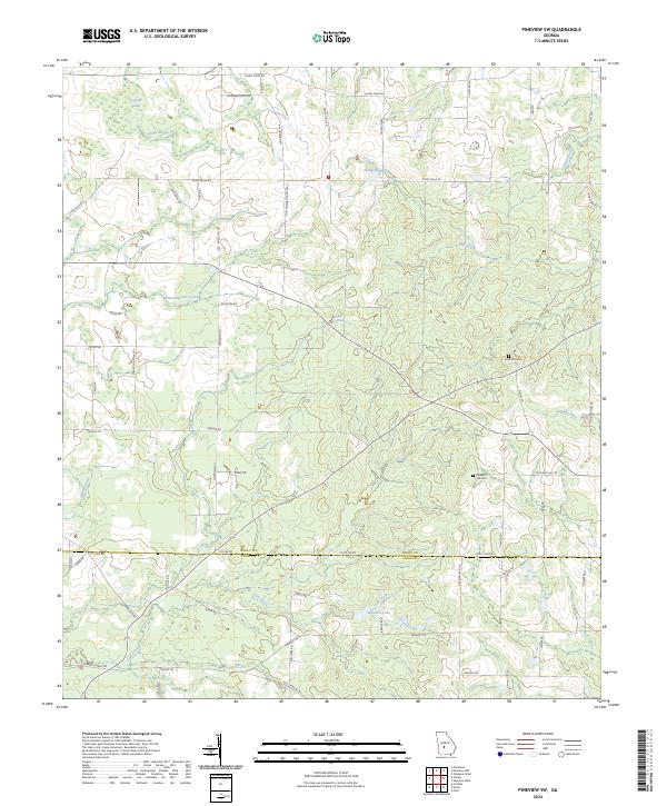
 - 2020 Map of Pineview SW, 2020 Print
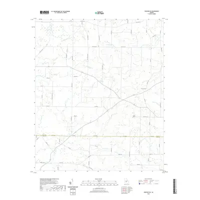 2020 Pineview SW2020 Print · USGSCovers Crisp County, including Lamb Town, Tremont, and other nearby areas
 - 2020 Map of Arabi, 2020 Print
 2020 Arabi2020 Print · USGSCovers Crisp County, including Arabi, Sibley, and other nearby areas
 - 2020 Map of Drayton, 2020 Print
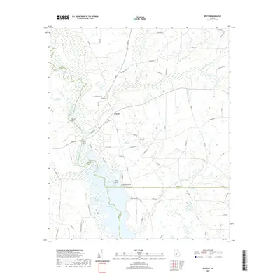 2020 Drayton2020 Print · USGSCovers Crisp County, including Drayton, Sumter County, and other nearby areas
 - 2020 Map of Warwick, 2020 Print
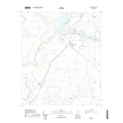 2020 Warwick2020 Print · USGSCovers Crisp County, including Warwick, Marshall, and other nearby areas
 - 2020 Map of Pitts, 2020 Print
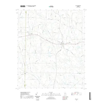 2020 Pitts2020 Print · USGSCovers Crisp County, including Pitts, Seville, and other nearby areas
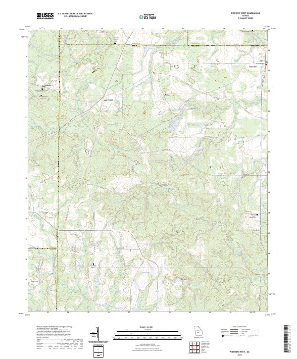
 - 2020 Map of Pineview West, 2020 Print
 2020 Pineview West2020 Print · USGSCovers Crisp County, including Pineview, Tippettville, and other nearby areas
 - 2020 Map of Cobb, 2020 Print
 2020 Cobb2020 Print · USGSCovers Crisp County, including Flintside, Cobb, and other nearby areas
 - 2020 Map of Penia, 2020 Print
 2020 Penia2020 Print · USGSCovers Crisp County, including Cordele, East Crisp, and other nearby areas
 - 2020 Map of Pateville, 2020 Print
 2020 Pateville2020 Print · USGSCovers Crisp County, including Arabi, Bridges, and other nearby areas
 - 2024 Map of Pateville, 2024 Print
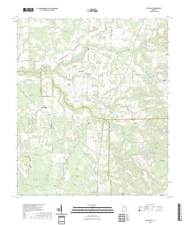 2024 Pateville2024 Print · USGSThe agricultural heart of South Georgia is documented here in the early twenty-first century as it spans three county lines. Genealogists and historians can locate legacy family burial sites like Story - Odom Cem and Zion Hope Cem while tracing the waters of Swift Creek.
 - 2024 Map of Penia, 2024 Print
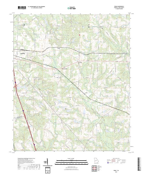 2024 Penia2024 Print · USGSCrisp County, Georgia, is shown here as a series of established rural settlements and crossroads at the turn of the 2020s. Researchers can locate family landmarks like Musselwhite Cem, Zion Hope Methodist Cem, and the small community of Listonia.
 - 2024 Map of Amboy, 2024 Print
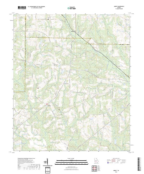 2024 Amboy2024 Print · USGSSouthern Turner County and its neighbors come into focus in this contemporary survey of Georgia's agricultural heartland. Genealogists and local historians can locate several family cemeteries, including Pate Cem and Oklahoma Cem, while tracing the paths of Wolf Creek and Double Run Creek.
 - 2024 Map of Pitts, 2024 Print
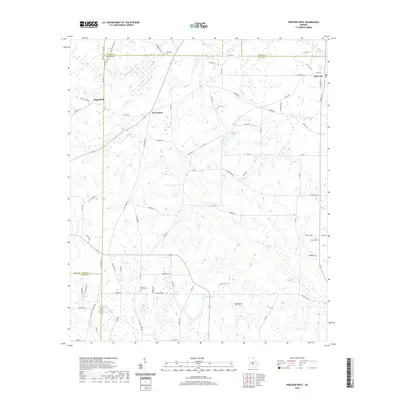
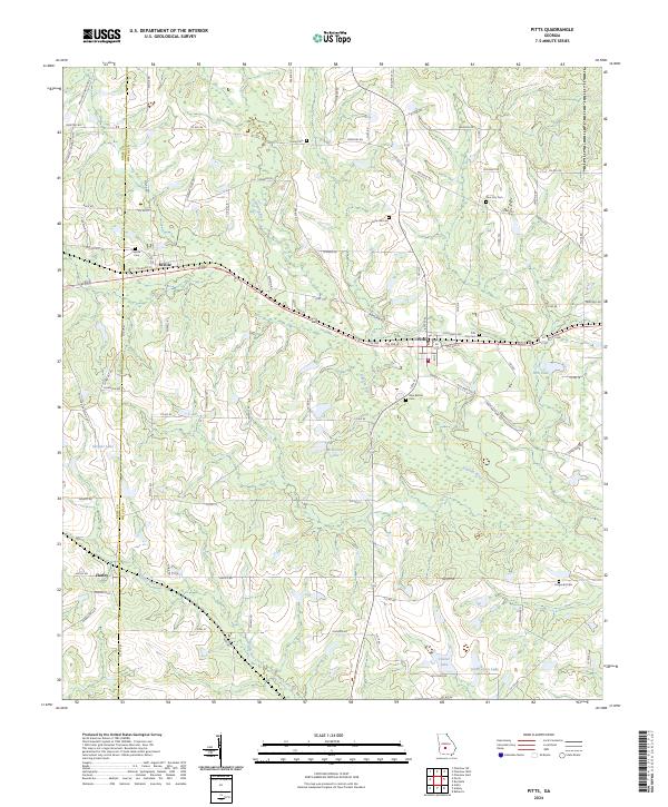 2024 Pitts2024 Print · USGSWilcox County in the 2020s remains a landscape of small agricultural hubs and river headwaters. Family historians can trace local roots through several rural burial grounds including Union Cem and Pine City Cem near the town of Pitts.
 - 2024 Map of Pineview West, 2024 Print
 2024 Pineview West2024 Print · USGSWilcox County and its neighbors are mapped here in the modern era, showing a landscape defined by the Alapaha River and rural crossroads. Genealogists can trace family footprints at Tippettville Baptist Church Cem, Pleasant View Cem, and the quiet settlement of Five Points.
 - 2024 Map of Pineview SW, 2024 Print
 2024 Pineview SW2024 Print · USGSThe Dooly and Crisp County borderlands are revealed in this contemporary survey of Georgia's agricultural interior. Researchers can trace rural lineages through family landmarks like Rock Hill Cem or follow the waters of the Alapaha River and Pennahatchee Creek.
 - 2024 Map of Vienna, 2024 Print
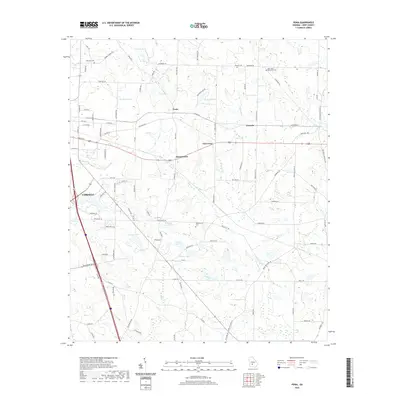
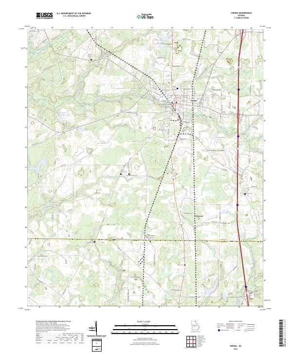 2024 Vienna2024 Print · USGSVienna and the surrounding Georgia farm country are shown here in the contemporary era, centered on the county seat. Genealogists and researchers can trace local family landmarks such as Mount Pleasant Cem, Shiloh Cem, and the Evergreen Holiness Baptist Church.
 - 2024 Map of Warwick, 2024 Print
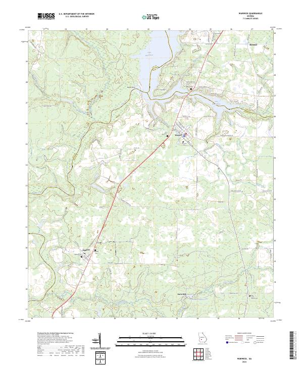 2024 Warwick2024 Print · USGSThe borderlands of Lee, Crisp, and Worth counties are detailed here in the modern era, centered on the Flint River corridor. Researchers can trace local lineage through several sites like Oakfield Cem, Warwick Cem, and the historical Burke Ferry.
 - 2024 Map of Cobb, 2024 Print
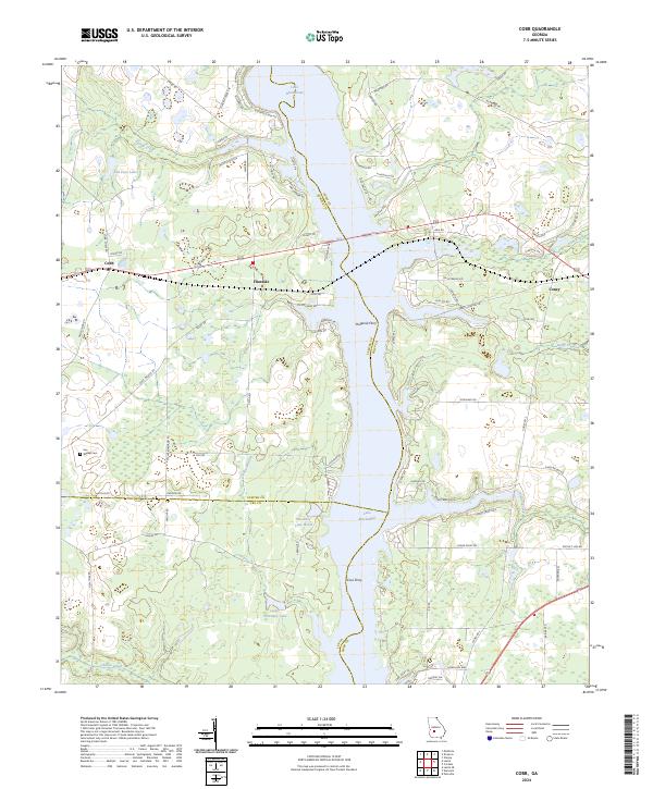 2024 Cobb2024 Print · USGSThe banks of Lake Blackshear and the rural settlements of Crisp and Sumter counties are documented in this modern survey. Researchers can trace local lineage through Walker Cem and the historic ferry crossings at Hugenia Ferry and Coxs Ferry.
 - 2024 Map of Arabi, 2024 Print
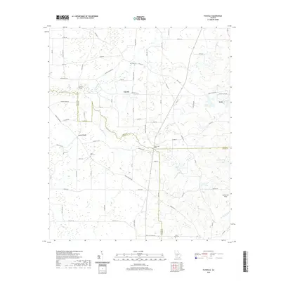
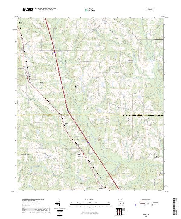 2024 Arabi2024 Print · USGSArabi and the surrounding Crisp County farm country are documented here in the early twenty-first century. Researchers can trace rural lineages through numerous burial grounds like Pitts Cem and Hopewell Cem or explore the drainage of Lime Creek.
 - 2024 Map of Cordele, 2024 Print
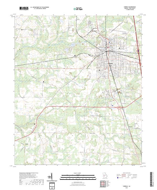 2024 Cordele2024 Print · USGSCordele and the surrounding Crisp County lowlands are captured here in the 2020s, showing a landscape defined by creek networks and regional transit. Researchers can locate several burial sites including Sunnyside Cem and Whitsett Cem or trace the geography of settlements like Wenona.
 - 2024 Map of Drayton, 2024 Print
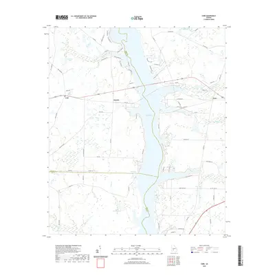
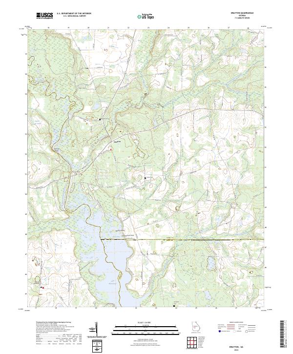 2024 Drayton2024 Print · USGSThe Flint River and Lake Blackshear dominate this Georgia landscape at the Dooly and Sumter county lines. Researchers can trace rural lineages at Spring Creek Baptist Church and Macedonia Cem, or locate riverside landmarks like Danville Bluff and Murrys Ferry.
End of results
Showing maps 1-24 of 24
Top cities of Crisp County
Frequently asked questions
- What are the different types of historical maps available for Crisp County?
- What is the oldest map of Crisp County?
- Where can I purchase historical maps of Crisp County for my home or office?
- Where can I download high-res historical maps of Crisp County?
- Are there historical topographic maps available for Crisp County?
- Is there historical aerial imagery available for Crisp County?
- Where are historical maps of Crisp County sourced from?