2000s (21st Century) Maps of Attapulgus, Georgia
Explore 11 historic maps of Attapulgus from the 2000s (21st Century). These maps offer a rare glimpse into what life looked like during the 2000s — showing old roads, neighborhoods, homes, and landmarks that have changed or disappeared over time.
Whether you're researching your family's past, planning a metal detecting trip, or studying how Attapulgus's landscape evolved across the 2000s, these high-resolution maps are a powerful tool for exploring the history of this region.
- Focus on a specific era: All maps on this page are from the 2000s, giving you a focused view of this time period.
- See what’s changed: Compare century-old streets, trails, and buildings to today's modern landscape using overlays and satellite layers.
- Research with precision: Use these maps for genealogy, historical research, land use analysis, or educational projects.
- View, download, or print: Maps are fully viewable online in high resolution, and can be downloaded or printed for your own records.
Start exploring Attapulgus's history through authentic maps from the 2000s. This is your window into the past.
Attapulgus, GA maps
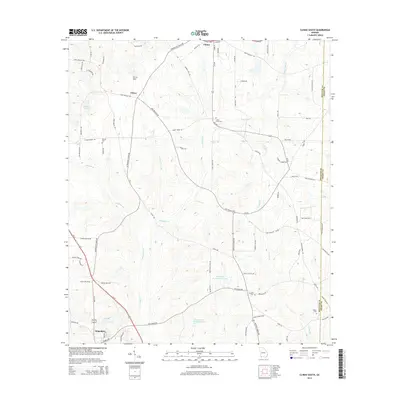
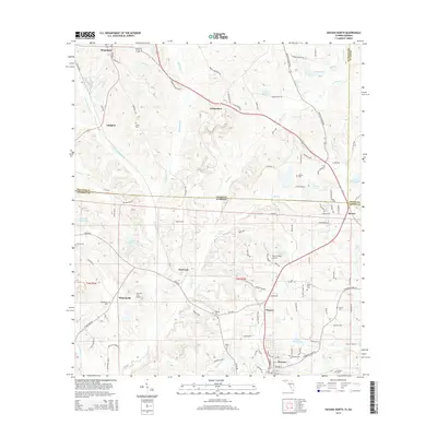
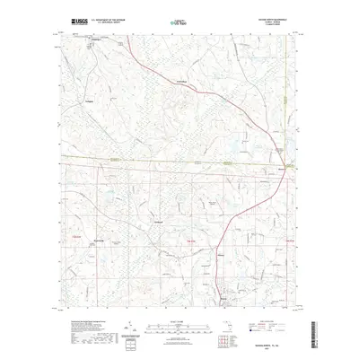
(11)- 2011 Map of Havana North, 2011 Print
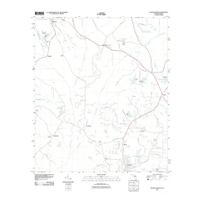 2011 Havana North2011 Print · USGSCovers Attapulgus, including Havana, Branchville, and other nearby areas
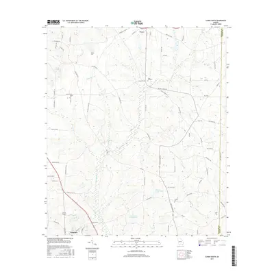
 - 2011 Map of Climax South, 2011 Print
 2011 Climax South2011 Print · USGSCovers Attapulgus, including Climax, Otisco, and other nearby areas
 - 2012 Map of Havana North, 2012 Print
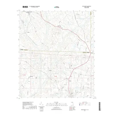
 2012 Havana North2012 Print · USGSCovers Attapulgus, including Havana, Branchville, and other nearby areas
 - 2014 Map of Climax South, 2014 Print
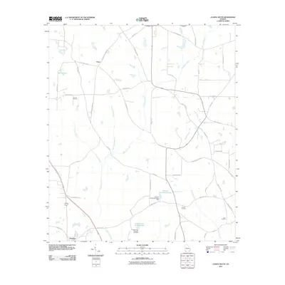
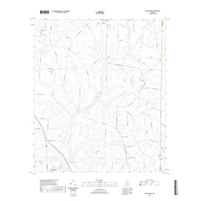
 2014 Climax South2014 Print · USGSCovers Attapulgus, including Climax, Otisco, and other nearby areas
 - 2015 Map of Havana North, 2015 Print
 2015 Havana North2015 Print · USGSCovers Attapulgus, including Havana, Branchville, and other nearby areas
 - 2017 Map of Climax South, 2017 Print
 2017 Climax South2017 Print · USGSCovers Attapulgus, including Climax, Otisco, and other nearby areas
 - 2018 Map of Havana North, 2018 Print
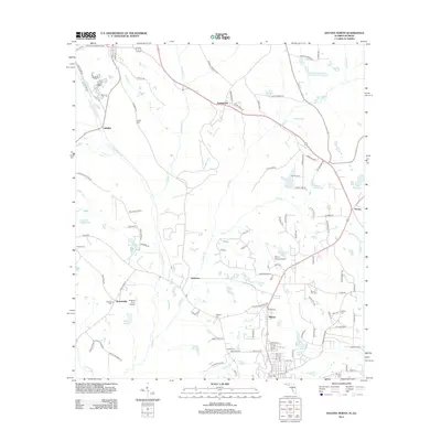
 2018 Havana North2018 Print · USGSCovers Attapulgus, including Havana, Branchville, and other nearby areas
 - 2020 Map of Climax South, 2020 Print
 2020 Climax South2020 Print · USGSCovers Attapulgus, including Climax, Otisco, and other nearby areas
 - 2021 Map of Havana North, 2021 Print
 2021 Havana North2021 Print · USGSCovers Attapulgus, including Havana, Branchville, and other nearby areas
 - 2024 Map of Climax South, 2024 Print
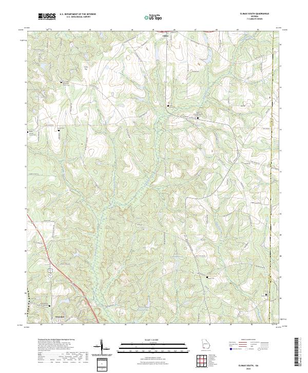 2024 Climax South2024 Print · USGSSouthern Georgia's rural landscape comes into focus here, showing the communities of Climax and Attapulgus as they appeared recently. Genealogists and local historians can trace family roots through several landmarks like Pisgah Primitive Baptist Church Cem and Samuel Cem.
 - 2024 Map of Havana North, 2024 Print
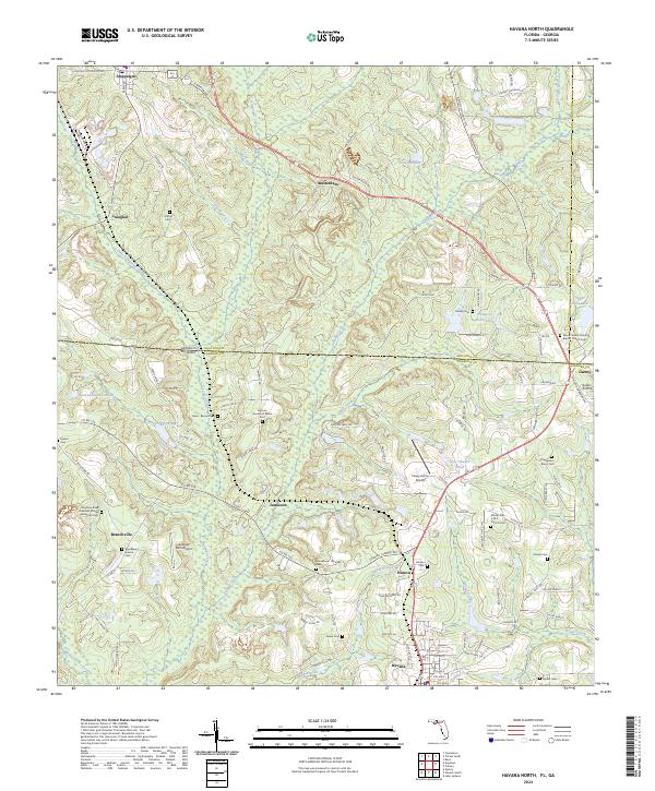 2024 Havana North2024 Print · USGSAcross the Georgia-Florida border today, this region maintains its deep agricultural roots and rural character. Researchers can trace family history through numerous burial sites like the Unnamed African American Cem and Griffin Cem or locate rural hubs like Jamieson and Hinson.
End of results
Showing maps 1-11 of 11
Top cities near Attapulgus
- Tallahassee historical maps
- Bainbridge historical maps
- Quincy historical maps
- Midway historical maps
- Havana historical maps
- Gretna historical maps
See more
Frequently asked questions
- What are the different types of historical maps available for Attapulgus?
- What is the oldest map of Attapulgus?
- Where can I purchase historical maps of Attapulgus for my home or office?
- Where can I download high-res historical maps of Attapulgus?
- Are there historical topographic maps available for Attapulgus?
- Is there historical aerial imagery available for Attapulgus?
- Where are historical maps of Attapulgus sourced from?