2000s (21st Century) Maps of Brookhaven, Georgia
Explore 10 historic maps of Brookhaven from the 2000s (21st Century). These maps offer a rare glimpse into what life looked like during the 2000s — showing old roads, neighborhoods, homes, and landmarks that have changed or disappeared over time.
Whether you're researching your family's past, planning a metal detecting trip, or studying how Brookhaven's landscape evolved across the 2000s, these high-resolution maps are a powerful tool for exploring the history of this region.
- Focus on a specific era: All maps on this page are from the 2000s, giving you a focused view of this time period.
- See what’s changed: Compare century-old streets, trails, and buildings to today's modern landscape using overlays and satellite layers.
- Research with precision: Use these maps for genealogy, historical research, land use analysis, or educational projects.
- View, download, or print: Maps are fully viewable online in high resolution, and can be downloaded or printed for your own records.
Start exploring Brookhaven's history through authentic maps from the 2000s. This is your window into the past.
Brookhaven, GA maps
(10)- 2011 Map of Northeast Atlanta, 2011 Print
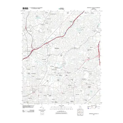 2011 Northeast Atlanta2011 Print · USGSCovers Brookhaven, including Atlanta, Tucker, and other nearby areas
 - 2011 Map of Chamblee, 2011 Print
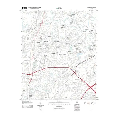 2011 Chamblee2011 Print · USGSCovers Brookhaven, including Atlanta, Sandy Springs, and other nearby areas
 - 2014 Map of Northeast Atlanta, 2014 Print
 2014 Northeast Atlanta2014 Print · USGSCovers Brookhaven, including Atlanta, Tucker, and other nearby areas
 - 2014 Map of Chamblee, 2014 Print
 2014 Chamblee2014 Print · USGSCovers Brookhaven, including Atlanta, Sandy Springs, and other nearby areas
 - 2017 Map of Chamblee, 2017 Print
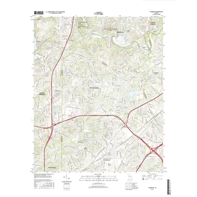 2017 Chamblee2017 Print · USGSCovers Brookhaven, including Atlanta, Sandy Springs, and other nearby areas
 - 2017 Map of Northeast Atlanta, 2017 Print
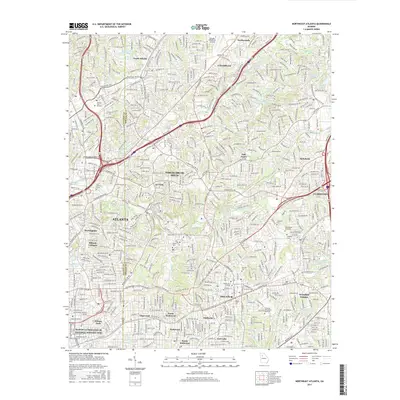 2017 Northeast Atlanta2017 Print · USGSCovers Brookhaven, including Atlanta, Tucker, and other nearby areas
 - 2020 Map of Northeast Atlanta, 2020 Print
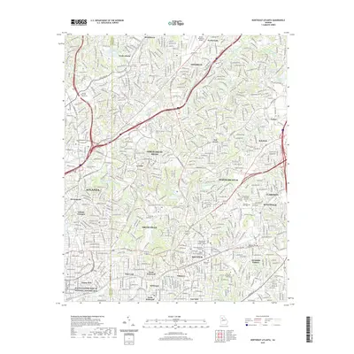 2020 Northeast Atlanta2020 Print · USGSCovers Brookhaven, including Atlanta, Tucker, and other nearby areas
 - 2020 Map of Chamblee, 2020 Print
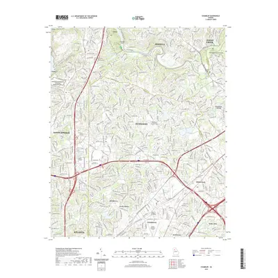 2020 Chamblee2020 Print · USGSCovers Brookhaven, including Atlanta, Sandy Springs, and other nearby areas
 - 2024 Map of Chamblee, 2024 Print
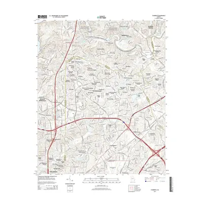
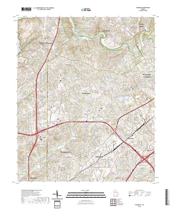 2024 Chamblee2024 Print · USGSThe northern Atlanta suburbs are shown in high detail during their modern era of growth and connectivity. Researchers can trace family history at the Stephen Martin Cem or locate regional landmarks like Dekalb-Peachtree Airport and Silver Lake.
 - 2024 Map of Northeast Atlanta, 2024 Print
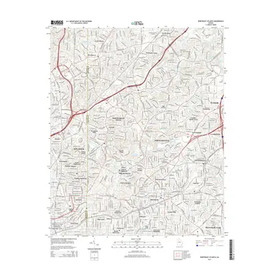
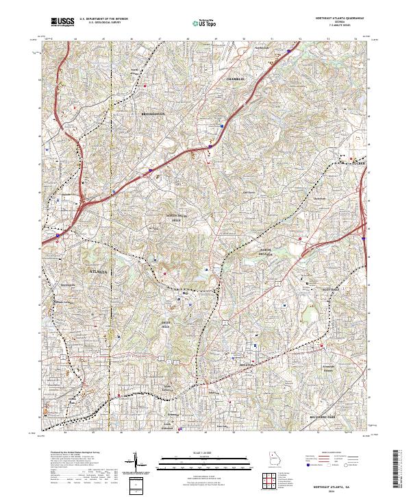 2024 Northeast Atlanta2024 Print · USGSThe Northeast Atlanta area and its surrounding DeKalb County suburbs are shown here in modern detail, from the busy corridors of Chamblee to Inman Park. Researchers can locate significant landmarks like the Martin Luther King Jr National Historic Site and historic burial grounds such as Piney Grove Cem.
End of results
Showing maps 1-10 of 10
Top cities near Brookhaven
- Atlanta historical maps
- Sandy Springs historical maps
- Roswell historical maps
- Johns Creek historical maps
- Alpharetta historical maps
- Marietta historical maps
See more
Top neighborhoods of Brookhaven
Frequently asked questions
- What are the different types of historical maps available for Brookhaven?
- What is the oldest map of Brookhaven?
- Where can I purchase historical maps of Brookhaven for my home or office?
- Where can I download high-res historical maps of Brookhaven?
- Are there historical topographic maps available for Brookhaven?
- Is there historical aerial imagery available for Brookhaven?
- Where are historical maps of Brookhaven sourced from?