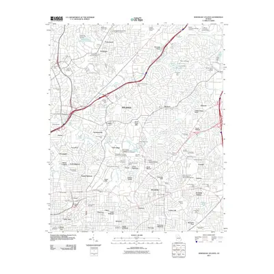
2011 Map of Northeast Atlanta
USGS Topo · Published 2011About this map
Decatur and its surrounding neighborhoods anchor this topographic study, revealing the dense urban and academic fabric of northeast Atlanta during the early 21st century. The map highlights a significant concentration of higher education institutions, including the sprawling campuses of Emory University and Oglethorpe University, alongside specialized facilities like the Bradley Observatory. The landscape is characterized by established residential enclaves such as Brookhaven, Druid Hills, and Avondale Estates, which are woven together by major transit corridors like the Northeast Expy NE.
Find a feature on this map
128 named features on this map. Tap any name to fly to it.
Don’t see what you’re looking for? This feature index may not catch every label — zoom into the map to look around manually.
Map Details
Editions of this 2011 Northeast Atlanta Map
This is the sole edition of this map. No revisions or reprints were ever made.
Other maps of this area

1888 · Atlanta
USGS Topo · 1:125,000

1890 · Atlanta
USGS Topo · 1:125,000

1892 · Atlanta
USGS Topo · 1:125,000

1895 · Atlanta
USGS Topo · 1:125,000

1953 · Atlanta
USGS Topo · 1:250,000

1954 · Conley
USGS Topo · 1:24,000

1954 · Chamblee
USGS Topo · 1:24,000

1954 · Decatur
USGS Topo · 1:24,000

1954 · Bolton
USGS Topo · 1:24,000

1954 · East Point
USGS Topo · 1:24,000