
1954 Map of Chamblee
USGS Topo · Published 1956About this map
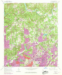
The Chattahoochee River defines the northern reaches of this DeKalb and Fulton County landscape, where mid-century suburban expansion meets established rural institutions. Significant land use is dedicated to the U S Naval Reservation Atlanta Air Station and the Southern Technical Institute, signaling the era's growing military and educational infrastructure. Near Chamblee, the Southern Railway corridor anchors an industrial and residential hub, while the emerging Northeast Expressway suggests the coming shift in regional transportation patterns.
Find a feature on this map
68 named features on this map. Tap any name to fly to it.
Don’t see what you’re looking for? This feature index may not catch every label — zoom into the map to look around manually.
Map Details
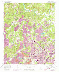
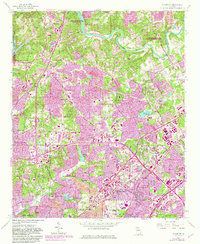
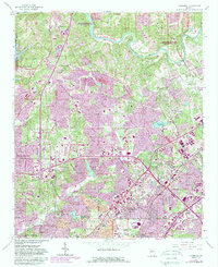
Editions of this 1954 Chamblee Map
5 editions found
Other maps of this area

1888 · Atlanta
USGS Topo · 1:125,000

1890 · Suwanee
USGS Topo · 1:125,000

1890 · Atlanta
USGS Topo · 1:125,000

1892 · Atlanta
USGS Topo · 1:125,000

1894 · Suwanee
USGS Topo · 1:125,000

1895 · Atlanta
USGS Topo · 1:125,000

1953 · Atlanta
USGS Topo · 1:250,000

1954 · Decatur
USGS Topo · 1:24,000

1954 · Bolton
USGS Topo · 1:24,000

1955 · Rome
USGS Topo · 1:250,000