
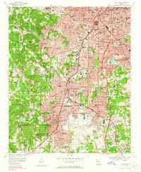
1954 Map of East Point
USGS Topo · Published 1957About this map
Atlanta's southern and western industrial corridors expand through this mid-century period, centered on the massive grounds of the Atlanta Municipal Airport and the strategic Military Reservation Fort McPherson. The map reveals a densely organized urban landscape where residential neighborhoods like Sylvan Hills and Cascade Heights are tightly integrated with civic infrastructure, including the Georgia Military Academy and numerous public schools such as Russell High Sch.
Find a feature on this map
117 named features on this map. Tap any name to fly to it.
Don’t see what you’re looking for? This feature index may not catch every label — zoom into the map to look around manually.
Map Details
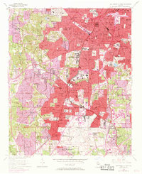
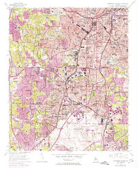
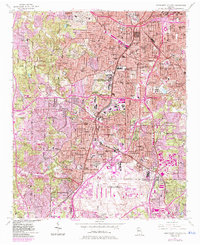
Editions of this 1954 East Point Map
5 editions found
Other maps of this area

1888 · Atlanta
USGS Topo · 1:125,000

1890 · Atlanta
USGS Topo · 1:125,000

1891 · Marietta
USGS Topo · 1:125,000

1892 · Atlanta
USGS Topo · 1:125,000

1895 · Atlanta
USGS Topo · 1:125,000

1895 · Marietta
USGS Topo · 1:125,000

1897 · Marietta
USGS Topo · 1:125,000

1901 · Marietta
USGS Topo · 1:125,000

1953 · Atlanta
USGS Topo · 1:250,000

1954 · Conley
USGS Topo · 1:24,000