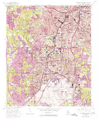
1954 Map of Southwest Atlanta
USGS Topo · Published 1974About this map
Hartsfield-Atlanta International Airport anchors the southern portion of this landscape, showing the facility as it appeared before the massive expansions of the late 20th century. The surrounding communities of East Point, Hapeville, and College Park are established residential and commercial hubs, densely gridded and serviced by the Central of Georgia and Atlanta and West Point railroads. The map reveals a transition from these industrial and aviation corridors to the more winding streets of Cascade Heights and Audubon Forest to the west.
Find a feature on this map
114 named features on this map. Tap any name to fly to it.
Don’t see what you’re looking for? This feature index may not catch every label — zoom into the map to look around manually.
Map Details
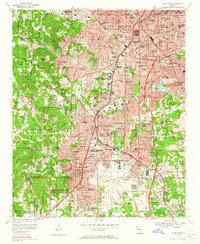
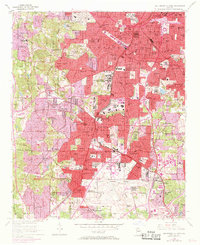
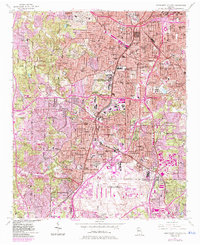
Editions of this 1954 Southwest Atlanta Map
5 editions found

Other maps of this area

1888 · Atlanta
USGS Topo · 1:125,000

1890 · Atlanta
USGS Topo · 1:125,000

1891 · Marietta
USGS Topo · 1:125,000

1892 · Atlanta
USGS Topo · 1:125,000

1895 · Atlanta
USGS Topo · 1:125,000

1895 · Marietta
USGS Topo · 1:125,000

1897 · Marietta
USGS Topo · 1:125,000

1901 · Marietta
USGS Topo · 1:125,000

1953 · Atlanta
USGS Topo · 1:250,000

1954 · Conley
USGS Topo · 1:24,000