
1954 Map of Conley
USGS Topo · Published 1956About this map
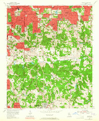
Oakland Cem and Grant Park sit at the northwestern edge of this mid-1950s survey, marking a dense urban interface where the Atlanta city boundary meets the suburban expansion of Eastland Heights and Panthersville. The landscape is a complex patchwork of institutional and community landmarks, featuring the iconic Cyclorama, a Penitentiary, and numerous neighborhood hubs like East Atlanta Ch and Murphy High Sch. To the south, the terrain opens into a less densely populated network of small lakes and creek valleys, including Constitution Lake and the South River. The Southern railroad line cuts through the district, connecting industrial and transit nodes like Constitution and Blair Village. A significant portion of the southeastern quadrant is dedicated to the U S Military Reservation (Atlanta General Depot), illustrating the heavy federal and logistical presence in the region during this era.
Find a feature on this map
83 named features on this map. Tap any name to fly to it.
Don’t see what you’re looking for? This feature index may not catch every label — zoom into the map to look around manually.
Map Details
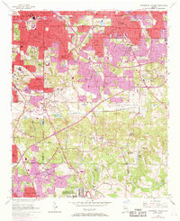
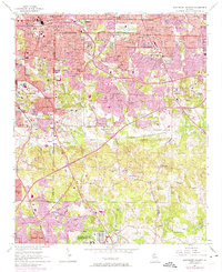
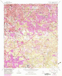
Editions of this 1954 Conley Map
5 editions found
Other maps of this area

1888 · Atlanta
USGS Topo · 1:125,000

1890 · Atlanta
USGS Topo · 1:125,000

1892 · Atlanta
USGS Topo · 1:125,000

1895 · Atlanta
USGS Topo · 1:125,000

1953 · Atlanta
USGS Topo · 1:250,000

1954 · Decatur
USGS Topo · 1:24,000

1954 · Jonesboro
USGS Topo · 1:24,000

1954 · Riverdale
USGS Topo · 1:24,000

1954 · Bolton
USGS Topo · 1:24,000

1954 · East Point
USGS Topo · 1:24,000