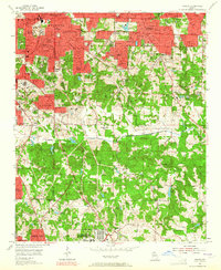
1954 Map of Conley
USGS Topo · Published 1965About this map
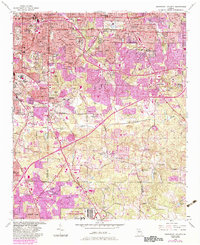
South River winds through this mid-century landscape where industrial expansion and suburban development meet. The northern edge is dominated by the grid of Atlanta and East Atlanta, featuring neighborhoods like Beulah Heights and Woodland Hills. Further south, the character shifts toward large-scale institutions and military holdings, most notably the U S Military Reservation and the National Guard Reservation. This era shows a community in transition, balancing the recreation of Grant Park and the Country Club with the industrial necessity of Sewage Disposal plants near Constitution Lake. The presence of numerous local institutions, including Boulder Crest School and Alexandria Memorial Ch, provides a clear view of the social geography before the massive expansion of the modern interstate system through these counties.
Find a feature on this map
92 named features on this map. Tap any name to fly to it.
Don’t see what you’re looking for? This feature index may not catch every label — zoom into the map to look around manually.
Map Details
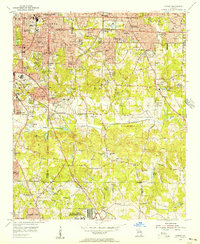
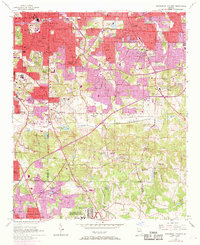
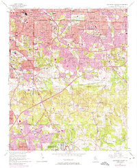
Editions of this 1954 Conley Map
5 editions found
Historical Maps of Atlanta Through Time
No other maps found