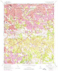
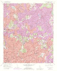
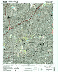
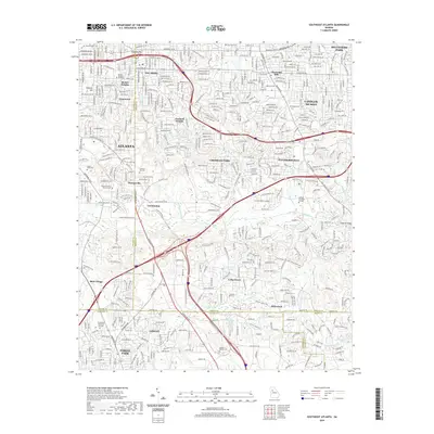
1954 Map of Southeast Atlanta
USGS Topo · Published 1975About this map
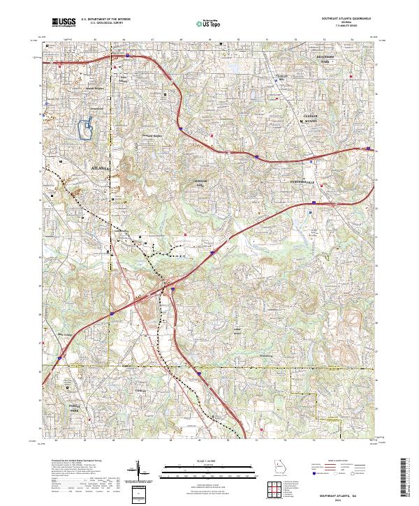
The Southern railroad corridor and the South River define the industrial and residential transition of DeKalb and Fulton counties in the mid-20th century. Urban expansion from Atlanta pushes southeast through neighborhoods like Beulah Heights, Ormewood, and Eastland Heights, while large institutional footprints like the U S Military Reservation and the DeKalb Youth Camp occupy the less densely settled southern reaches. Educational and spiritual anchors are numerous, including Murphy High Sch, Thomas Jefferson Sch, and several community churches like Stamps Chapel and New Hope Ch. The landscape is dotted with several small reservoirs and lakes, including Constitution Lake and Lake Murray, which provide a contrast to the growing network of thoroughfares such as Glenwood Avenue and Bouldercrest Road. For genealogists and local historians, the inclusion of Sylvester Cem and the Alexandria Memorial Cemetery provides specific points of interest for tracing family roots in the area.
Find a feature on this map
69 named features on this map. Tap any name to fly to it.
Don’t see what you’re looking for? This feature index may not catch every label — zoom into the map to look around manually.
Map Details
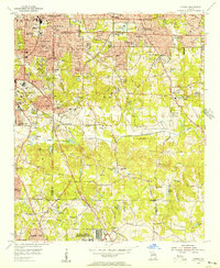
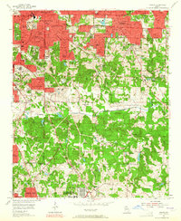
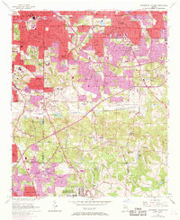
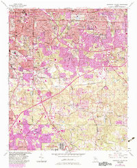
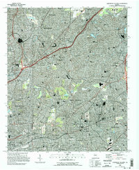
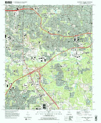
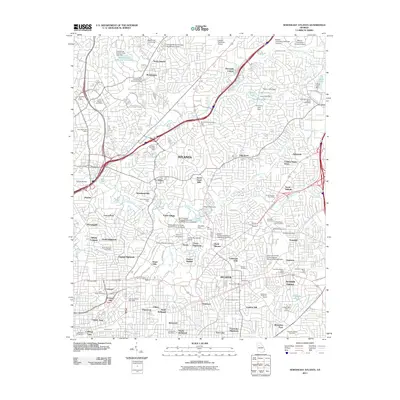
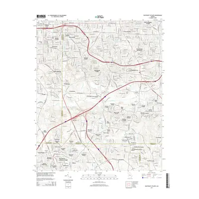
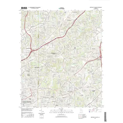
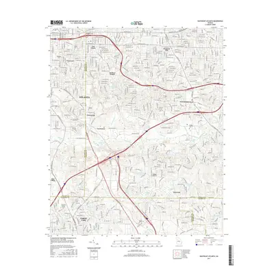
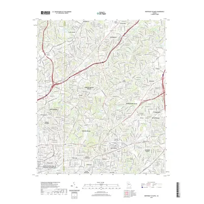
Editions of this 1954 Southeast Atlanta Map
5 editions found
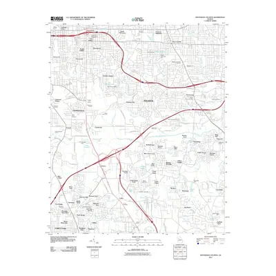
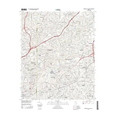
Historical Maps of Atlanta Through Time
15 maps found
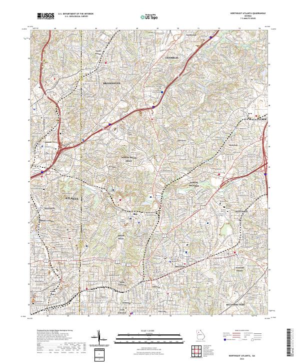
1954 Northeast Atlanta
DeKalb County, GA
1954 Southeast Atlanta
DeKalb County, GA
1993 Northeast Atlanta
DeKalb County, GA
1993 Southeast Atlanta
DeKalb County, GA
1997 Northeast Atlanta
DeKalb County, GA
2011 Northeast Atlanta
DeKalb County, GA
2011 Southeast Atlanta
DeKalb County, GA
2014 Northeast Atlanta
DeKalb County, GA
2014 Southeast Atlanta
DeKalb County, GA
2017 Northeast Atlanta
DeKalb County, GA
2017 Southeast Atlanta
DeKalb County, GA
2020 Northeast Atlanta
DeKalb County, GA
2020 Southeast Atlanta
DeKalb County, GA
2024 Northeast Atlanta
DeKalb County, GA
2024 Southeast Atlanta
DeKalb County, GA