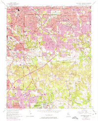
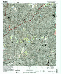
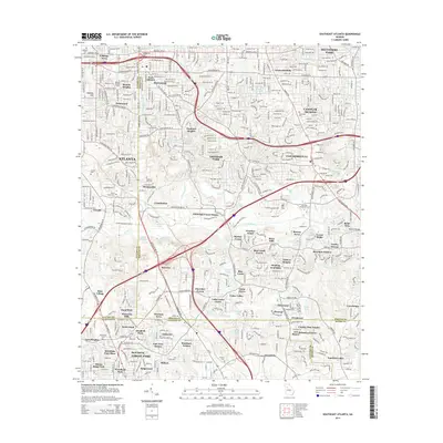
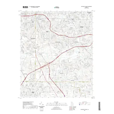
1954 Map of Southeast Atlanta
USGS Topo · Published 1983About this map
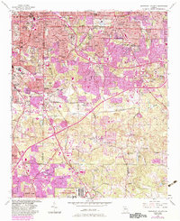
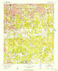
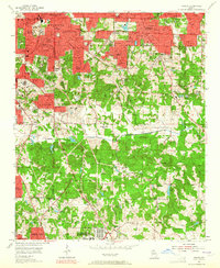
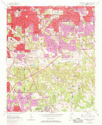
Atlanta urban growth pushes southeastward in this mid-century survey, revealing the dense residential street grids of Beulah Heights and East Atlanta giving way to the developing suburbs of Panthersville and Forest Park. The map captures a complex institutional landscape, dominated by the massive U S Penitentiary (Atlanta) and the sprawling Fort Gillem U S Military Reservation to the south. Educational and cultural landmarks like the Cyclorama in Grant Park and Roosevelt High Sch stand alongside numerous local congregations such as Stamps Chapel and White Oak Hills Ch.
Find a feature on this map
77 named features on this map. Tap any name to fly to it.
Don’t see what you’re looking for? This feature index may not catch every label — zoom into the map to look around manually.
Map Details
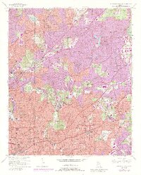
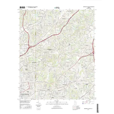
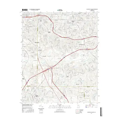
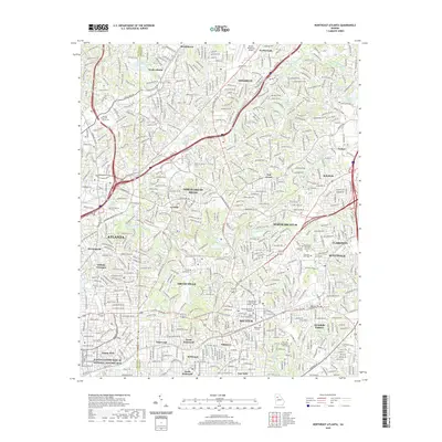
Editions of this 1954 Southeast Atlanta Map
5 editions found
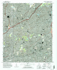
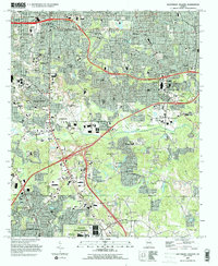
Historical Maps of Atlanta Through Time
15 maps found
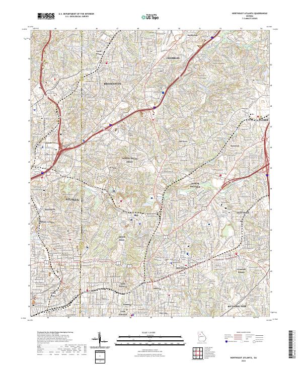
1954 Northeast Atlanta
DeKalb County, GA
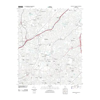
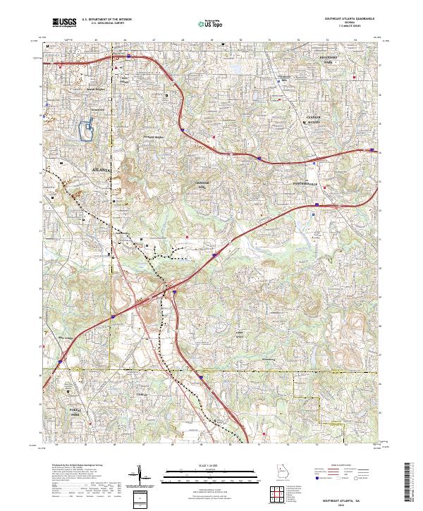
1954 Southeast Atlanta
DeKalb County, GA
1993 Northeast Atlanta
DeKalb County, GA
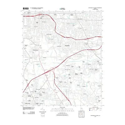
1993 Southeast Atlanta
DeKalb County, GA
1997 Northeast Atlanta
DeKalb County, GA
2011 Northeast Atlanta
DeKalb County, GA
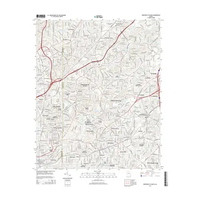
2011 Southeast Atlanta
DeKalb County, GA
2014 Northeast Atlanta
DeKalb County, GA
2014 Southeast Atlanta
DeKalb County, GA
2017 Northeast Atlanta
DeKalb County, GA
2017 Southeast Atlanta
DeKalb County, GA
2020 Northeast Atlanta
DeKalb County, GA
2020 Southeast Atlanta
DeKalb County, GA
2024 Northeast Atlanta
DeKalb County, GA
2024 Southeast Atlanta
DeKalb County, GA