
1954 Map of Jonesboro
USGS Topo · Published 1956About this map
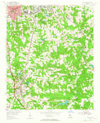
The Central of Georgia railroad corridor anchors this mid-century look at Clayton County, where the growing communities of Jonesboro and Forest Park are beginning to expand alongside significant military and infrastructure developments. The northern section is dominated by the expansive U S Military Reservation (Atlanta General Depot) and the Consolidated Sch, while the surrounding landscape is a network of small family-named lakes and rural landmarks. Genealogists can find numerous local burial sites and congregations, including the Williams Chapel Cem, Sylvester Ch, and the Rocky Mount Ch Cem. The transition from rural agriculture to suburban settlement is visible in the myriad of smaller water bodies like Lake Tara, Wrights Lake, and Lake Jodeco, which punctuate the drainage basins of Panther Creek and Cotton Indian Creek.
Find a feature on this map
63 named features on this map. Tap any name to fly to it.
Don’t see what you’re looking for? This feature index may not catch every label — zoom into the map to look around manually.
Map Details
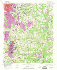
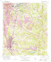
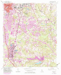
Editions of this 1954 Jonesboro Map
5 editions found
Other maps of this area

1888 · Atlanta
USGS Topo · 1:125,000

1890 · Atlanta
USGS Topo · 1:125,000

1892 · Atlanta
USGS Topo · 1:125,000

1895 · Atlanta
USGS Topo · 1:125,000

1953 · Atlanta
USGS Topo · 1:250,000

1954 · Conley
USGS Topo · 1:24,000

1954 · Riverdale
USGS Topo · 1:24,000

1954 · East Point
USGS Topo · 1:24,000

1956 · Redan
USGS Topo · 1:24,000

1957 · Atlanta
USGS Topo · 1:250,000