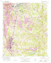
1954 Map of Jonesboro
USGS Topo · Published 1974About this map
Jonesboro serves as the focal point of this Clayton County survey, showing the community's evolution during the mid-20th century. The Central of Georgia railroad corridor anchors the local economy, connecting industrial and residential hubs like Forest Park, Morrow, and Lake City. To the north, the massive U.S. Military Reservation (Atlanta General Depot) occupies a significant footprint, reflecting the area's strategic importance during the Cold War era.
Find a feature on this map
58 named features on this map. Tap any name to fly to it.
Don’t see what you’re looking for? This feature index may not catch every label — zoom into the map to look around manually.
Map Details
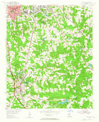
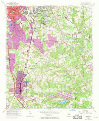
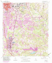
Editions of this 1954 Jonesboro Map
5 editions found
Other maps of this area

1888 · Atlanta
USGS Topo · 1:125,000

1890 · Atlanta
USGS Topo · 1:125,000

1892 · Atlanta
USGS Topo · 1:125,000

1895 · Atlanta
USGS Topo · 1:125,000

1953 · Atlanta
USGS Topo · 1:250,000

1954 · Conley
USGS Topo · 1:24,000

1954 · Jonesboro
USGS Topo · 1:24,000

1954 · Riverdale
USGS Topo · 1:24,000

1954 · East Point
USGS Topo · 1:24,000

1956 · Redan
USGS Topo · 1:24,000