
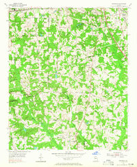
1954 Map of Riverdale
USGS Topo · Published 1956About this map
The Central of Georgia and Atlanta and West Point railroads anchor the transport network of this mid-1950s Georgia landscape, illustrating the rail-centric growth at the edge of the capital. The area is defined by its rural density, where family-named landmarks like Thurmond Lake and Adams Cemetery sit alongside a thick network of local congregations, including Philadelphia Church and Liberty Church.
Find a feature on this map
60 named features on this map. Tap any name to fly to it.
Don’t see what you’re looking for? This feature index may not catch every label — zoom into the map to look around manually.
Map Details
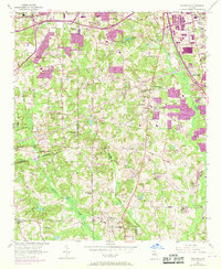
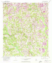
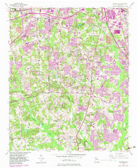
Editions of this 1954 Riverdale Map
5 editions found
Other maps of this area

1888 · Atlanta
USGS Topo · 1:125,000

1890 · Atlanta
USGS Topo · 1:125,000

1891 · Marietta
USGS Topo · 1:125,000

1892 · Atlanta
USGS Topo · 1:125,000

1895 · Atlanta
USGS Topo · 1:125,000

1895 · Marietta
USGS Topo · 1:125,000

1897 · Marietta
USGS Topo · 1:125,000

1901 · Marietta
USGS Topo · 1:125,000

1953 · Atlanta
USGS Topo · 1:250,000

1954 · Conley
USGS Topo · 1:24,000