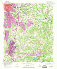
1954 Map of Jonesboro
USGS Topo · Published 1970About this map
Jonesboro and the surrounding Clayton County landscape appear here during a period of significant mid-century transition. The arrival of suburban expansion is visible in purple revisions from 1968, contrasting with the established rural and industrial patterns defined by the Central of Georgia and Southern railroads. The northern portion of the map is dominated by the sprawling U S Military Reservation (Atlanta General Depot) and the residential growth of Forest Park and Lake City.
Find a feature on this map
59 named features on this map. Tap any name to fly to it.
Don’t see what you’re looking for? This feature index may not catch every label — zoom into the map to look around manually.
Map Details
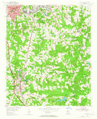
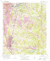
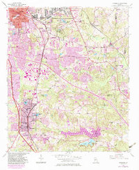
Editions of this 1954 Jonesboro Map
5 editions found
Other maps of this area

1888 · Atlanta
USGS Topo · 1:125,000

1890 · Atlanta
USGS Topo · 1:125,000

1892 · Atlanta
USGS Topo · 1:125,000

1895 · Atlanta
USGS Topo · 1:125,000

1953 · Atlanta
USGS Topo · 1:250,000

1954 · Conley
USGS Topo · 1:24,000

1954 · Jonesboro
USGS Topo · 1:24,000

1954 · Riverdale
USGS Topo · 1:24,000

1954 · East Point
USGS Topo · 1:24,000

1956 · Redan
USGS Topo · 1:24,000