Old Maps of Chamblee, Georgia for Academic Research
Study the evolution of Chamblee with 23 high-resolution historic maps. Whether you're teaching, researching, or modeling changes in land use, these maps provide essential visual documentation of urban, environmental, and geographic change.
- Analyze long-term change: Track patterns in development, transportation, and natural features.
- Ideal for environmental or urban studies: Support academic projects with primary historical map data.
- Use in the classroom or lab: Educators and researchers rely on these maps to bring historical context to life.
These maps are a powerful tool for teaching, research, and visualizing how Chamblee has changed over the decades.
Chamblee, GA maps
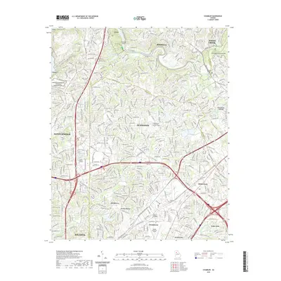
(23)- 1888 Map of Atlanta, 1955 Print
 1888 Atlanta1955 Print · USGSAtlanta and its surrounding counties emerge as a booming rail hub in the years following the Civil War. Trace early settlements and infrastructure like Jett Ferry, Oakley Mill, and the massive granite profile of Stone Mountain before the era of modern sprawl.
 - 1890 Map of Atlanta
 1890 Atlanta1890 Print · USGSGeorgia's rail and river networks converge in the late nineteenth century as the capital city expands. Genealogists can trace family homesteads near Jetts Store, Howells Mills, and the various river crossings like Paces Ferry.
 - 1892 Map of Atlanta
 1892 Atlanta1892 Print · USGSAtlanta and its surrounding counties appear at a pivotal moment of post-war growth as the region's rail network reached maturity. Genealogists and historians can trace the foundations of modern DeKalb and Fulton counties through landmarks like Stone Mountain, Roswell Junction, and Paces Ferry.
 - 1895 Map of Atlanta
 1895 Atlanta1895 Print · USGSThe growing railroad hub of Atlanta is shown here in the late nineteenth century alongside its surrounding river ferries and emerging suburbs. Trace old family names and sites like Howell Mills, Vining Station, and Ft. McPherson.7 unique versions available
 - 1953 Map of Atlanta, 1965 Print
 1953 Atlanta1965 Print · USGSThe growing Atlanta metro and the industrial corridors of Eastern Alabama are captured here during the mid-century transition. Researchers can trace the rail-to-road shift through hubs like Anniston and La Grange or locate sites within Fort McClellan.2 unique versions available
 - 1954 Map of Chamblee, 1956 Print
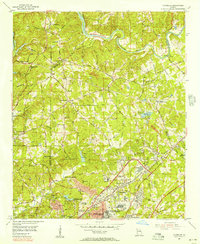 1954 Chamblee1956 Print · USGSDeKalb and Fulton counties are caught in a moment of rapid post-war growth during the mid-fifties, just as the expressway begins to reshape the landscape. Researchers can trace the footprints of the U S Naval Reservation Atlanta Air Station, Oglethorpe Univ, and old family landmarks like Winters Chapel Cem.5 unique versions available
 - 1954 Map of Decatur, 1956 Print
 1954 Decatur1956 Print · USGSThe eastern reaches of Atlanta and the heart of Decatur appear here during the mid-fifties post-war boom. Genealogists and historians can trace the foundations of neighborhoods like Druid Hills and Oakhurst alongside landmarks like Agnes Scott College and the Decatur Cemetery.4 unique versions available
 - 1957 Map of Atlanta
 1957 Atlanta1957 Print · USGSAtlanta and the Alabama borderlands appear here in the mid-fifties, capturing the region's post-war suburban and industrial transition. Trace the development of early transport hubs and military sites like Fort McPherson, Anniston, and the Kennesaw Mountain National Battlefield Park.
 - 1958 Map of Atlanta
 1958 Atlanta1958 Print · USGSMid-century Georgia and Alabama are shown in this regional study of the corridor between the Chattahoochee River and the Appalachian foothills. Local historians can trace the development of suburban Atlanta alongside vital landmarks like Stone Mountain, Dobbins AFB, and the Seaboard Air Line rail routes.
 - 1981 Map of Atlanta, 1982 Print
 1981 Atlanta1982 Print · USGSThe Atlanta metro area is shown during its late-century boom, following the completion of the beltway and the rise of its major international airport. Trace the growth of suburbs from Mableton to Tucker and the footprints of Fort McPherson and Stone Mtn.
 - 1993 Map of Northeast Atlanta, 1995 Print
 1993 Northeast Atlanta1995 Print · USGSThe Atlanta suburbs in the early nineties show a dense landscape of established neighborhoods and prestigious academic centers. Researchers can trace the development of Druid Hills, Avondale Estates, and Emory University alongside the Georgia RR and Northeast Expressway.
 - 1993 Map of Chamblee, 1995 Print
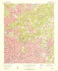
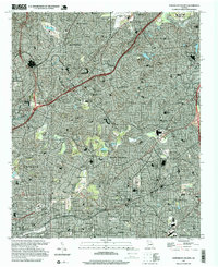
 1993 Chamblee1995 Print · USGSSuburban Atlanta was reaching a peak of expansion in the early nineties, centered on the thriving DeKalb and Fulton county lines. Researchers can trace the development of local landmarks like Oglethorpe University, Perimeter Mall, and the De Kalb-Peachtree Airport.
 - 1997 Map of Northeast Atlanta, 1999 Print
 1997 Northeast Atlanta1999 Print · USGSDeKalb County is shown at a peak of late-century expansion, where historic college campuses meet modern interstate infrastructure. Researchers can trace the footprints of Emory University and Agnes Scott College or locate landmarks like Lenox Square Mall and the Georgia Railroad.
 - 2011 Map of Northeast Atlanta, 2011 Print
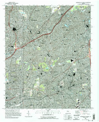
 2011 Northeast Atlanta2011 Print · USGSCovers Chamblee, including Atlanta, Brookhaven, and other nearby areas
 - 2011 Map of Chamblee, 2011 Print
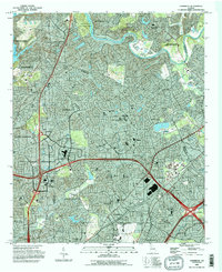
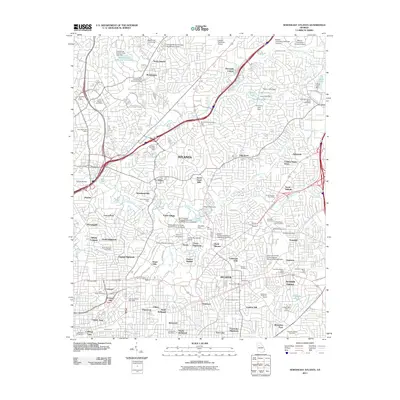
 2011 Chamblee2011 Print · USGSCovers Chamblee, including Atlanta, Sandy Springs, and other nearby areas
 - 2014 Map of Northeast Atlanta, 2014 Print
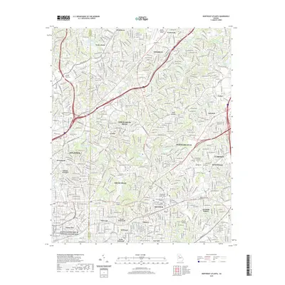
 2014 Northeast Atlanta2014 Print · USGSCovers Chamblee, including Atlanta, Brookhaven, and other nearby areas
 - 2014 Map of Chamblee, 2014 Print
 2014 Chamblee2014 Print · USGSCovers Chamblee, including Atlanta, Sandy Springs, and other nearby areas
 - 2017 Map of Chamblee, 2017 Print
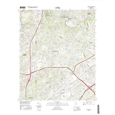 2017 Chamblee2017 Print · USGSCovers Chamblee, including Atlanta, Sandy Springs, and other nearby areas
 - 2017 Map of Northeast Atlanta, 2017 Print
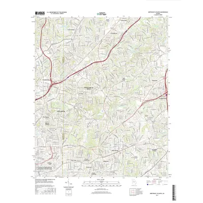 2017 Northeast Atlanta2017 Print · USGSCovers Chamblee, including Atlanta, Brookhaven, and other nearby areas
 - 2020 Map of Northeast Atlanta, 2020 Print
 2020 Northeast Atlanta2020 Print · USGSCovers Chamblee, including Atlanta, Brookhaven, and other nearby areas
 - 2020 Map of Chamblee, 2020 Print
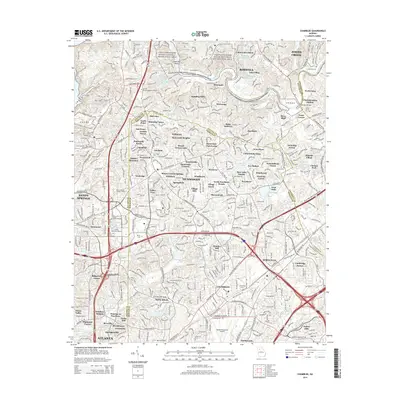
 2020 Chamblee2020 Print · USGSCovers Chamblee, including Atlanta, Sandy Springs, and other nearby areas
 - 2024 Map of Chamblee, 2024 Print
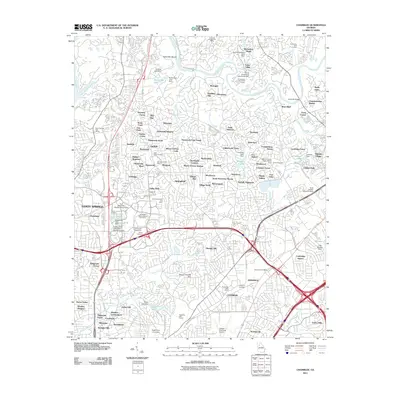
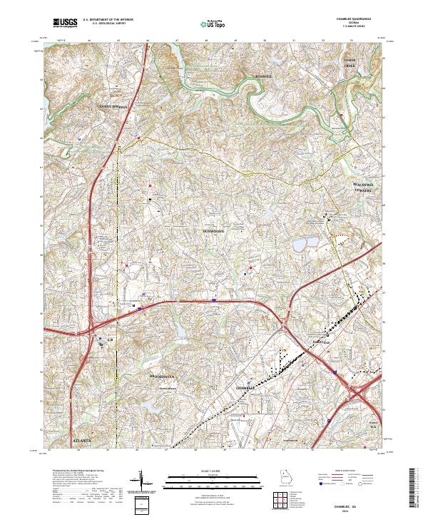 2024 Chamblee2024 Print · USGSThe northern Atlanta suburbs are shown in high detail during their modern era of growth and connectivity. Researchers can trace family history at the Stephen Martin Cem or locate regional landmarks like Dekalb-Peachtree Airport and Silver Lake.
 - 2024 Map of Northeast Atlanta, 2024 Print
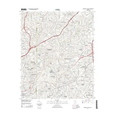
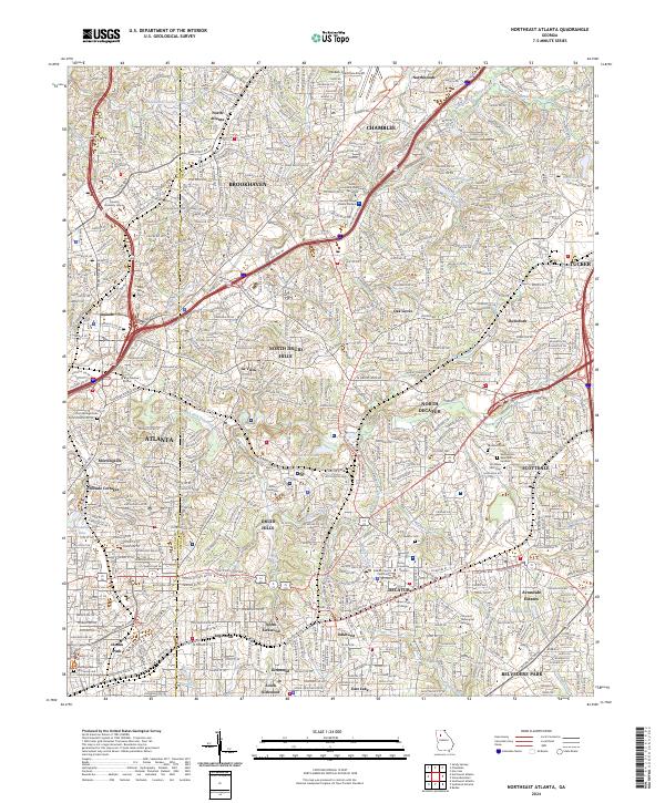 2024 Northeast Atlanta2024 Print · USGSThe Northeast Atlanta area and its surrounding DeKalb County suburbs are shown here in modern detail, from the busy corridors of Chamblee to Inman Park. Researchers can locate significant landmarks like the Martin Luther King Jr National Historic Site and historic burial grounds such as Piney Grove Cem.
End of results
Showing maps 1-23 of 23
Top cities near Chamblee
- Atlanta historical maps
- Sandy Springs historical maps
- Roswell historical maps
- Johns Creek historical maps
- Alpharetta historical maps
- Marietta historical maps
See more
Top neighborhoods of Chamblee
Frequently asked questions
- What are the different types of historical maps available for Chamblee?
- What is the oldest map of Chamblee?
- Where can I purchase historical maps of Chamblee for my home or office?
- Where can I download high-res historical maps of Chamblee?
- Are there historical topographic maps available for Chamblee?
- Is there historical aerial imagery available for Chamblee?
- Where are historical maps of Chamblee sourced from?