Old Maps of Albany, Georgia for Genealogy
Trace your family roots with 25 historic maps of Albany. These high-res maps reveal old neighborhoods, homesites, landmarks, and streets — helping you uncover where your ancestors lived and how the area evolved over time.
- Explore historic neighborhoods: Identify where your relatives may have lived in the 1800s or 1900s.
- Compare maps over time: Trace the changes in streets, buildings, and landmarks for multi-generational research.
- Perfect for genealogy & ancestry research: Used by family historians and researchers to map out lineage and migration.
These maps are an incredible resource for exploring your personal connection to Albany's past.
Albany, GA maps
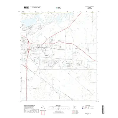
(25)- 1953 Map of Dothan, 1966 Print
 1953 Dothan1966 Print · USGSSoutheast Alabama and Southwest Georgia are captured during a period of massive hydraulic and military expansion in the mid-fifties. Genealogists and historians can trace rural landmarks like Antioch Church and School, the Andrew Jackson Monument, and the early footprint of Fort Rucker Military Reservation.3 unique versions available
 - 1954 Map of Dothan
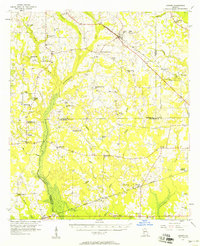
 1954 Dothan1954 Print · USGSSoutheast Alabama and Southwest Georgia are seen here in the mid-fifties, during a decade of military expansion and rural transition. Genealogists can trace the location of country schools like Little Zion School or the grounds of Kolomoki Mounds State Park.
 - 1955 Map of Dothan
 1955 Dothan1955 Print · USGSSoutheast Alabama and Southwest Georgia are captured here in the mid-fifties, showing a landscape of river-port history and growing military bases. Researchers can trace rural life via the Andrew Jackson Monument, Bauxite mines, and the Central of Georgia RR.
 - 1956 Map of Albany East, 1957 Print
 1956 Albany East1957 Print · USGSDougherty County was undergoing a major military expansion in the mid-fifties, seen here through the sprawling grounds of Turner Air Force Base. Researchers can trace old family-named churches like Mercer Grove Ch and the crossroads at Pecan City.4 unique versions available
 - 1956 Map of Albany West, 1957 Print
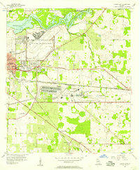
 1956 Albany West1957 Print · USGSMid-century Dougherty County centers on the thriving rail and river hub of Albany as it expanded westward toward the state nursery and municipal airport. Genealogists and local historians can trace the footprints of Crown Hill Cemetery, Radium Springs, and the Albany Speedway (Abandoned).4 unique versions available
 - 1956 Map of Sasser, 1958 Print
 1956 Sasser1958 Print · USGSTerrell and Dougherty counties are mapped here during the mid-fifties, revealing a rural Georgia landscape of swampy creeks and rail-side hamlets. Researchers can locate specific family landmarks like Clarks Mill, the Andrew Jackson Historical Monument, and Mt Mary Cem & Ch.2 unique versions available
 - 1956 Map of Albany, 1958 Print
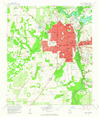
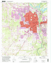
 1956 Albany1958 Print · USGSMid-century Albany and the Flint River valley are captured here just as the Cold War military footprint was expanding. Genealogists can trace family landmarks like Radium Springs, the Turner Air Force Base, and Pecan City.2 unique versions available
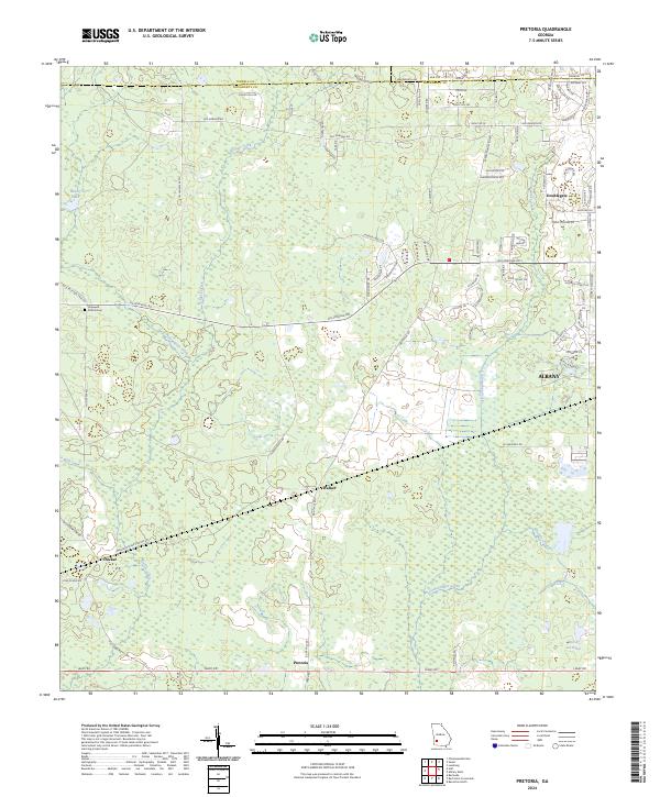
 - 1973 Map of Pretoria, 1974 Print
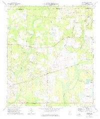 1973 Pretoria1974 Print · USGSDougherty County in the early seventies shows a landscape of rail-connected settlements and winding creek bottoms. Genealogists and local historians can trace family locations near Pretoria, Lockett Crossing, and rural landmarks like Mossy Grove Ch.2 unique versions available
 - 1981 Map of Albany, 1982 Print
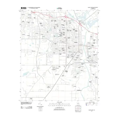
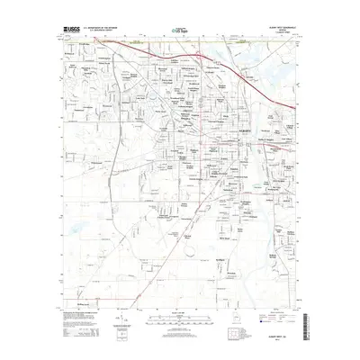
 1981 Albany1982 Print · USGSSouthwest Georgia in the early eighties was a region defined by its rail hubs and winding river systems. Here you can trace the agricultural landscape from Albany to Dawson, locating sites like Radium Springs, the U S Naval Reservation, and the historic junction at Shellman.
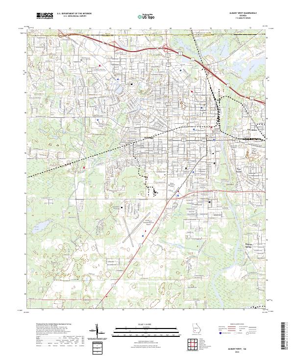
 - 1997 Map of Albany West, 2001 Print
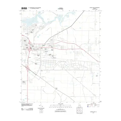
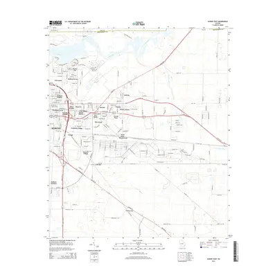
 1997 Albany West2001 Print · USGSDougherty County's riverfront and western suburbs are documented in the late 1990s as the urban grid of Albany expanded toward the regional airport. Researchers can trace the development of local institutions from Albany State College to family landmarks like Crown Hill Cemetery and the leisure grounds at Radium Springs.
 - 2011 Map of Pretoria, 2011 Print
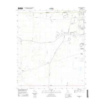
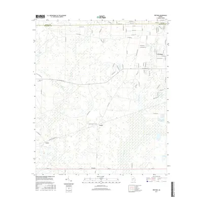
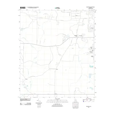 2011 Pretoria2011 Print · USGSCovers Albany, including Walker, Ducker, and other nearby areas
 - 2011 Map of Albany West, 2011 Print
 2011 Albany West2011 Print · USGSCovers Albany, including Flintside, Sunnyland, and other nearby areas
 - 2011 Map of Albany East, 2011 Print
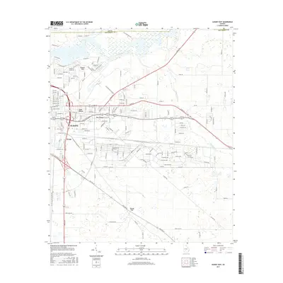
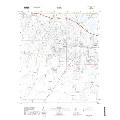
 2011 Albany East2011 Print · USGSCovers Albany, including Putney, Stroms, and other nearby areas
 - 2014 Map of Pretoria, 2014 Print
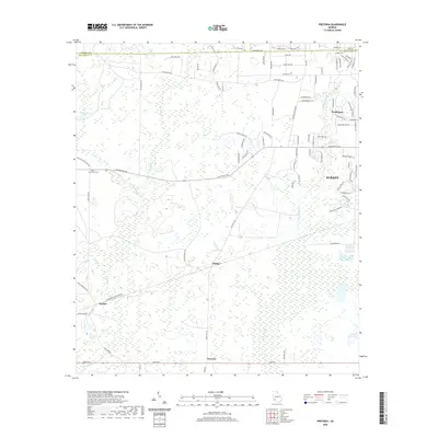
 2014 Pretoria2014 Print · USGSCovers Albany, including Walker, Ducker, and other nearby areas
 - 2014 Map of Albany West, 2014 Print
 2014 Albany West2014 Print · USGSCovers Albany, including Flintside, Sunnyland, and other nearby areas
 - 2014 Map of Albany East, 2014 Print
 2014 Albany East2014 Print · USGSCovers Albany, including Putney, Stroms, and other nearby areas
 - 2017 Map of Albany West, 2017 Print
 2017 Albany West2017 Print · USGSCovers Albany, including Flintside, Sunnyland, and other nearby areas
 - 2017 Map of Pretoria, 2017 Print
 2017 Pretoria2017 Print · USGSCovers Albany, including Walker, Ducker, and other nearby areas
 - 2017 Map of Albany East, 2017 Print
 2017 Albany East2017 Print · USGSCovers Albany, including Putney, Stroms, and other nearby areas
 - 2020 Map of Albany West, 2020 Print
 2020 Albany West2020 Print · USGSCovers Albany, including Flintside, Sunnyland, and other nearby areas
 - 2020 Map of Pretoria, 2020 Print
 2020 Pretoria2020 Print · USGSCovers Albany, including Walker, Ducker, and other nearby areas
 - 2020 Map of Albany East, 2020 Print
 2020 Albany East2020 Print · USGSCovers Albany, including Putney, Stroms, and other nearby areas
 - 2024 Map of Pretoria, 2024 Print
 2024 Pretoria2024 Print · USGSDougherty County's rural transitions are visible in this recent study of the land between the western edge of Albany and the farming communities of Pretoria and Ducker. Trace the local waterways of Kiokee Creek and Tullahassee Creek or locate the Hopewell Church Cem.
 - 2024 Map of Albany East, 2024 Print
 2024 Albany East2024 Print · USGSThe Dougherty County landscape is shown in its contemporary form, where the Flint River meets industrial and military hubs. Trace the layout of MCLB Albany or locate family sites near Shiloh Missionary Baptist Church Cem and Putney.
 - 2024 Map of Albany West, 2024 Print
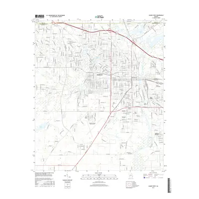
 2024 Albany West2024 Print · USGSThe city of Albany and the Flint River corridor are mapped here during a period of modern growth and civic expansion. Genealogists and researchers can locate Crown Hill Cem, Radium Springs, and the Albany State University campuses.
End of results
Showing maps 1-25 of 25
Top cities near Albany
Top neighborhoods of Albany
- Lockett Crossing historical maps
- Avondale Acres historical maps
- Azalea Terrace historical maps
- Fairfield historical maps
- Merry Acres historical maps
- Sherwood Acres historical maps
See more
Frequently asked questions
- What are the different types of historical maps available for Albany?
- What is the oldest map of Albany?
- Where can I purchase historical maps of Albany for my home or office?
- Where can I download high-res historical maps of Albany?
- Are there historical topographic maps available for Albany?
- Is there historical aerial imagery available for Albany?
- Where are historical maps of Albany sourced from?