Old Maps of Baconton, Georgia
Explore 17 old maps of Baconton, spanning from 1953 to today. These high-resolution historic maps reveal how streets, neighborhoods, landmarks, and natural features evolved over time — perfect for genealogy, metal detecting, research, and local history exploration.
What you can do with these maps:
- See how Baconton changed over time: Compare historical maps to modern-day views to trace roads, homesites, rail lines & more.
- View detailed metadata: Each map includes creators, publishers, year, scale, and archive source.
- Overlay maps with satellite & LiDAR: Visualize the past alongside modern tools to explore terrain & human change.
- Trusted historical sources: Maps sourced from the USGS, Library of Congress, and other archives.
- Access maps your way: View online, download high-res files, or order prints for personal or research use.
Start exploring old maps of Baconton to uncover forgotten places, hidden landmarks, and the deep history beneath your feet.
Baconton, GA maps
(17)- 1953 Map of Dothan, 1966 Print
 1953 Dothan1966 Print · USGSSoutheast Alabama and Southwest Georgia are captured during a period of massive hydraulic and military expansion in the mid-fifties. Genealogists and historians can trace rural landmarks like Antioch Church and School, the Andrew Jackson Monument, and the early footprint of Fort Rucker Military Reservation.3 unique versions available
 - 1954 Map of Dothan
 1954 Dothan1954 Print · USGSSoutheast Alabama and Southwest Georgia are seen here in the mid-fifties, during a decade of military expansion and rural transition. Genealogists can trace the location of country schools like Little Zion School or the grounds of Kolomoki Mounds State Park.
 - 1955 Map of Dothan
 1955 Dothan1955 Print · USGSSoutheast Alabama and Southwest Georgia are captured here in the mid-fifties, showing a landscape of river-port history and growing military bases. Researchers can trace rural life via the Andrew Jackson Monument, Bauxite mines, and the Central of Georgia RR.
 - 1956 Map of Baconton, 1957 Print
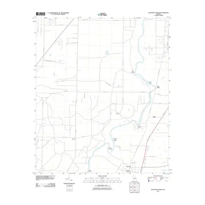
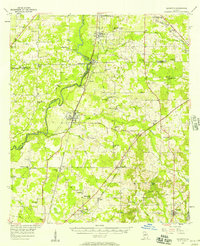 1956 Baconton1957 Print · USGSMitchell and Dougherty counties in the mid-fifties are defined by the winding Flint River and a dense network of rural rail lines. Researchers can trace genealogical roots through dozens of local landmarks like Noahs Ark Ch, Hard Up Cem, and Sale City.2 unique versions available
 - 1974 Map of Baconton South, 1976 Print
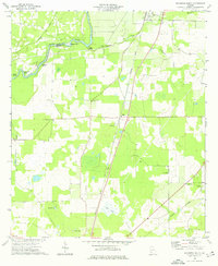 1974 Baconton South1976 Print · USGSSouth of Baconton in the mid-1970s, this Mitchell County landscape shows a well-defined rural network of rail lines and country churches. Genealogists and historians can trace local family landmarks and burial sites like China Grove Cem, St Mary Ch, and the settlement at Duffee.
 - 1974 Map of Baconton North, 1976 Print
 1974 Baconton North1976 Print · USGSThe Flint River basin in the mid-1970s reveals a landscape of river-bend settlements and deep-rooted rural communities. Family historians can trace landmarks like Hard Up Cem, Pleasant Grove Ch, and the rail corridor serving Putney and Baconton.2 unique versions available
 - 1981 Map of Camilla, 1982 Print
 1981 Camilla1982 Print · USGSSouthwest Georgia in the early 1980s is defined by the winding Flint River and the ancient legacy of Kolomoki Mounds State Park. Researchers can trace the agricultural and rail economy through junctions like Blakely, Pelham, and the rail lines of the Central of Georgia.2 unique versions available
 - 2011 Map of Baconton South, 2011 Print
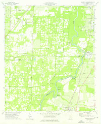
 2011 Baconton South2011 Print · USGSCovers Baconton, including Camilla, Adelaide, and other nearby areas
 - 2011 Map of Baconton North, 2011 Print
 2011 Baconton North2011 Print · USGSCovers Baconton, including Putney, River Bend, and other nearby areas
 - 2014 Map of Baconton South, 2014 Print
 2014 Baconton South2014 Print · USGSCovers Baconton, including Camilla, Adelaide, and other nearby areas
 - 2014 Map of Baconton North, 2014 Print
 2014 Baconton North2014 Print · USGSCovers Baconton, including Putney, River Bend, and other nearby areas
 - 2017 Map of Baconton North, 2017 Print
 2017 Baconton North2017 Print · USGSCovers Baconton, including Putney, River Bend, and other nearby areas
 - 2017 Map of Baconton South, 2017 Print
 2017 Baconton South2017 Print · USGSCovers Baconton, including Camilla, Adelaide, and other nearby areas
 - 2020 Map of Baconton North, 2020 Print
 2020 Baconton North2020 Print · USGSCovers Baconton, including Putney, River Bend, and other nearby areas
 - 2020 Map of Baconton South, 2020 Print
 2020 Baconton South2020 Print · USGSCovers Baconton, including Camilla, Adelaide, and other nearby areas
 - 2024 Map of Baconton North, 2024 Print
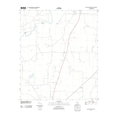
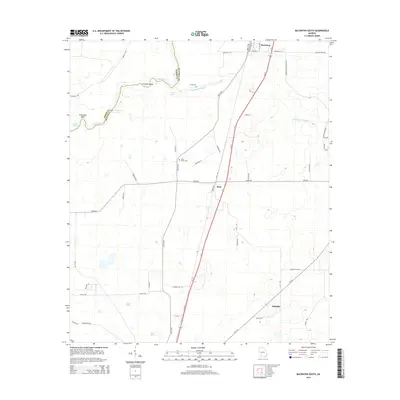
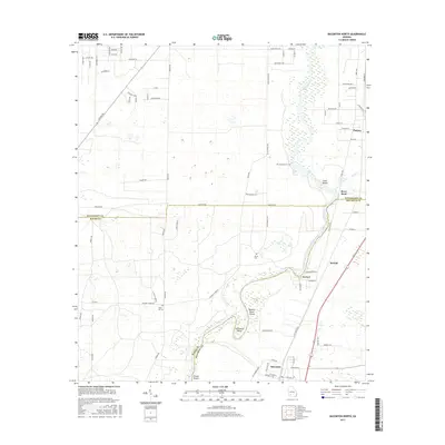
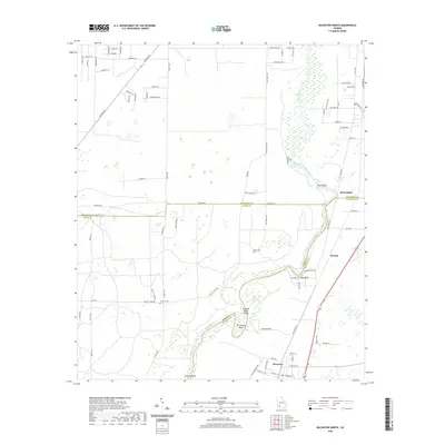
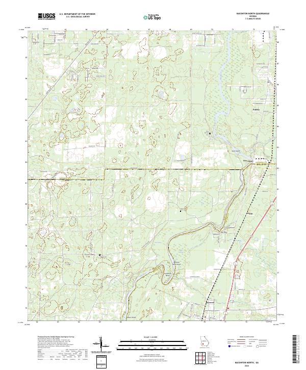 2024 Baconton North2024 Print · USGSSouthwest Georgia's river country comes into focus in this contemporary survey of the Dougherty and Mitchell county border. Genealogists and local historians can locate family burial sites like Hard Up Cem and trace the winding course of the Flint River past Red Bluff and Putney.
 - 2024 Map of Baconton South, 2024 Print
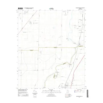
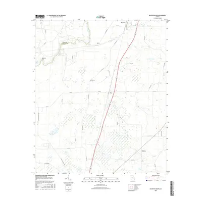
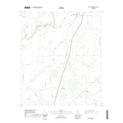
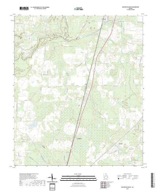 2024 Baconton South2024 Print · USGSMitchell County, Georgia, is captured here in its current rural configuration, where the Flint River meets fertile farmland. Genealogists and local researchers can trace family landmarks like China Grove Cem or follow the old tracks through Baconton and Adelaide.
End of results
Showing maps 1-17 of 17
Top cities near Baconton
- Albany historical maps
- Camilla historical maps
- Putney historical maps
- Newton historical maps
- Sale City historical maps
Frequently asked questions
- What are the different types of historical maps available for Baconton?
- What is the oldest map of Baconton?
- Where can I purchase historical maps of Baconton for my home or office?
- Where can I download high-res historical maps of Baconton?
- Are there historical topographic maps available for Baconton?
- Is there historical aerial imagery available for Baconton?
- Where are historical maps of Baconton sourced from?