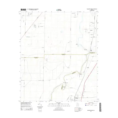
2014 Map of Baconton North
USGS Topo · Published 2014About this map
The Flint River carves a winding path through the heart of this southwest Georgia landscape, defining the boundaries where Dougherty, Mitchell, and Baker counties meet. Along its banks, geological features like Wilson-Blue Spring, Blue Hole Spring, and Miller Springs emerge, highlighting the region's rich hydrologic character. The river's serpentine course creates significant landforms, including the sharp turn at Horseshoe Bend and the presence of Goat Island and Buzzard Roost Island.
Find a feature on this map
84 named features on this map. Tap any name to fly to it.
Don’t see what you’re looking for? This feature index may not catch every label — zoom into the map to look around manually.
Map Details
Editions of this 2014 Baconton North Map
This is the sole edition of this map. No revisions or reprints were ever made.
Other maps of this area

1953 · Dothan
USGS Topo · 1:250,000

1954 · Dothan
USGS Topo · 1:250,000

1955 · Dothan
USGS Topo · 1:250,000

1956 · Albany East
USGS Topo · 1:24,000

1956 · Albany West
USGS Topo · 1:24,000

1956 · Baconton
USGS Topo · 1:62,500

1956 · Newton
USGS Topo · 1:62,500

1956 · Sasser
USGS Topo · 1:62,500

1956 · Albany
USGS Topo · 1:62,500

1973 · Pretoria
USGS Topo · 1:24,000