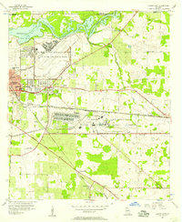
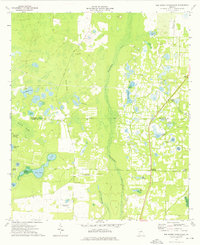
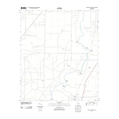
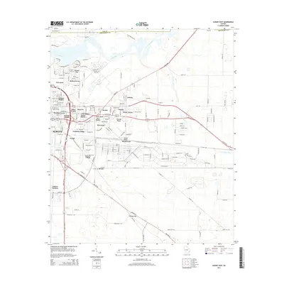
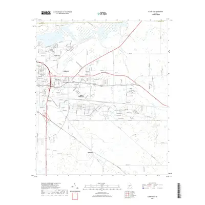
1956 Map of Albany East
USGS Topo · Published 1957About this map
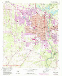
Turner Air Force Base and the US Naval Marine Corps Supply Center dominate the landscape east of the Flint River in this mid-1950s record of Dougherty County. The map captures a period of significant military investment alongside established agricultural communities like Pecan City and Dosaga. The presence of the Albany Radio Range Station and the sprawling airfield infrastructure at Turner City highlights the region's importance to national defense during the early Cold War.
Find a feature on this map
37 named features on this map. Tap any name to fly to it.
Don’t see what you’re looking for? This feature index may not catch every label — zoom into the map to look around manually.
Map Details
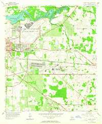
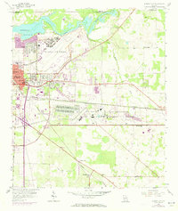
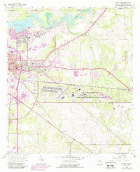
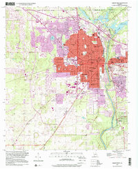
Editions of this 1956 Albany East Map
4 editions found
Historical Maps of Albany Through Time
37 maps found
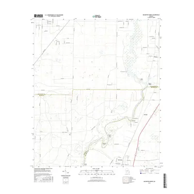
1956 Albany East
Dougherty County, GA
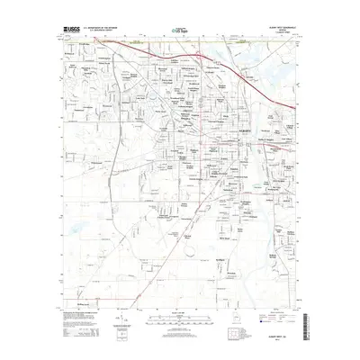
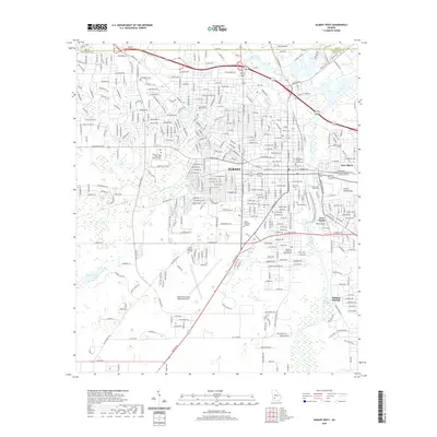
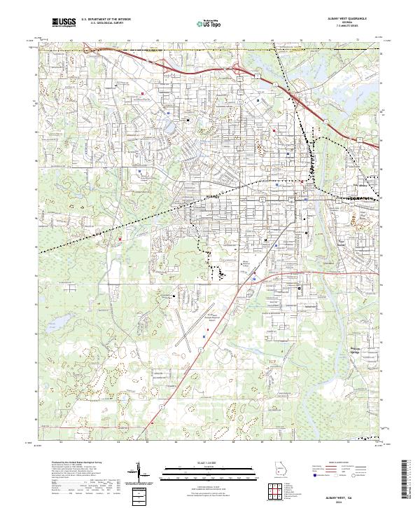
1956 Albany West
Dougherty County, GA
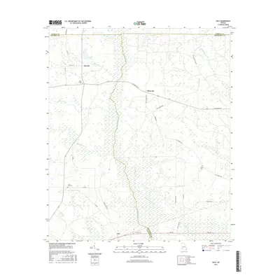
1973 Holt
Dougherty County, GA
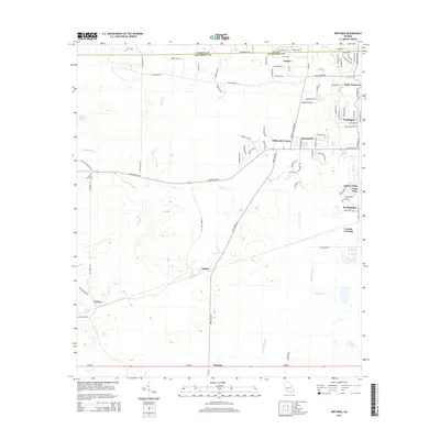
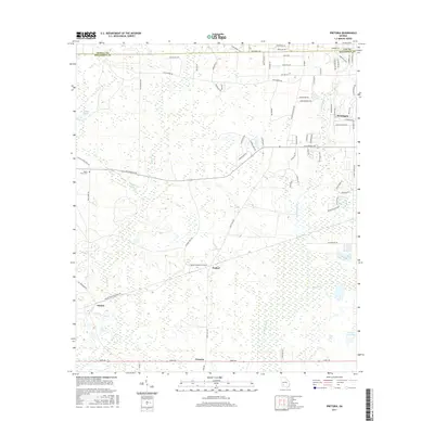
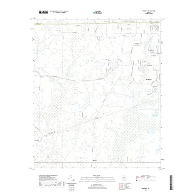
1973 Pretoria
Dougherty County, GA
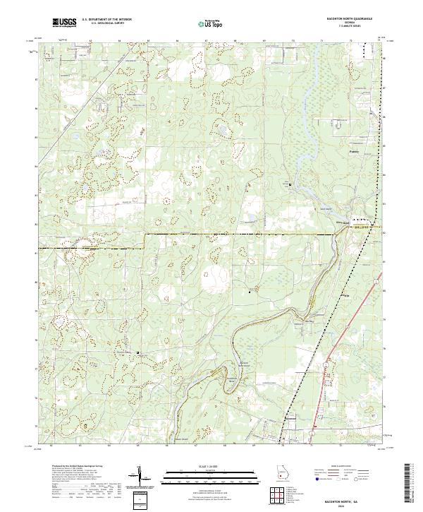
1974 Baconton North
Dougherty County, GA
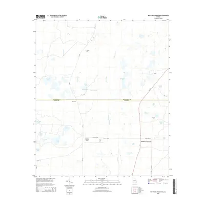
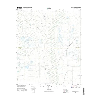
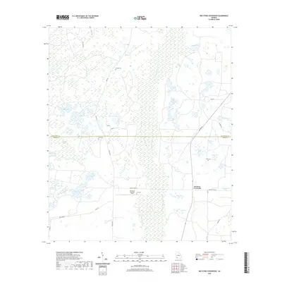
1974 Red Store Crossroads
Dougherty County, GA
1997 Albany West
Dougherty County, GA
2011 Albany East
Dougherty County, GA
2011 Albany West
Dougherty County, GA
2011 Baconton North
Dougherty County, GA
2011 Holt
Dougherty County, GA
2011 Pretoria
Dougherty County, GA
2011 Red Store Crossroads
Dougherty County, GA
2014 Albany East
Dougherty County, GA
2014 Albany West
Dougherty County, GA
2014 Baconton North
Dougherty County, GA
2014 Holt
Dougherty County, GA
2014 Pretoria
Dougherty County, GA
2014 Red Store Crossroads
Dougherty County, GA
2017 Albany East
Dougherty County, GA
2017 Albany West
Dougherty County, GA
2017 Baconton North
Dougherty County, GA
2017 Holt
Dougherty County, GA
2017 Pretoria
Dougherty County, GA
2017 Red Store Crossroads
Dougherty County, GA
2020 Albany East
Dougherty County, GA
2020 Albany West
Dougherty County, GA
2020 Baconton North
Dougherty County, GA
2020 Holt
Dougherty County, GA
2020 Pretoria
Dougherty County, GA
2020 Red Store Crossroads
Dougherty County, GA

2024 Albany East
Dougherty County, GA
2024 Albany West
Dougherty County, GA
2024 Baconton North
Dougherty County, GA
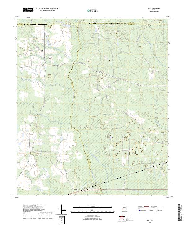
2024 Holt
Dougherty County, GA
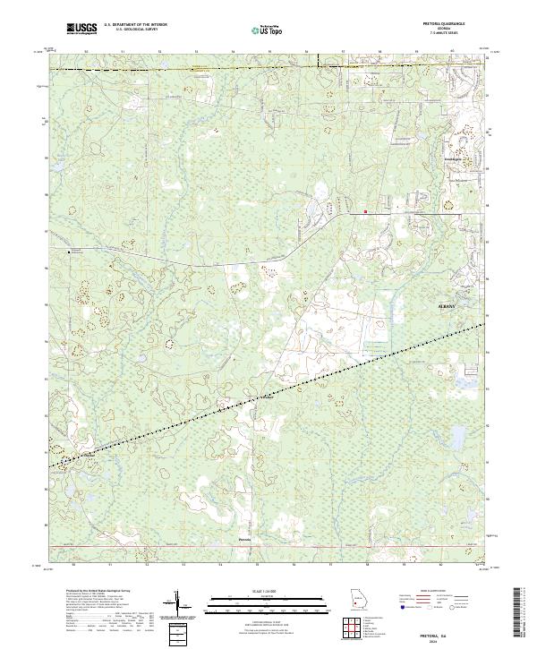
2024 Pretoria
Dougherty County, GA
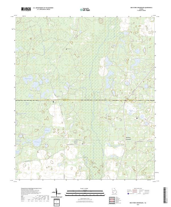
2024 Red Store Crossroads
Dougherty County, GA