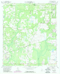
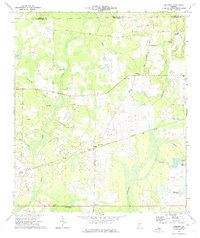
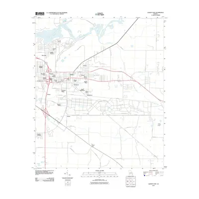
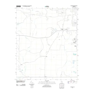
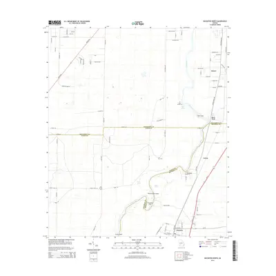
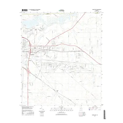
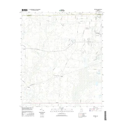
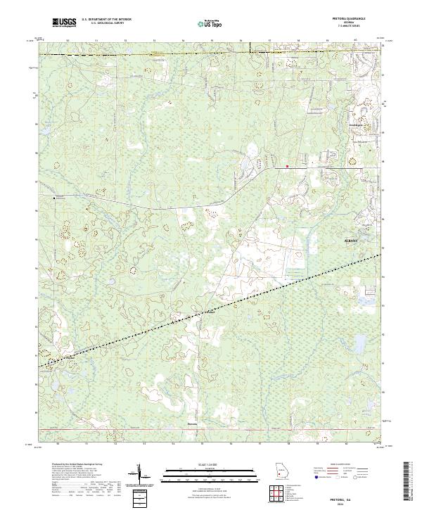
1973 Map of Pretoria
USGS Topo · Published 1988About this map
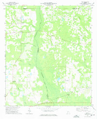
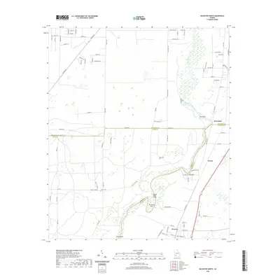
Cooleewahee Creek and Kiokee Creek flow through a landscape of wetlands and timbered tracts west of the growing city of Albany. In the late twentieth century, this region remained largely agricultural, characterized by its numerous small community centers and country churches. The small settlement of Pretoria sits in the south near the intersection of Tarva Rd, while Walker and Lockett Crossing mark local junctions further north. Several significant landmarks speak to the local infrastructure of the era, including the State Plant Nursery and the West Dougherty Community House. Evidence of rural social life is found in the distribution of religious sites like Mossy Grove Ch, Oak Hill Ch, and Oak Grove Ch, which served the farming families scattered between the lowland swamps and higher ground.
Find a feature on this map
32 named features on this map. Tap any name to fly to it.
Don’t see what you’re looking for? This feature index may not catch every label — zoom into the map to look around manually.
Map Details
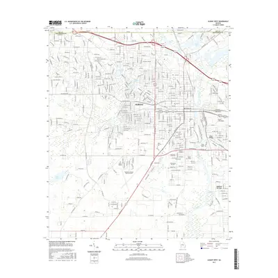
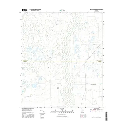
Editions of this 1973 Pretoria Map
2 editions found
Historical Maps of Albany Through Time
37 maps found
1956 Albany East
Dougherty County, GA
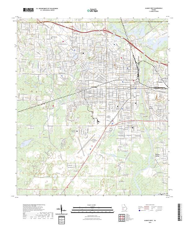
1956 Albany West
Dougherty County, GA
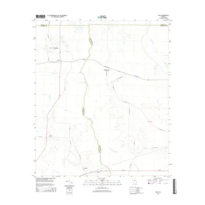
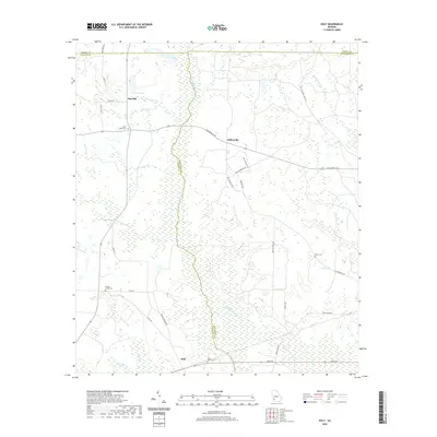
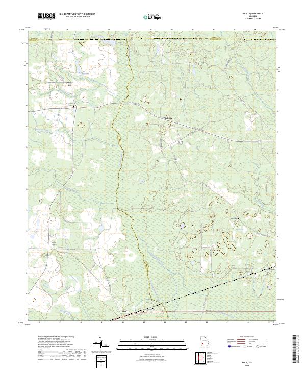
1973 Holt
Dougherty County, GA
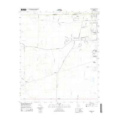
1973 Pretoria
Dougherty County, GA
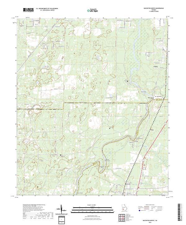
1974 Baconton North
Dougherty County, GA
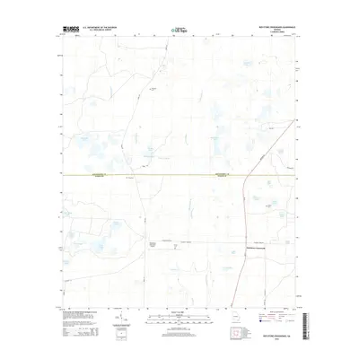
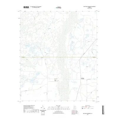
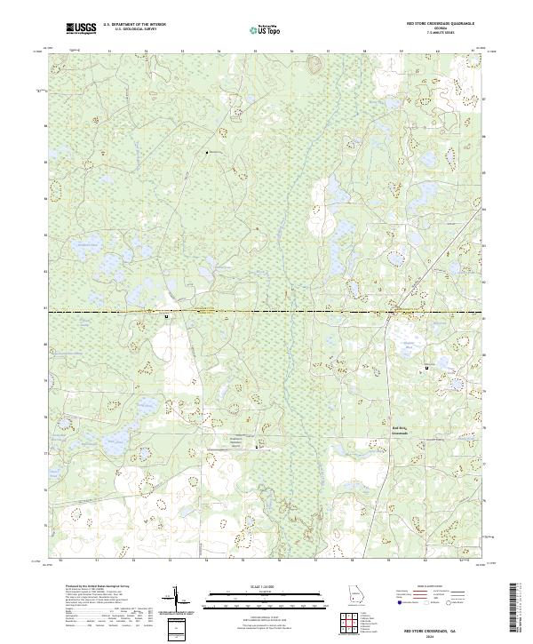
1974 Red Store Crossroads
Dougherty County, GA
1997 Albany West
Dougherty County, GA
2011 Albany East
Dougherty County, GA
2011 Albany West
Dougherty County, GA
2011 Baconton North
Dougherty County, GA
2011 Holt
Dougherty County, GA
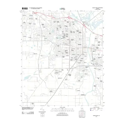
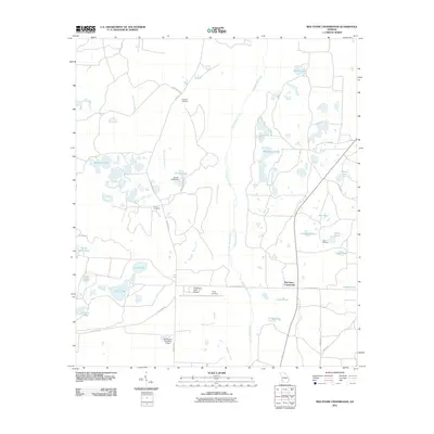
2011 Pretoria
Dougherty County, GA
2011 Red Store Crossroads
Dougherty County, GA
2014 Albany East
Dougherty County, GA
2014 Albany West
Dougherty County, GA
2014 Baconton North
Dougherty County, GA
2014 Holt
Dougherty County, GA
2014 Pretoria
Dougherty County, GA
2014 Red Store Crossroads
Dougherty County, GA
2017 Albany East
Dougherty County, GA
2017 Albany West
Dougherty County, GA
2017 Baconton North
Dougherty County, GA
2017 Holt
Dougherty County, GA
2017 Pretoria
Dougherty County, GA
2017 Red Store Crossroads
Dougherty County, GA
2020 Albany East
Dougherty County, GA
2020 Albany West
Dougherty County, GA
2020 Baconton North
Dougherty County, GA
2020 Holt
Dougherty County, GA
2020 Pretoria
Dougherty County, GA
2020 Red Store Crossroads
Dougherty County, GA

2024 Albany East
Dougherty County, GA
2024 Albany West
Dougherty County, GA
2024 Baconton North
Dougherty County, GA
2024 Holt
Dougherty County, GA
2024 Pretoria
Dougherty County, GA
2024 Red Store Crossroads
Dougherty County, GA