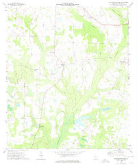
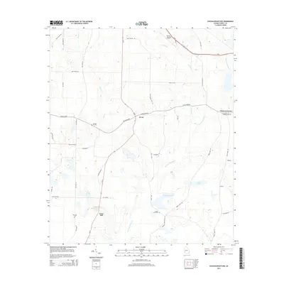
1973 Map of Chickasawhatchee
USGS Topo · Published 1974About this map
Chickasawhatchee Creek winds through the agricultural landscape of Terrell County, defining a region where small rural communities and family-named landmarks are central to the terrain. The small settlement of Herod sits at the intersection of local roads, while the presence of Clarks Mill further south suggests the historical importance of water-driven industry in the area's development. Cultural life is anchored by a significant density of country churches and burial grounds, including Zion Hill Ch, Mountain Grove Ch, and Houston Grove Ch, many of which remain vital touchstones for family historians and genealogists.
Find a feature on this map
23 named features on this map. Tap any name to fly to it.
Don’t see what you’re looking for? This feature index may not catch every label — zoom into the map to look around manually.
Map Details
Editions of this 1973 Chickasawhatchee Map
This is the sole edition of this map. No revisions or reprints were ever made.
Historical Maps of Chickasawhatchee Through Time
12 maps found
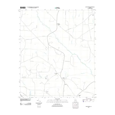
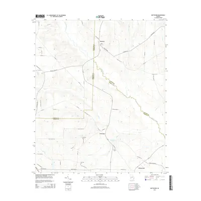
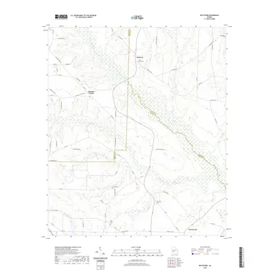
1973 Bottsford
Terrell County, GA
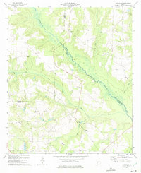
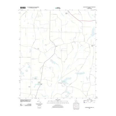
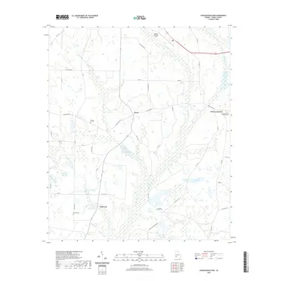
1973 Chickasawhatchee
Terrell County, GA
2011 Bottsford
Terrell County, GA
2011 Chickasawhatchee
Terrell County, GA
2014 Bottsford
Terrell County, GA
2014 Chickasawhatchee
Terrell County, GA
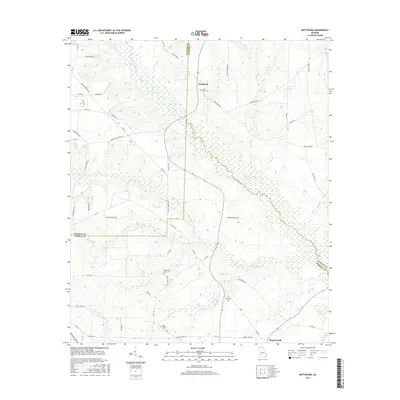
2017 Bottsford
Terrell County, GA
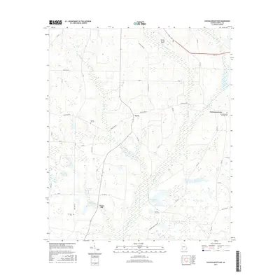
2017 Chickasawhatchee
Terrell County, GA
2020 Bottsford
Terrell County, GA
2020 Chickasawhatchee
Terrell County, GA
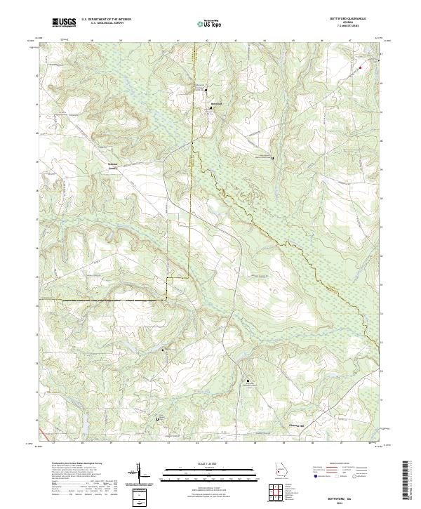
2024 Bottsford
Terrell County, GA
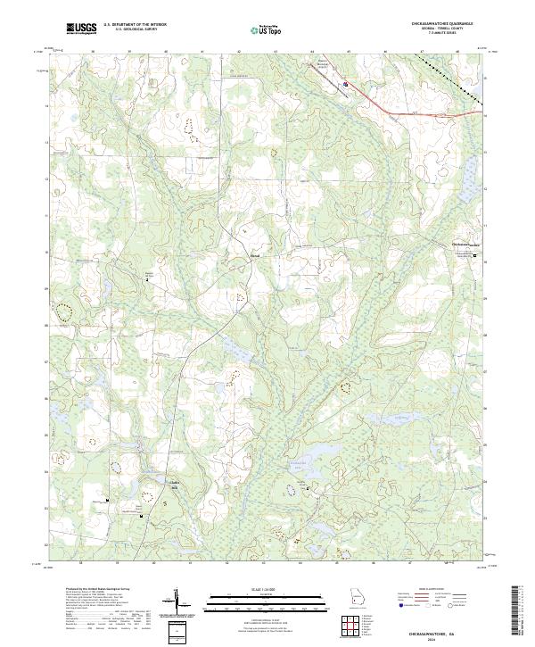
2024 Chickasawhatchee
Terrell County, GA