Loading...
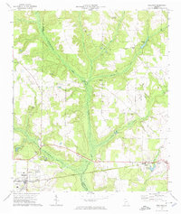
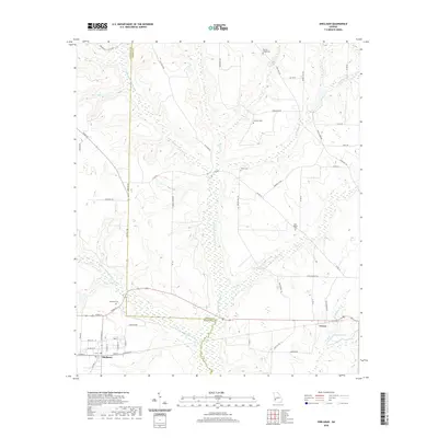
Loading map...1972 Map of Shellman
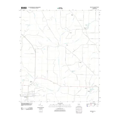
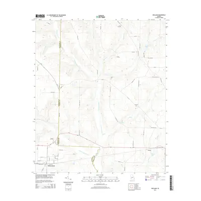
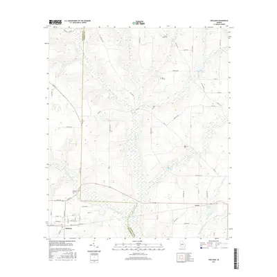
USGS Topo · Published 1974About this map
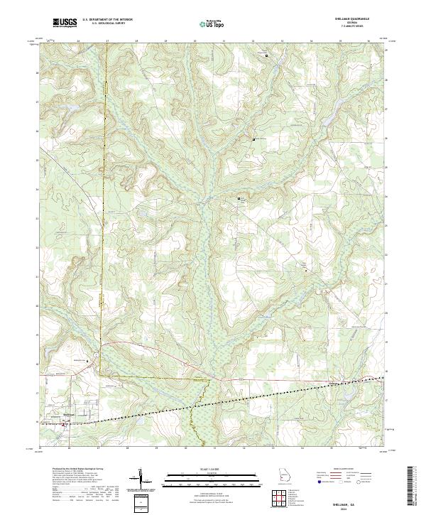
The Central of Georgia railroad corridor anchors the southern landscape of this 1970s survey, connecting the agricultural hub of Shellman with the smaller community of Graves. The terrain is defined by the dendritic drainage patterns of Ichawaynochaway Creek and its many tributaries, including Turkey Creek and Chenube Creek, which carve deep contours into the rural farmland.
Find a feature on this map
35 named features on this map. Tap any name to fly to it.
Don’t see what you’re looking for? This feature index may not catch every label — zoom into the map to look around manually.
Map Details
Date Portrayed1972
Date Published1974
PublisherU.S. Geological Survey
Map TypeTopographic
Scale1:24,000
Physical Dimensions22.8 x 26.9 inches
Editions of this 1972 Shellman Map
This is the sole edition of this map. No revisions or reprints were ever made.
Historical Maps of Shellman Through Time
6 maps found
Featured Locations
Source Details
SourceU.S. Geological Survey
CopyrightPublic Domain