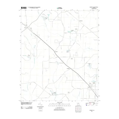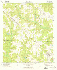
1972 Map of Parrott
USGS Topo · Published 1974About this map
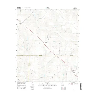
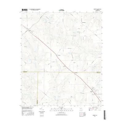
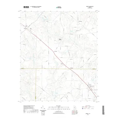
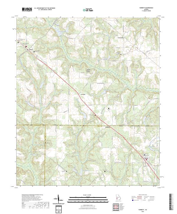
The Seaboard Coast Line railroad serves as the primary corridor through this Southwest Georgia landscape, linking the communities of Weston, Leveretts, Chambliss, and Parrott. This 1970s survey captures a rural network of churches and local water features at the intersection of Webster, Randolph, and Terrell Counties. Distinctive community landmarks like the Greenfield Academy near Weston and Turner Chapel indicate the social hubs of the era, while the topography is defined by the drainage of Ichawaynochaway Creek and Turkey Creek.
Find a feature on this map
28 named features on this map. Tap any name to fly to it.
Don’t see what you’re looking for? This feature index may not catch every label — zoom into the map to look around manually.
Map Details
Editions of this 1972 Parrott Map
This is the sole edition of this map. No revisions or reprints were ever made.
Historical Maps of Parrott Through Time
6 maps found