Loading...
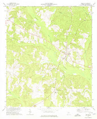
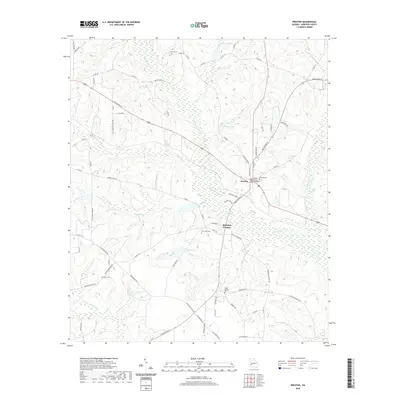
Loading map...1972 Map of Preston
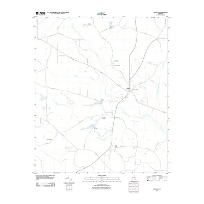
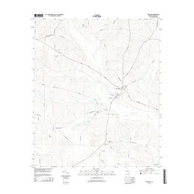
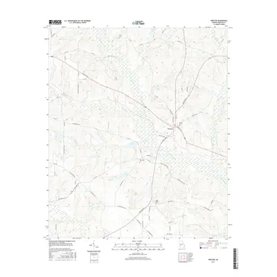
USGS Topo · Published 1974About this map
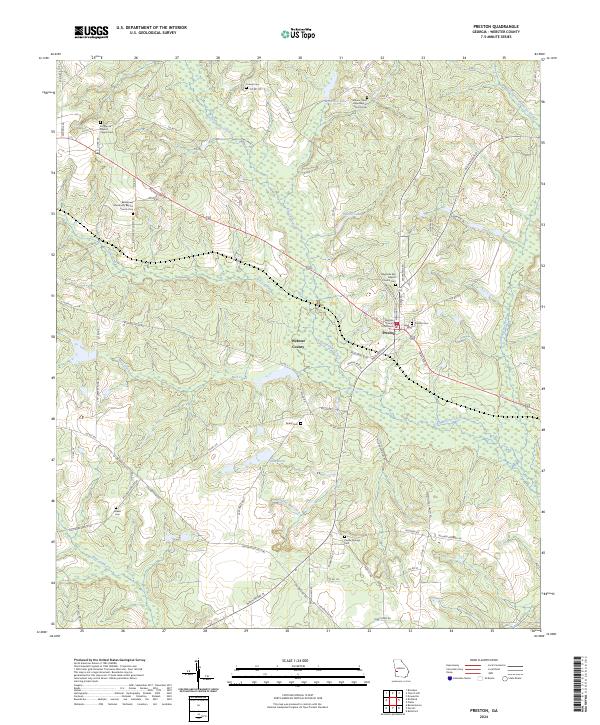
Preston serves as the focal point of this rural Webster County landscape, situated at the junction of the Seaboard Coast Line and state highways. The settlement pattern is deeply rooted in local congregational and family history, evidenced by a high density of rural churches and burial grounds such as Bethlehem Ch, Enterprise Cem, and Poplar Springs Cem scattered across the undulating terrain.
Find a feature on this map
27 named features on this map. Tap any name to fly to it.
Don’t see what you’re looking for? This feature index may not catch every label — zoom into the map to look around manually.
Map Details
Date Portrayed1972
Date Published1974
PublisherU.S. Geological Survey
Map TypeTopographic
Scale1:24,000
Physical Dimensions22 x 27 inches
Editions of this 1972 Preston Map
This is the sole edition of this map. No revisions or reprints were ever made.
Historical Maps of Preston Through Time
6 maps found
Featured Locations
Source Details
SourceU.S. Geological Survey
CopyrightPublic Domain