
1973 Map of Dawson
USGS Topo · Published 1975About this map
Dawson serves as the focal point of this Terrell County landscape, where the Seaboard Coast Line and Central of Georgia railroads intersect. The town's mid-century layout is detailed down to civic landmarks like the City Hall, County Hospital, and County High School, while its agricultural identity is anchored by the National Peanut Research Laboratory. Just north of the main settlement, the Chenube Indian Village Mon near Chenube Creek marks a historical site of even deeper vintage.
Find a feature on this map
55 named features on this map. Tap any name to fly to it.
Don’t see what you’re looking for? This feature index may not catch every label — zoom into the map to look around manually.
Map Details
Editions of this 1973 Dawson Map
This is the sole edition of this map. No revisions or reprints were ever made.
Other maps of this area

1953 · Dothan
USGS Topo · 1:250,000

1954 · Dothan
USGS Topo · 1:250,000

1955 · Dothan
USGS Topo · 1:250,000

1956 · Sasser
USGS Topo · 1:62,500

1972 · Parrott
USGS Topo · 1:24,000

1972 · Shellman
USGS Topo · 1:24,000

1973 · Chickasawhatchee
USGS Topo · 1:24,000

1973 · Sasser
USGS Topo · 1:24,000
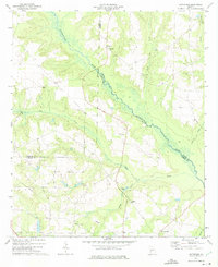
1973 · Bottsford
USGS Topo · 1:24,000
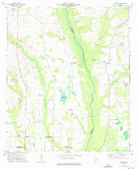
1973 · Doverel
USGS Topo · 1:24,000