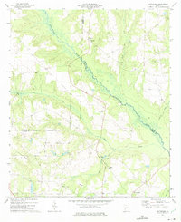
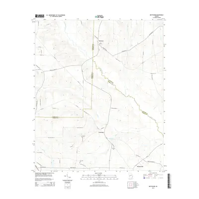
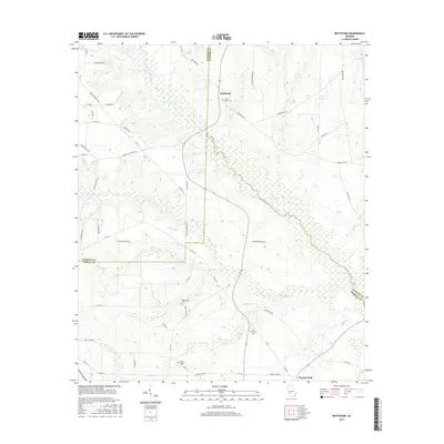
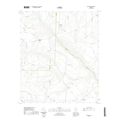
1973 Map of Bottsford
USGS Topo · Published 1975About this map
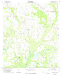
Kinchahoonee Creek dominates the lowlands of this West Georgia landscape, where the borders of Webster, Sumter, and Terrell counties converge. In the early 1970s, the area remained deeply rural, defined by a network of dispersed country churches and small farming communities such as Bottsford and Pleasant Hill. The topographical data reveals a transition from the upland ridges, where settlements like St Marks Ch are situated, down to the wetlands surrounding the creek and its tributaries like Ty Ty Creek and Bear Creek.
Find a feature on this map
24 named features on this map. Tap any name to fly to it.
Don’t see what you’re looking for? This feature index may not catch every label — zoom into the map to look around manually.
Map Details
Editions of this 1973 Bottsford Map
This is the sole edition of this map. No revisions or reprints were ever made.
Historical Maps of Bottsford Through Time
12 maps found
1973 Bottsford
Terrell County, GA
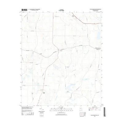
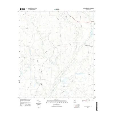
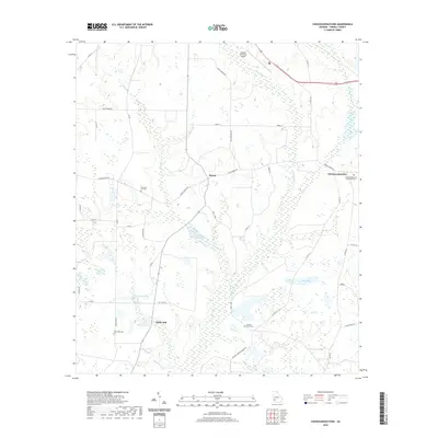
1973 Chickasawhatchee
Terrell County, GA
2011 Bottsford
Terrell County, GA
2011 Chickasawhatchee
Terrell County, GA
2014 Bottsford
Terrell County, GA
2014 Chickasawhatchee
Terrell County, GA
2017 Bottsford
Terrell County, GA
2017 Chickasawhatchee
Terrell County, GA
2020 Bottsford
Terrell County, GA
2020 Chickasawhatchee
Terrell County, GA
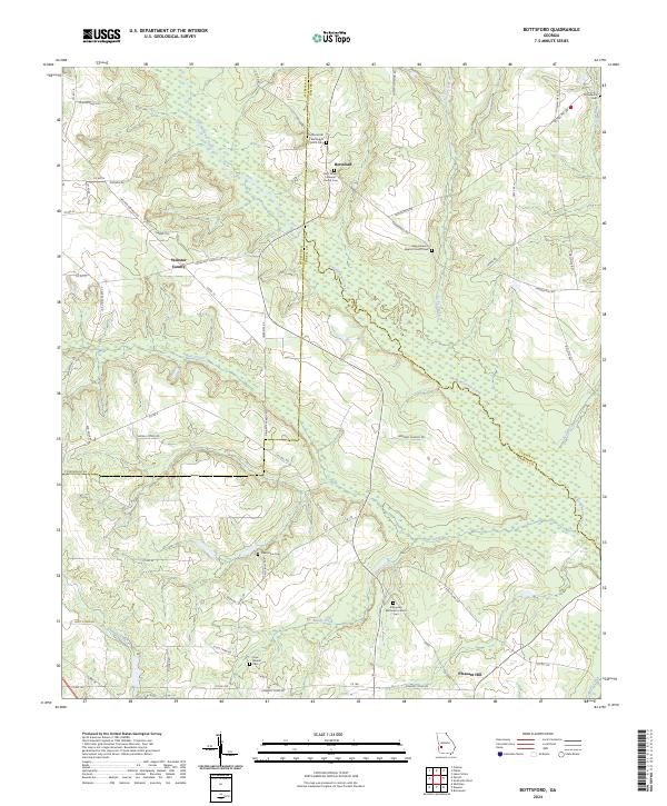
2024 Bottsford
Terrell County, GA
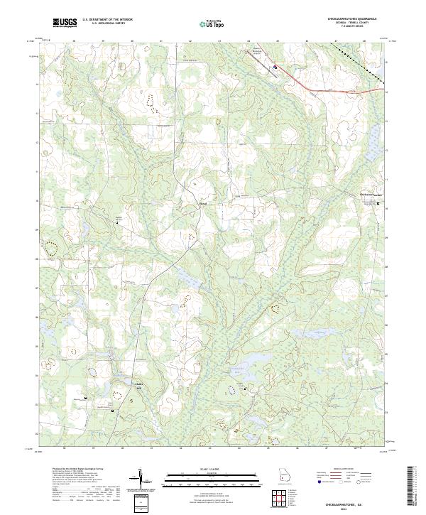
2024 Chickasawhatchee
Terrell County, GA