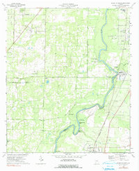
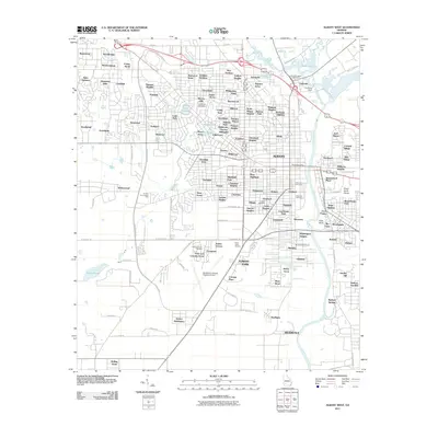
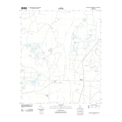
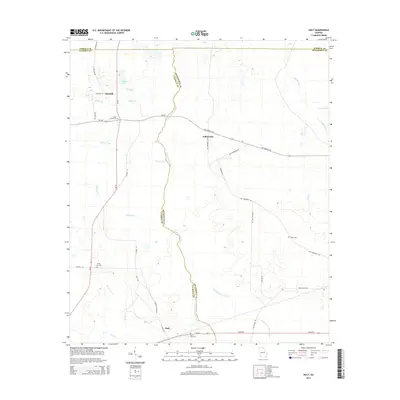
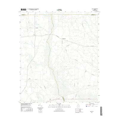
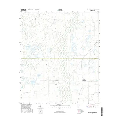
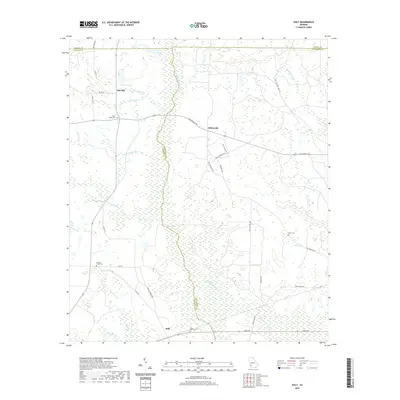
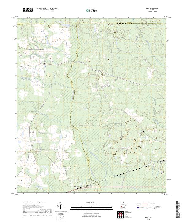
1973 Map of Holt
USGS Topo · Published 1975About this map
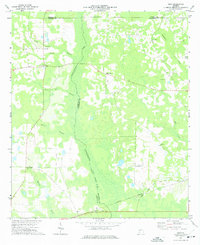
Chickasawhatchee Creek bisects this rural landscape at the junction of Calhoun, Dougherty, and Terrell Counties, marking an Indefinite Boundary through dense bottomlands. The early 1970s environment is characterized by a network of agricultural lands and wetlands, punctuated by several community focal points like Gillionville and Holt. Near the southern edge, the Central of Georgia railroad corridor runs parallel to a Radio Tower and St Paul Ch.
Find a feature on this map
25 named features on this map. Tap any name to fly to it.
Don’t see what you’re looking for? This feature index may not catch every label — zoom into the map to look around manually.
Map Details
Editions of this 1973 Holt Map
This is the sole edition of this map. No revisions or reprints were ever made.
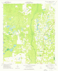
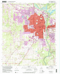
Historical Maps of Oak Hill Through Time
37 maps found
1956 Albany East
Dougherty County, GA
1956 Albany West
Dougherty County, GA
1973 Holt
Dougherty County, GA
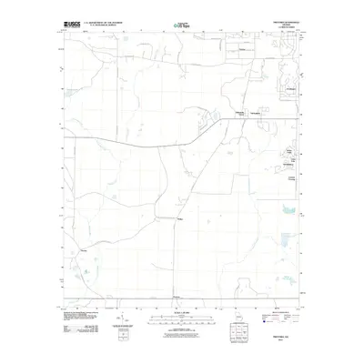
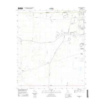
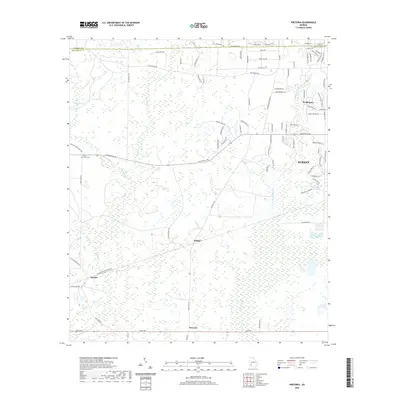
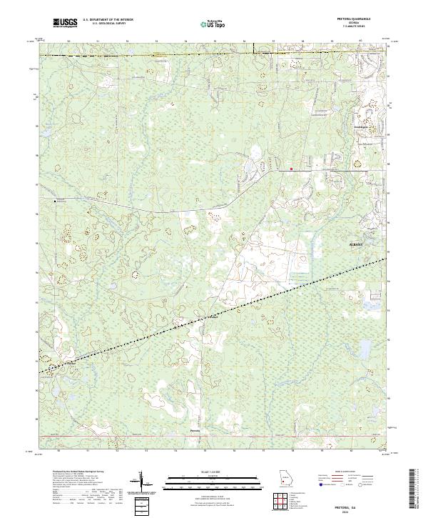
1973 Pretoria
Dougherty County, GA
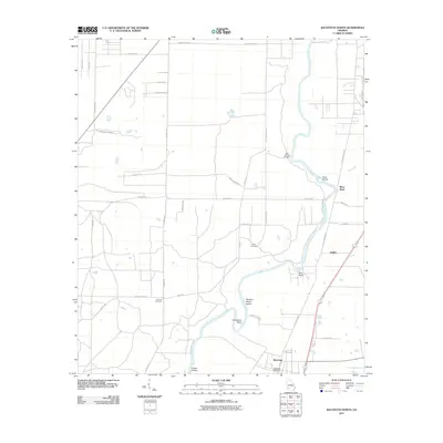
1974 Baconton North
Dougherty County, GA
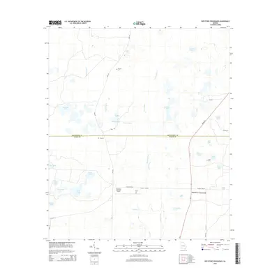
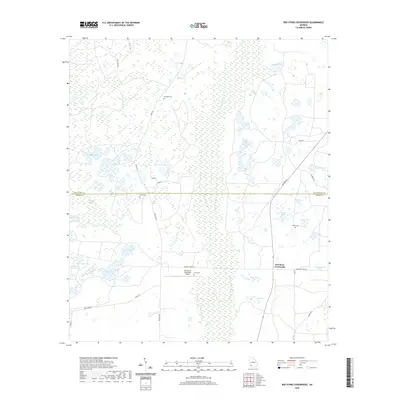
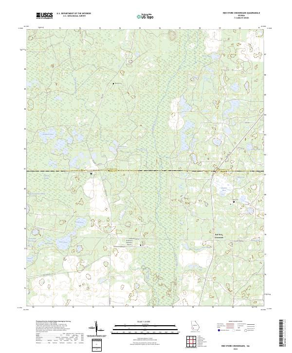
1974 Red Store Crossroads
Dougherty County, GA
1997 Albany West
Dougherty County, GA
2011 Albany East
Dougherty County, GA
2011 Albany West
Dougherty County, GA
2011 Baconton North
Dougherty County, GA
2011 Holt
Dougherty County, GA
2011 Pretoria
Dougherty County, GA
2011 Red Store Crossroads
Dougherty County, GA
2014 Albany East
Dougherty County, GA
2014 Albany West
Dougherty County, GA
2014 Baconton North
Dougherty County, GA
2014 Holt
Dougherty County, GA
2014 Pretoria
Dougherty County, GA
2014 Red Store Crossroads
Dougherty County, GA
2017 Albany East
Dougherty County, GA
2017 Albany West
Dougherty County, GA
2017 Baconton North
Dougherty County, GA
2017 Holt
Dougherty County, GA
2017 Pretoria
Dougherty County, GA
2017 Red Store Crossroads
Dougherty County, GA
2020 Albany East
Dougherty County, GA
2020 Albany West
Dougherty County, GA
2020 Baconton North
Dougherty County, GA
2020 Holt
Dougherty County, GA
2020 Pretoria
Dougherty County, GA
2020 Red Store Crossroads
Dougherty County, GA

2024 Albany East
Dougherty County, GA
2024 Albany West
Dougherty County, GA
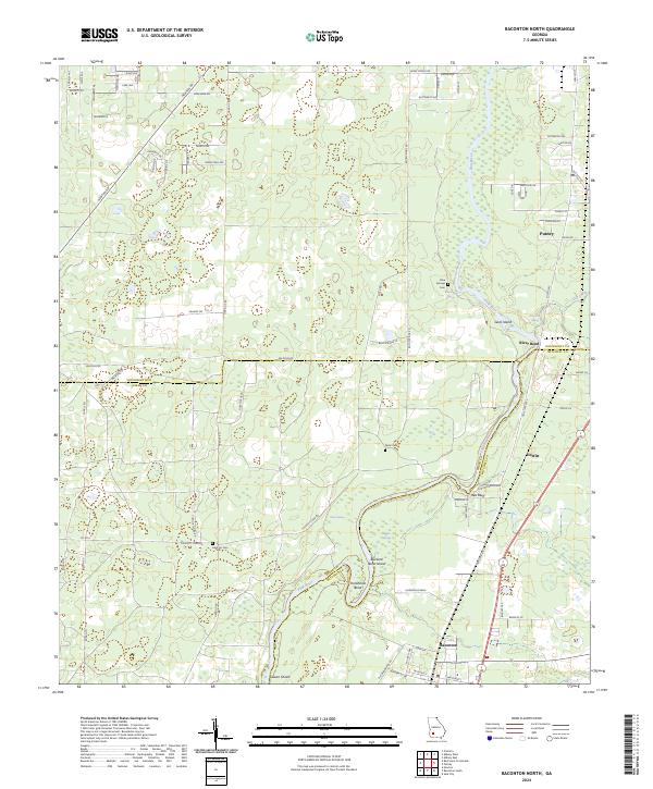
2024 Baconton North
Dougherty County, GA
2024 Holt
Dougherty County, GA
2024 Pretoria
Dougherty County, GA
2024 Red Store Crossroads
Dougherty County, GA