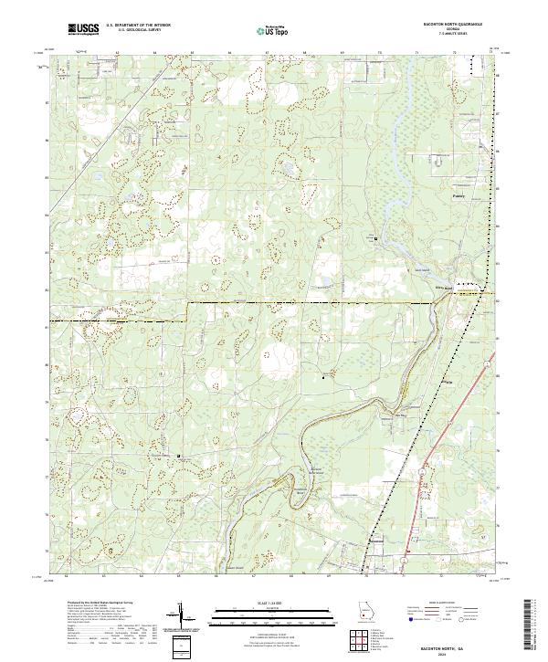
2024 Map of Baconton North
USGS Topo · Published 2024About this map
The Flint River carves a winding path through this agricultural landscape, marking the complex intersection of Dougherty, Baker, and Mitchell counties. This rural corridor is defined by its water sources, including numerous named springs such as Wilson Blue Spring, Berry Spring, and Miller Springs that feed into the river's basin. The terrain is characterized by river features like Goat Island and the prominent Horseshoe Bend, where the river's loop creates a distinct peninsula. Smaller communities and rural crossroads like Baconton, Putney, and DeWitt are connected by a network of local routes including Newton Rd and Colquitt Rd. For those tracing local family history, several small burial grounds are documented across the landscape, notably Hard Up Cem, Blue Springs Cem, and Davis Cem, providing valuable points of reference for genealogical research in this part of Georgia.
Find a feature on this map
85 named features on this map. Tap any name to fly to it.
Don’t see what you’re looking for? This feature index may not catch every label — zoom into the map to look around manually.
Map Details
Editions of this 2024 Baconton North Map
This is the sole edition of this map. No revisions or reprints were ever made.
Other maps of this area

1953 · Dothan
USGS Topo · 1:250,000

1954 · Dothan
USGS Topo · 1:250,000

1955 · Dothan
USGS Topo · 1:250,000

1956 · Albany East
USGS Topo · 1:24,000

1956 · Albany West
USGS Topo · 1:24,000

1956 · Baconton
USGS Topo · 1:62,500

1956 · Newton
USGS Topo · 1:62,500

1956 · Sasser
USGS Topo · 1:62,500

1956 · Albany
USGS Topo · 1:62,500

1973 · Pretoria
USGS Topo · 1:24,000