Old Maps of Putney, Georgia for Academic Research
Study the evolution of Putney with 25 high-resolution historic maps. Whether you're teaching, researching, or modeling changes in land use, these maps provide essential visual documentation of urban, environmental, and geographic change.
- Analyze long-term change: Track patterns in development, transportation, and natural features.
- Ideal for environmental or urban studies: Support academic projects with primary historical map data.
- Use in the classroom or lab: Educators and researchers rely on these maps to bring historical context to life.
These maps are a powerful tool for teaching, research, and visualizing how Putney has changed over the decades.
Putney, GA maps
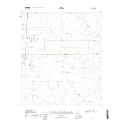
(25)- 1953 Map of Dothan, 1966 Print
 1953 Dothan1966 Print · USGSSoutheast Alabama and Southwest Georgia are captured during a period of massive hydraulic and military expansion in the mid-fifties. Genealogists and historians can trace rural landmarks like Antioch Church and School, the Andrew Jackson Monument, and the early footprint of Fort Rucker Military Reservation.3 unique versions available
 - 1954 Map of Dothan
 1954 Dothan1954 Print · USGSSoutheast Alabama and Southwest Georgia are seen here in the mid-fifties, during a decade of military expansion and rural transition. Genealogists can trace the location of country schools like Little Zion School or the grounds of Kolomoki Mounds State Park.
 - 1955 Map of Dothan
 1955 Dothan1955 Print · USGSSoutheast Alabama and Southwest Georgia are captured here in the mid-fifties, showing a landscape of river-port history and growing military bases. Researchers can trace rural life via the Andrew Jackson Monument, Bauxite mines, and the Central of Georgia RR.
 - 1956 Map of Albany East, 1957 Print
 1956 Albany East1957 Print · USGSDougherty County was undergoing a major military expansion in the mid-fifties, seen here through the sprawling grounds of Turner Air Force Base. Researchers can trace old family-named churches like Mercer Grove Ch and the crossroads at Pecan City.4 unique versions available
 - 1956 Map of Baconton, 1957 Print
 1956 Baconton1957 Print · USGSMitchell and Dougherty counties in the mid-fifties are defined by the winding Flint River and a dense network of rural rail lines. Researchers can trace genealogical roots through dozens of local landmarks like Noahs Ark Ch, Hard Up Cem, and Sale City.2 unique versions available
 - 1956 Map of Albany, 1958 Print
 1956 Albany1958 Print · USGSMid-century Albany and the Flint River valley are captured here just as the Cold War military footprint was expanding. Genealogists can trace family landmarks like Radium Springs, the Turner Air Force Base, and Pecan City.2 unique versions available
 - 1974 Map of Putney, 1976 Print
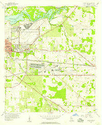
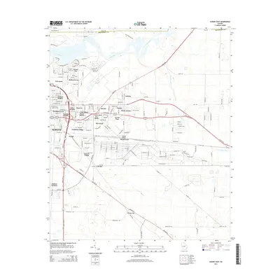
 1974 Putney1976 Print · USGSDougherty and Mitchell counties appear here in the mid-seventies, showing a landscape of traditional crossroads and rail-side growth. Researchers can trace rural lineages through numerous country churches like Mt Calvary Ch and New Salem Ch, or follow the historic Stagecoach Road.2 unique versions available
 - 1974 Map of Baconton North, 1976 Print
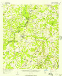
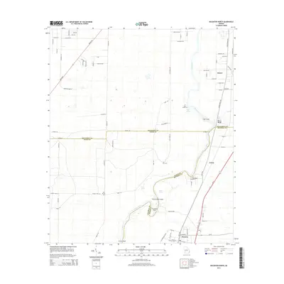
 1974 Baconton North1976 Print · USGSThe Flint River basin in the mid-1970s reveals a landscape of river-bend settlements and deep-rooted rural communities. Family historians can trace landmarks like Hard Up Cem, Pleasant Grove Ch, and the rail corridor serving Putney and Baconton.2 unique versions available
 - 1981 Map of Camilla, 1982 Print
 1981 Camilla1982 Print · USGSSouthwest Georgia in the early 1980s is defined by the winding Flint River and the ancient legacy of Kolomoki Mounds State Park. Researchers can trace the agricultural and rail economy through junctions like Blakely, Pelham, and the rail lines of the Central of Georgia.2 unique versions available
 - 1981 Map of Albany, 1982 Print
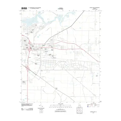
 1981 Albany1982 Print · USGSSouthwest Georgia in the early eighties was a region defined by its rail hubs and winding river systems. Here you can trace the agricultural landscape from Albany to Dawson, locating sites like Radium Springs, the U S Naval Reservation, and the historic junction at Shellman.
 - 2011 Map of Baconton North, 2011 Print
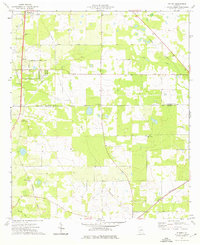
 2011 Baconton North2011 Print · USGSCovers Putney, including Baconton, River Bend, and other nearby areas
 - 2011 Map of Putney, 2011 Print
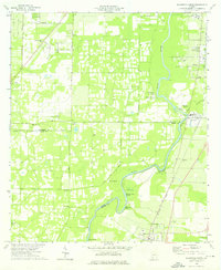
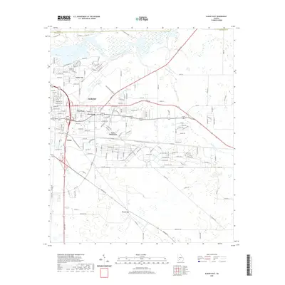
 2011 Putney2011 Print · USGSCovers Putney, including Hollands Folly, Williamsburg, and other nearby areas
 - 2011 Map of Albany East, 2011 Print
 2011 Albany East2011 Print · USGSCovers Putney, including Albany, Stroms, and other nearby areas
 - 2014 Map of Putney, 2014 Print
 2014 Putney2014 Print · USGSCovers Putney, including Hollands Folly, Williamsburg, and other nearby areas
 - 2014 Map of Albany East, 2014 Print
 2014 Albany East2014 Print · USGSCovers Putney, including Albany, Stroms, and other nearby areas
 - 2014 Map of Baconton North, 2014 Print
 2014 Baconton North2014 Print · USGSCovers Putney, including Baconton, River Bend, and other nearby areas
 - 2017 Map of Baconton North, 2017 Print
 2017 Baconton North2017 Print · USGSCovers Putney, including Baconton, River Bend, and other nearby areas
 - 2017 Map of Putney, 2017 Print
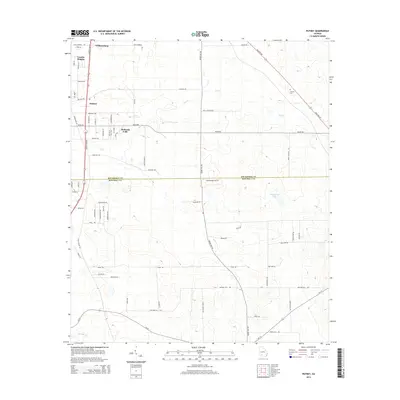
 2017 Putney2017 Print · USGSCovers Putney, including Hollands Folly, Williamsburg, and other nearby areas
 - 2017 Map of Albany East, 2017 Print
 2017 Albany East2017 Print · USGSCovers Putney, including Albany, Stroms, and other nearby areas
 - 2020 Map of Baconton North, 2020 Print
 2020 Baconton North2020 Print · USGSCovers Putney, including Baconton, River Bend, and other nearby areas
 - 2020 Map of Putney, 2020 Print
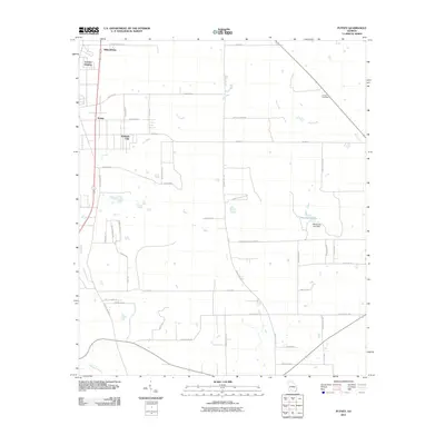
 2020 Putney2020 Print · USGSCovers Putney, including Hollands Folly, Williamsburg, and other nearby areas
 - 2020 Map of Albany East, 2020 Print
 2020 Albany East2020 Print · USGSCovers Putney, including Albany, Stroms, and other nearby areas
 - 2024 Map of Putney, 2024 Print
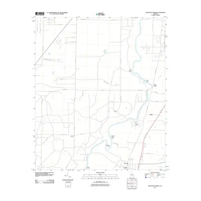
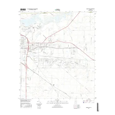
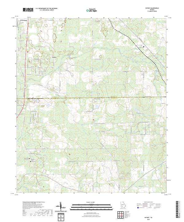 2024 Putney2024 Print · USGSDougherty and Mitchell counties are captured in this recent survey, showcasing the southern Georgia landscape between Williamsburg and Putney. Genealogists can trace family connections through the Mount Enon Church Cem and Antioch Cem near Weatherby Lake.
 - 2024 Map of Baconton North, 2024 Print
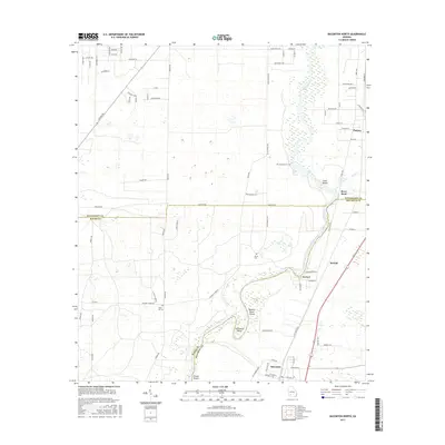
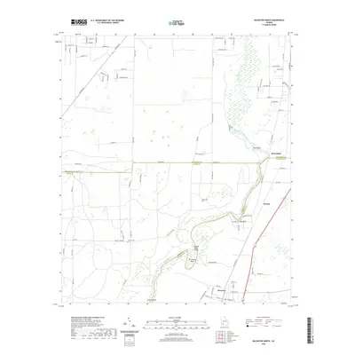
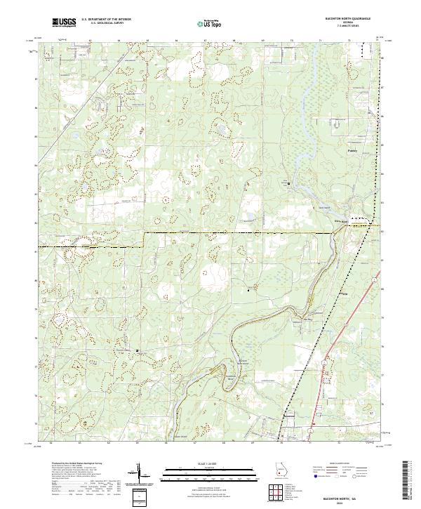 2024 Baconton North2024 Print · USGSSouthwest Georgia's river country comes into focus in this contemporary survey of the Dougherty and Mitchell county border. Genealogists and local historians can locate family burial sites like Hard Up Cem and trace the winding course of the Flint River past Red Bluff and Putney.
 - 2024 Map of Albany East, 2024 Print
 2024 Albany East2024 Print · USGSThe Dougherty County landscape is shown in its contemporary form, where the Flint River meets industrial and military hubs. Trace the layout of MCLB Albany or locate family sites near Shiloh Missionary Baptist Church Cem and Putney.
End of results
Showing maps 1-25 of 25
Top cities near Putney
- Albany historical maps
- Camilla historical maps
- Baconton historical maps
- Newton historical maps
- Doerun historical maps
- Sale City historical maps
Top neighborhoods of Putney
- Hollands Folly historical maps
- Williamsburg historical maps
- River Bend historical maps
- Loretta Heights historical maps
Frequently asked questions
- What are the different types of historical maps available for Putney?
- What is the oldest map of Putney?
- Where can I purchase historical maps of Putney for my home or office?
- Where can I download high-res historical maps of Putney?
- Are there historical topographic maps available for Putney?
- Is there historical aerial imagery available for Putney?
- Where are historical maps of Putney sourced from?