Old Maps of Fayette County, Georgia
Explore 57 old maps of Fayette County, spanning from 1888 to today. These high-resolution historic maps reveal how streets, neighborhoods, landmarks, and natural features evolved over time — perfect for genealogy, metal detecting, research, and local history exploration.
What you can do with these maps:
- See how Fayette County changed over time: Compare historical maps to modern-day views to trace roads, homesites, rail lines & more.
- View detailed metadata: Each map includes creators, publishers, year, scale, and archive source.
- Overlay maps with satellite & LiDAR: Visualize the past alongside modern tools to explore terrain & human change.
- Trusted historical sources: Maps sourced from the USGS, Library of Congress, and other archives.
- Access maps your way: View online, download high-res files, or order prints for personal or research use.
Start exploring old maps of Fayette County to uncover forgotten places, hidden landmarks, and the deep history beneath your feet.
Fayette County, GA maps
(57)- 1888 Map of Atlanta, 1955 Print
 1888 Atlanta1955 Print · USGSAtlanta and its surrounding counties emerge as a booming rail hub in the years following the Civil War. Trace early settlements and infrastructure like Jett Ferry, Oakley Mill, and the massive granite profile of Stone Mountain before the era of modern sprawl.
 - 1890 Map of Atlanta
 1890 Atlanta1890 Print · USGSGeorgia's rail and river networks converge in the late nineteenth century as the capital city expands. Genealogists can trace family homesteads near Jetts Store, Howells Mills, and the various river crossings like Paces Ferry.
 - 1891 Map of Marietta
 1891 Marietta1891 Print · USGSNorth Georgia at the close of the nineteenth century is captured here as the railroad began to reshape the river-dependent landscape. Genealogists can locate family-named landmarks like Allens Mills or trace historic river crossings at Campbellton Fy and Hutchinsons Ferry.
 - 1892 Map of Atlanta
 1892 Atlanta1892 Print · USGSAtlanta and its surrounding counties appear at a pivotal moment of post-war growth as the region's rail network reached maturity. Genealogists and historians can trace the foundations of modern DeKalb and Fulton counties through landmarks like Stone Mountain, Roswell Junction, and Paces Ferry.
 - 1895 Map of Atlanta
 1895 Atlanta1895 Print · USGSThe growing railroad hub of Atlanta is shown here in the late nineteenth century alongside its surrounding river ferries and emerging suburbs. Trace old family names and sites like Howell Mills, Vining Station, and Ft. McPherson.7 unique versions available
 - 1895 Map of Marietta
 1895 Marietta1895 Print · USGSNorthwest Georgia in the 1890s appears as a landscape defined by the winding Chattahoochee River and the rapid expansion of iron rails. Genealogists can trace early family-named river crossings like Morris Ferry or explore the origins of Old Villarica and Bright Star.
 - 1897 Map of Marietta
 1897 Marietta1897 Print · USGSNorthwest Georgia in the late nineteenth century was a landscape defined by river crossings and expanding rail lines. Genealogists and historians can trace defunct river crossings like Pumpkintown Ferry and old industrial sites like Daniels Mills or Beatty Switch.
 - 1901 Map of Marietta
 1901 Marietta1901 Print · USGSNorthwest Georgia at the turn of the century is a landscape of growing rail towns and vital river crossings. Researchers can trace early rural life through features like Old Villarica, Pumpkintown Ferry, and the Mount Zion Church.4 unique versions available
 - 1953 Map of Atlanta, 1965 Print
 1953 Atlanta1965 Print · USGSThe growing Atlanta metro and the industrial corridors of Eastern Alabama are captured here during the mid-century transition. Researchers can trace the rail-to-road shift through hubs like Anniston and La Grange or locate sites within Fort McClellan.2 unique versions available
 - 1954 Map of Fairburn, 1956 Print
 1954 Fairburn1956 Print · USGSFulton County and its southern neighbors show a landscape of growing rail towns and rural homesteads in the early fifties. Genealogists can trace family landmarks and community centers like Word Sch, Rock Ch, and the Harmony Grove Cem before modern development.6 unique versions available
 - 1954 Map of Riverdale, 1956 Print
 1954 Riverdale1956 Print · USGSClayton and Fulton counties are captured in the mid-fifties, showing a landscape of burgeoning towns and deep-rooted rural churches. Researchers can trace family history through Carver Memorial Park Cemetery or locate old sites like Red Oak and Kenwood.5 unique versions available
 - 1957 Map of Atlanta
 1957 Atlanta1957 Print · USGSAtlanta and the Alabama borderlands appear here in the mid-fifties, capturing the region's post-war suburban and industrial transition. Trace the development of early transport hubs and military sites like Fort McPherson, Anniston, and the Kennesaw Mountain National Battlefield Park.
 - 1958 Map of Atlanta
 1958 Atlanta1958 Print · USGSMid-century Georgia and Alabama are shown in this regional study of the corridor between the Chattahoochee River and the Appalachian foothills. Local historians can trace the development of suburban Atlanta alongside vital landmarks like Stone Mountain, Dobbins AFB, and the Seaboard Air Line rail routes.
 - 1965 Map of Tyrone, 1966 Print
 1965 Tyrone1966 Print · USGSFayette County in the mid-sixties shows a transition from rural rail-line settlements to planned suburban growth. Genealogists and historians can trace the foundations of Peachtree City near Lake Peachtree or locate old community anchors like Shake Rag and Liberty Hill Ch.2 unique versions available
 - 1965 Map of Fayetteville, 1967 Print
 1965 Fayetteville1967 Print · USGSMid-century Fayette County comes to life in this detailed survey, showing the county seat just as modern development began to reach into its rural surrounds. Genealogists and historians can trace family locations near Inman, Mundys Mill, and country churches like Lisbon Ch.3 unique versions available
 - 1965 Map of Madras, 1967 Print
 1965 Madras1967 Print · USGSCoweta County in the mid-sixties shows a landscape of growing infrastructure along the Atlanta and West Point railroad. Genealogists and local historians can trace family-named landmarks like Sullivan Lake, McCollum, and Cokes Chapel.4 unique versions available
 - 1965 Map of Senoia, 1967 Print
 1965 Senoia1967 Print · USGSMid-century Coweta and Fayette Counties come alive at the junction of two major rail lines during a period of steady local growth. Genealogists and researchers can locate family-named sites like Starrs Mill, Peeks Crossing, and rural landmarks such as Bethlehem Ch.2 unique versions available
 - 1965 Map of Brooks, 1967 Print
 1965 Brooks1967 Print · USGSIn the mid-1960s, this portion of Georgia remained a deeply rural landscape defined by the Flint River and small rail-side communities. Genealogists can trace family footprints along the Central of Georgia railroad near Rio and Vaughn.2 unique versions available
 - 1979 Map of Griffin, 1980 Print
 1979 Griffin1980 Print · USGSWest-central Georgia at the close of the seventies reveals a landscape of historic rail towns and growing suburbs between the major river systems. Trace the rail lines and early road networks connecting Griffin, Peachtree City, and Newnan, or locate smaller settlements like Senoia and Experiment.3 unique versions available
 - 1981 Map of Atlanta, 1982 Print
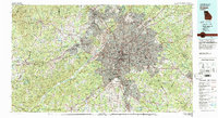 1981 Atlanta1982 Print · USGSThe Atlanta metro area is shown during its late-century boom, following the completion of the beltway and the rise of its major international airport. Trace the growth of suburbs from Mableton to Tucker and the footprints of Fort McPherson and Stone Mtn.
 - 1993 Map of Riverdale, 1995 Print
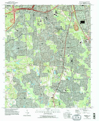 1993 Riverdale1995 Print · USGSThe south Atlanta suburbs of Clayton and Fulton counties are shown during a phase of rapid residential growth in the 1990s. Genealogists and local historians can trace neighborhood developments alongside longtime landmarks like Philadelphia Ch and the Mundy Cem.
 - 1999 Map of Fairburn, 2002 Print
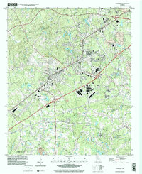 1999 Fairburn2002 Print · USGSThe growing suburbs of southwest Atlanta are captured here at the end of the century, showing the expansion of Fairburn and Union City. Trace the local history of Fife and Red Oak, or locate family sites near Harmony Grove Cem and Shadnor Ch.
 - 2011 Map of Fairburn, 2011 Print
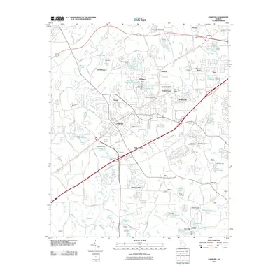 2011 Fairburn2011 Print · USGSSouth of Atlanta in the early twenty-first century, this area shows the rapid development of UNION CITY and FAIRBURN. Researchers can trace local heritage through several family and community burial grounds like Eason Cemetery and The Rock Cemetery.
 - 2011 Map of Senoia, 2011 Print
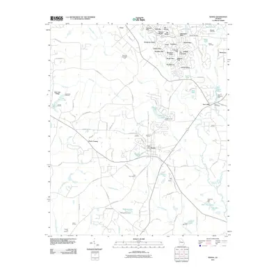 2011 Senoia2011 Print · USGSSenoia and the surrounding Georgia countryside are captured here in a period of significant suburban expansion. Researchers can locate numerous family burial sites like Neriah Cemetery and Tranquil Cemetery, or trace the historical infrastructure at Starrs Mill and Peeks Crossing.
 - 2011 Map of Madras, 2011 Print
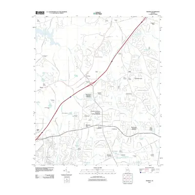 2011 Madras2011 Print · USGSCoweta County in the early twenty-first century reveals a landscape where modern subdivisions meet deep-rooted local history. Researchers can locate numerous legacy burial sites like Mount Gilead Cemetery and Cokes Chapel Cemetery, or trace industrial landmarks such as the Madras Quarry.
Showing maps 1-25 of 57
Top cities of Fayette County
- Peachtree City historical maps
- Fayetteville historical maps
- Tyrone historical maps
- Brooks historical maps
- Woolsey historical maps
Frequently asked questions
- What are the different types of historical maps available for Fayette County?
- What is the oldest map of Fayette County?
- Where can I purchase historical maps of Fayette County for my home or office?
- Where can I download high-res historical maps of Fayette County?
- Are there historical topographic maps available for Fayette County?
- Is there historical aerial imagery available for Fayette County?
- Where are historical maps of Fayette County sourced from?