2020s Maps of Fayette County, Georgia
Explore 14 historic maps of Fayette County from the 2020s. These maps offer a rare glimpse into what life looked like during the 2020s — showing old roads, neighborhoods, homes, and landmarks that have changed or disappeared over time.
Whether you're researching your family's past, planning a metal detecting trip, or studying how Fayette County's landscape evolved across the 2020s, these high-resolution maps are a powerful tool for exploring the history of this region.
- Focus on a specific era: All maps on this page are from the 2020s, giving you a focused view of this time period.
- See what’s changed: Compare century-old streets, trails, and buildings to today's modern landscape using overlays and satellite layers.
- Research with precision: Use these maps for genealogy, historical research, land use analysis, or educational projects.
- View, download, or print: Maps are fully viewable online in high resolution, and can be downloaded or printed for your own records.
Start exploring Fayette County's history through authentic maps from the 2020s. This is your window into the past.
Fayette County, GA maps
(14)- 2020 Map of Senoia, 2020 Print
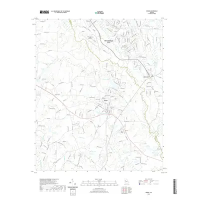 2020 Senoia2020 Print · USGSCovers Fayette County, including Peachtree City, Senoia, and other nearby areas
 - 2020 Map of Tyrone, 2020 Print
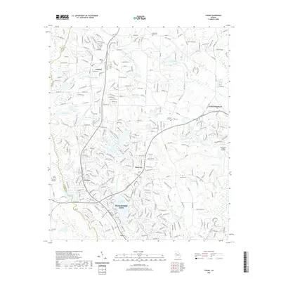 2020 Tyrone2020 Print · USGSCovers Fayette County, including Peachtree City, Fayetteville, and other nearby areas
 - 2020 Map of Riverdale, 2020 Print
 2020 Riverdale2020 Print · USGSCovers Fayette County, including Union City, Forest Park, and other nearby areas
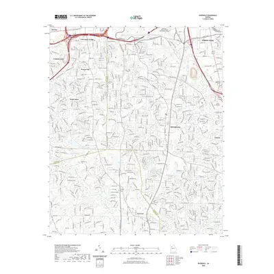
 - 2020 Map of Fairburn, 2020 Print
 2020 Fairburn2020 Print · USGSCovers Fayette County, including Union City, Fairburn, and other nearby areas
 - 2020 Map of Madras, 2020 Print
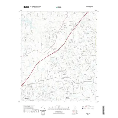 2020 Madras2020 Print · USGSCovers Fayette County, including Newnan, Peachtree City, and other nearby areas
 - 2020 Map of Brooks, 2020 Print
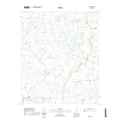 2020 Brooks2020 Print · USGSCovers Fayette County, including Brooks, Woolsey, and other nearby areas
 - 2020 Map of Fayetteville, 2020 Print
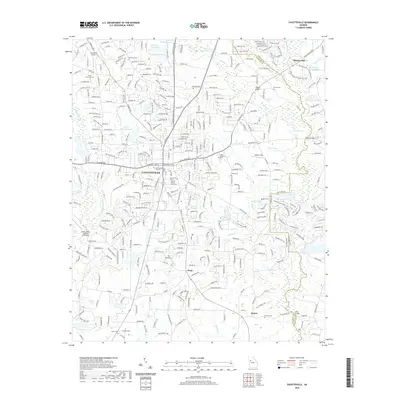 2020 Fayetteville2020 Print · USGSCovers Fayette County, including Fayetteville, Chandler Acres, and other nearby areas
 - 2024 Map of Riverdale, 2024 Print
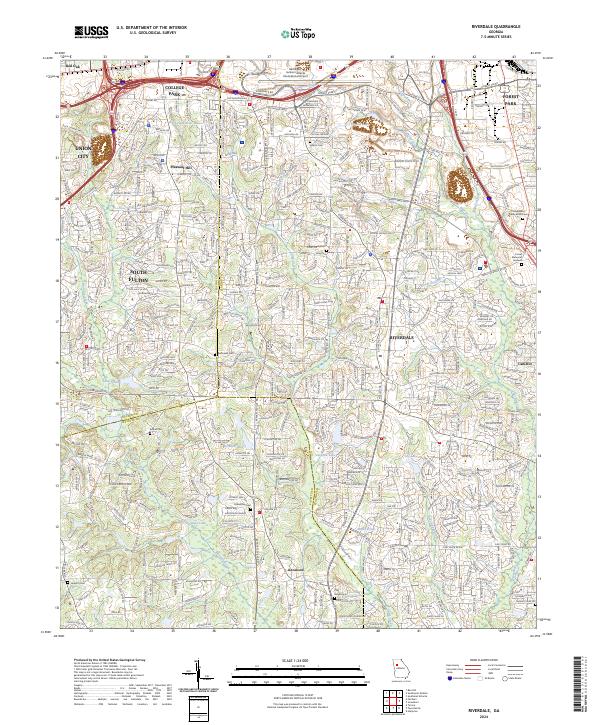 2024 Riverdale2024 Print · USGSModern Clayton and Fulton counties are documented here in the 2020s as suburban expansion surrounds historic hubs. Genealogists can trace family sites at Adams Cem, King Cem, and Philadelphia Presbyterian Cem near Riverdale.
 - 2024 Map of Fayetteville, 2024 Print
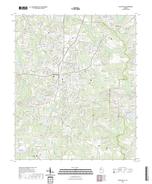 2024 Fayetteville2024 Print · USGSFayetteville and its surrounding Georgia countryside are captured here in a moment of modern residential growth and preserved local heritage. Researchers can trace family history through numerous burial sites like Lisbon Cem and Bottom Cem or explore the waterways of Nash Creek and Fowler Lake.
 - 2024 Map of Madras, 2024 Print
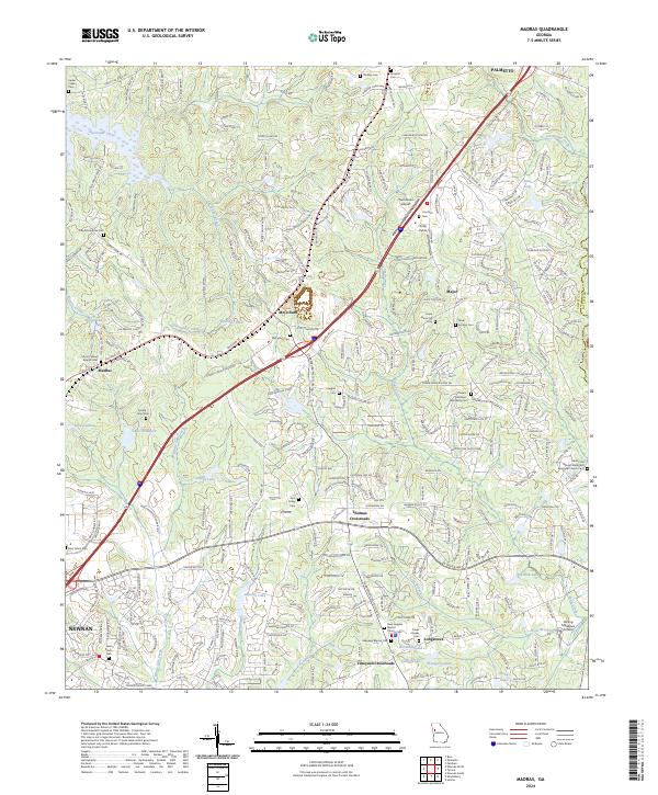 2024 Madras2024 Print · USGSNortheast of Newnan in the early 2020s, this area reveals a landscape of growing crossroads and deep-seated family history. Genealogists can trace local heritage through numerous sites like Mount Gilead Baptist Cem, McCollum Cem, and Jane Posey Cem.
 - 2024 Map of Tyrone, 2024 Print
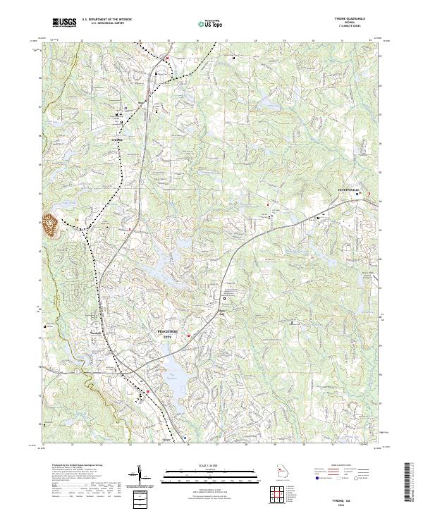 2024 Tyrone2024 Print · USGSPeachtree City and Tyrone are shown in detail during a period of modern growth in Fayette County. Genealogists can locate numerous local burial sites like Old Liberty Hill Cem and Sandy Creek Church Cem alongside developments near Lake Peachtree.
 - 2024 Map of Senoia, 2024 Print
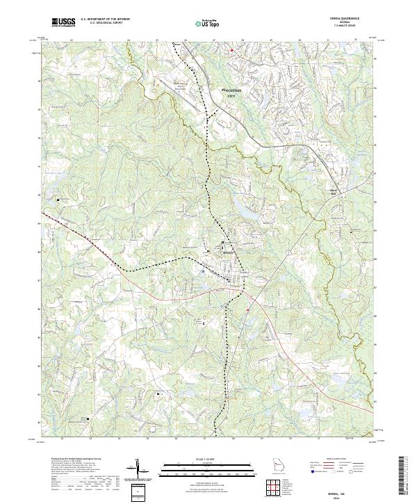 2024 Senoia2024 Print · USGSThe Coweta and Fayette county line comes alive in the mid-2020s, showing a blend of historic town centers and modern aviation hubs. Researchers can trace genealogical roots at Senoia City Cem and Neriah Cem or locate the landmark Starrs Mill along the creek.
 - 2024 Map of Brooks, 2024 Print
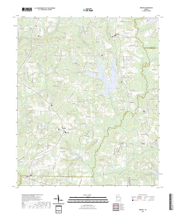 2024 Brooks2024 Print · USGSSouthern Fayette County and the outskirts of Spalding County come into focus in this contemporary study of middle Georgia. Genealogists and historians can trace family land and burial sites at Brooks City Cem, the John Bates Family Cem, and Jones Cem.
 - 2024 Map of Fairburn, 2024 Print
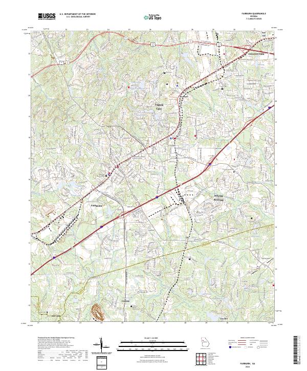 2024 Fairburn2024 Print · USGSFairburn and Union City are shown during their modern suburban development in this detailed regional survey. Genealogists can locate family landmarks like The Rock Baptist Church Cem, Red Oak Cem, and Stephens Cem near the Fayette County line.
End of results
Showing maps 1-14 of 14
Top cities of Fayette County
- Peachtree City historical maps
- Fayetteville historical maps
- Tyrone historical maps
- Brooks historical maps
- Woolsey historical maps
Frequently asked questions
- What are the different types of historical maps available for Fayette County?
- What is the oldest map of Fayette County?
- Where can I purchase historical maps of Fayette County for my home or office?
- Where can I download high-res historical maps of Fayette County?
- Are there historical topographic maps available for Fayette County?
- Is there historical aerial imagery available for Fayette County?
- Where are historical maps of Fayette County sourced from?