Old Maps of Anniedelle, Georgia for Hiking & Exploration
Hike through history with 15 historic maps of Anniedelle. Explore old trails, ghost towns, and forgotten backroads — perfect for outdoor adventurers and local explorers.
- Rediscover forgotten places: Map out old mining camps, roads, and footpaths that no longer exist on modern maps.
- Layer with modern tools: Combine with LiDAR or satellite views to plan hikes through historical terrain.
- Made for exploration: Popular among hikers, overlanders, and local history lovers.
Use these maps to find adventure and explore the hidden past of Anniedelle.
Anniedelle, GA maps
(15)- 1886 Map of Rome
 1886 Rome1886 Print · USGSNorthwest Georgia in the mid-1880s is captured as a vital junction of river navigation and emerging rail power. Genealogists and historians can trace family locations near Rome and Cedartown or find rural landmarks like Kirk's Grave and Cunningham or Agate P.O.
 - 1898 Map of Rome, 1960 Print
 1898 Rome1960 Print · USGSNorthwest Georgia in the late nineteenth century is a landscape of mountain ridges and busy river confluences. Researchers can trace historic river crossings like Perkins Ferry and the rail-side growth of Summerville, Lindale, and Rome.
 - 1899 Map of Rome
 1899 Rome1899 Print · USGSNorthwest Georgia and the Alabama border are captured in the late 1890s, when river travel and mountain gaps dictated the flow of commerce. Genealogists can trace family footprints near Miller Ferry, Raccoon Mills, and the thriving rail hub of Rome.
 - 1904 Map of Rome
 1904 Rome1904 Print · USGSNorthwest Georgia and the Alabama borderlands are captured here during a period of heavy river traffic and expanding rail lines. Genealogists can trace family footprints across dozens of river crossings like Freeman Ferry and early settlements such as Chubbtown or Raccoon Mills.4 unique versions available
 - 1955 Map of Rome
 1955 Rome1955 Print · USGSThe tri-state borderlands of Georgia, Alabama, and Tennessee appear in the mid-fifties as a landscape of ridge-and-valley industry and river navigation. Genealogists can trace family footprints near Chattanooga, the iron works of Gadsden, and textile towns like Trion or Summerville.
 - 1958 Map of Rome, 1966 Print
 1958 Rome1966 Print · USGSNorthwest Georgia and neighboring Tennessee and Alabama are captured here in the late fifties, showcasing a landscape of high ridges and river valleys. Researchers can trace historic rail lines like the Seaboard Air Line RR and explore the bounds of Cloudland Canyon State Park or Fort Oglethorpe.3 unique versions available
 - 1961 Map of Rome
 1961 Rome1961 Print · USGSNorthwest Georgia and neighboring Tennessee and Alabama are shown here at a moment of significant mid-century growth. Researchers can trace the rail networks of the Central of Georgia or locate landmarks within Chickamauga and Chattanooga Nat Military Park.
 - 1963 Map of Rome
 1963 Rome1963 Print · USGSThe tri-state corner of Georgia, Alabama, and Tennessee is captured here during a period of massive reservoir expansion and post-war growth. Genealogists and historians can trace the rail corridors of the Southern Ry or locate landmarks like Fort Oglethorpe and Cloudland Canyon State Park.
 - 1967 Map of Melson, 1969 Print
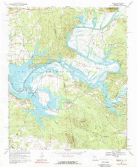 1967 Melson1969 Print · USGSThe Alabama-Georgia state line runs through this mid-century river valley as the Coosa River transforms into the Weiss Reservoir. Researchers can locate numerous family landmarks and rural institutions, including Hardman Cem, Kirks Grove, and the Old Railroad Grade.2 unique versions available
 - 1981 Map of Rome, 1982 Print
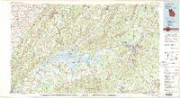 1981 Rome1982 Print · USGSNorthwest Georgia and the Alabama borderlands come into focus in the early eighties, defined by the winding Coosa River and the high ridges of Lookout Mountain. Researchers can trace the rail-and-river economy through Rome, Gadsden, and Cedartown, alongside natural landmarks like Yellow Creek Falls.2 unique versions available
 - 2011 Map of Melson, 2011 Print
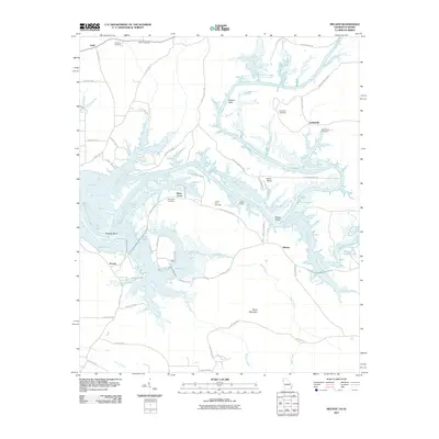 2011 Melson2011 Print · USGSThe Georgia-Alabama borderlands appear here as a landscape shaped by the waters of the Coosa River in the early twenty-first century. Genealogists and local historians can trace legacy sites like Hardman Cemetery, Potash Landing, and the settlement at Kirks Grove.
 - 2014 Map of Melson, 2014 Print
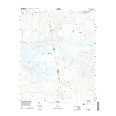 2014 Melson2014 Print · USGSThe Alabama and Georgia borderlands are defined by the winding Coosa River and Weiss Lake in this modern-era study. Genealogists can locate several historic burial grounds including State Line Cem, Hardman Cem, and the rural community of Kirks Grove.
 - 2017 Map of Melson, 2017 Print
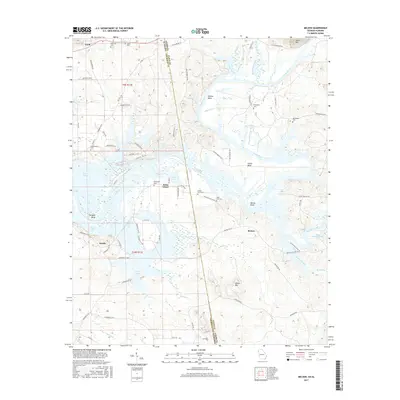 2017 Melson2017 Print · USGSThe Georgia-Alabama borderland along the Coosa River comes into focus in this modern era survey of the river's winding oxbows and rising peaks. Local historians can trace family burial sites like Salem Cem and Davenport Cem or explore the shoreline developments around Weiss Lake and Kirks Grove.
 - 2020 Map of Melson, 2020 Print
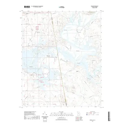 2020 Melson2020 Print · USGSThe borderlands of Alabama and Georgia are shown here as the modern century opens, centered on the winding Coosa River. Genealogists and local historians can locate many rural burial grounds like Macedonia Cem and small settlements such as Kirks Grove.
 - 2024 Map of Melson, 2024 Print
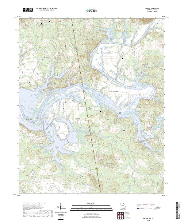 2024 Melson2024 Print · USGSThe Alabama and Georgia borderlands meet along the winding Coosa River in this detailed survey of the mid-2020s. Local researchers can locate historic family burial grounds like Old Langston Plantation Cem and the river crossing at Perkins Ferry.
End of results
Showing maps 1-15 of 15
Top cities near Anniedelle
- Rome historical maps
- Fort Payne historical maps
- Cedartown historical maps
- Cedar Bluff historical maps
- Cave Spring historical maps
- Lyerly historical maps
See more
Frequently asked questions
- What are the different types of historical maps available for Anniedelle?
- What is the oldest map of Anniedelle?
- Where can I purchase historical maps of Anniedelle for my home or office?
- Where can I download high-res historical maps of Anniedelle?
- Are there historical topographic maps available for Anniedelle?
- Is there historical aerial imagery available for Anniedelle?
- Where are historical maps of Anniedelle sourced from?