Old Maps of Ashley Auburn Pointe, Atlanta for Genealogy
Trace your family roots with 24 historic maps of Ashley Auburn Pointe. These high-res maps reveal old neighborhoods, homesites, landmarks, and streets — helping you uncover where your ancestors lived and how the area evolved over time.
- Explore historic neighborhoods: Identify where your relatives may have lived in the 1800s or 1900s.
- Compare maps over time: Trace the changes in streets, buildings, and landmarks for multi-generational research.
- Perfect for genealogy & ancestry research: Used by family historians and researchers to map out lineage and migration.
These maps are an incredible resource for exploring your personal connection to Ashley Auburn Pointe's past.
Ashley Auburn Pointe, Atlanta maps
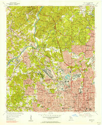
(24)- 1888 Map of Atlanta, 1955 Print
 1888 Atlanta1955 Print · USGSAtlanta and its surrounding counties emerge as a booming rail hub in the years following the Civil War. Trace early settlements and infrastructure like Jett Ferry, Oakley Mill, and the massive granite profile of Stone Mountain before the era of modern sprawl.
 - 1890 Map of Atlanta
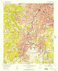
 1890 Atlanta1890 Print · USGSGeorgia's rail and river networks converge in the late nineteenth century as the capital city expands. Genealogists can trace family homesteads near Jetts Store, Howells Mills, and the various river crossings like Paces Ferry.
 - 1892 Map of Atlanta
 1892 Atlanta1892 Print · USGSAtlanta and its surrounding counties appear at a pivotal moment of post-war growth as the region's rail network reached maturity. Genealogists and historians can trace the foundations of modern DeKalb and Fulton counties through landmarks like Stone Mountain, Roswell Junction, and Paces Ferry.
 - 1895 Map of Atlanta
 1895 Atlanta1895 Print · USGSThe growing railroad hub of Atlanta is shown here in the late nineteenth century alongside its surrounding river ferries and emerging suburbs. Trace old family names and sites like Howell Mills, Vining Station, and Ft. McPherson.7 unique versions available
 - 1953 Map of Atlanta, 1965 Print
 1953 Atlanta1965 Print · USGSThe growing Atlanta metro and the industrial corridors of Eastern Alabama are captured here during the mid-century transition. Researchers can trace the rail-to-road shift through hubs like Anniston and La Grange or locate sites within Fort McClellan.2 unique versions available
 - 1954 Map of Bolton, 1957 Print
 1954 Bolton1957 Print · USGSNorthwest Georgia in the mid-fifties reveals the dense intersection of industrial rail lines and established neighborhoods at the edge of the capital. Researchers can trace historic family plots and campus footprints at Crestlawn Cemetery, Georgia Institute of Technology, and Vinings.7 unique versions available
 - 1954 Map of East Point, 1957 Print
 1954 East Point1957 Print · USGSSouth of the city during the mid-fifties, the booming aviation and rail corridor defines the landscape from the airport through the tri-cities. Researchers can trace established neighborhoods and institutions like Fort McPherson, Georgia Military Academy, and West View Cemetery.5 unique versions available
 - 1957 Map of Atlanta
 1957 Atlanta1957 Print · USGSAtlanta and the Alabama borderlands appear here in the mid-fifties, capturing the region's post-war suburban and industrial transition. Trace the development of early transport hubs and military sites like Fort McPherson, Anniston, and the Kennesaw Mountain National Battlefield Park.
 - 1958 Map of Atlanta
 1958 Atlanta1958 Print · USGSMid-century Georgia and Alabama are shown in this regional study of the corridor between the Chattahoochee River and the Appalachian foothills. Local historians can trace the development of suburban Atlanta alongside vital landmarks like Stone Mountain, Dobbins AFB, and the Seaboard Air Line rail routes.
 - 1981 Map of Atlanta, 1982 Print
 1981 Atlanta1982 Print · USGSThe Atlanta metro area is shown during its late-century boom, following the completion of the beltway and the rise of its major international airport. Trace the growth of suburbs from Mableton to Tucker and the footprints of Fort McPherson and Stone Mtn.
 - 1993 Map of Northwest Atlanta, 1995 Print
 1993 Northwest Atlanta1995 Print · USGSNorthwest Atlanta and its surrounding suburbs are captured here in the early nineties, showing a landscape of rapid growth and industrial roots. Researchers can locate long-standing institutions like the Georgia Tech campus and the sprawling rail facilities of Inman Yard.
 - 1993 Map of Southwest Atlanta, 1995 Print
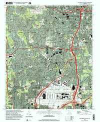
 1993 Southwest Atlanta1995 Print · USGSAtlanta and its southern suburbs appear here in the early nineties, a period of massive logistical growth and institutional permanence. Trace family roots and local landmarks from Westview Cemetery to Woodward Academy and the sprawling Fort McPherson.2 unique versions available
 - 1997 Map of Southwest Atlanta, 1999 Print
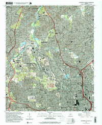
 1997 Southwest Atlanta1999 Print · USGSSouthwest Atlanta and its neighboring tri-city area are captured in the late nineties as major transit and military hubs. Researchers can trace established neighborhoods and institutions like Westview Cemetery, Woodward Academy, and the Fort McPherson Military Reservation.
 - 1997 Map of Northwest Atlanta, 1999 Print
 1997 Northwest Atlanta1999 Print · USGSNorthwest Atlanta and its suburban fringes in the late nineties show a landscape defined by major rail corridors and rapid urban growth. Researchers can trace historic neighborhoods from Buckhead to Riverside, locating schools like The Lovett Sch and the massive Inman Yard terminal.
 - 2011 Map of Northwest Atlanta, 2011 Print
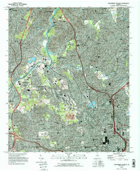
 2011 Northwest Atlanta2011 Print · USGSCovers Ashley Auburn Pointe, including Atlanta, Smyrna, and other nearby areas
 - 2011 Map of Southwest Atlanta, 2011 Print
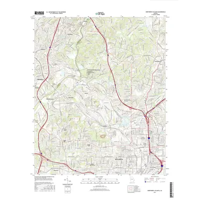
 2011 Southwest Atlanta2011 Print · USGSCovers Ashley Auburn Pointe, including Atlanta, East Point, and other nearby areas
 - 2014 Map of Southwest Atlanta, 2014 Print
 2014 Southwest Atlanta2014 Print · USGSCovers Ashley Auburn Pointe, including Atlanta, East Point, and other nearby areas
 - 2014 Map of Northwest Atlanta, 2014 Print
 2014 Northwest Atlanta2014 Print · USGSCovers Ashley Auburn Pointe, including Atlanta, Smyrna, and other nearby areas
 - 2017 Map of Northwest Atlanta, 2017 Print
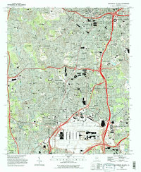
 2017 Northwest Atlanta2017 Print · USGSCovers Ashley Auburn Pointe, including Atlanta, Smyrna, and other nearby areas
 - 2017 Map of Southwest Atlanta, 2017 Print
 2017 Southwest Atlanta2017 Print · USGSCovers Ashley Auburn Pointe, including Atlanta, East Point, and other nearby areas
 - 2020 Map of Northwest Atlanta, 2020 Print
 2020 Northwest Atlanta2020 Print · USGSCovers Ashley Auburn Pointe, including Atlanta, Smyrna, and other nearby areas
 - 2020 Map of Southwest Atlanta, 2020 Print
 2020 Southwest Atlanta2020 Print · USGSCovers Ashley Auburn Pointe, including Atlanta, East Point, and other nearby areas
 - 2024 Map of Southwest Atlanta, 2024 Print
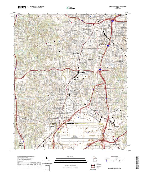 2024 Southwest Atlanta2024 Print · USGSSouthwest Atlanta and its neighboring suburbs are captured in this modern survey, highlighting the massive expansion of the city's southern transport and education hubs. Researchers can trace the layout of historic neighborhoods and landmarks like Westview Cem, Spelman College, and the sprawling Hartsfield - Jackson Airport.
 - 2024 Map of Northwest Atlanta, 2024 Print
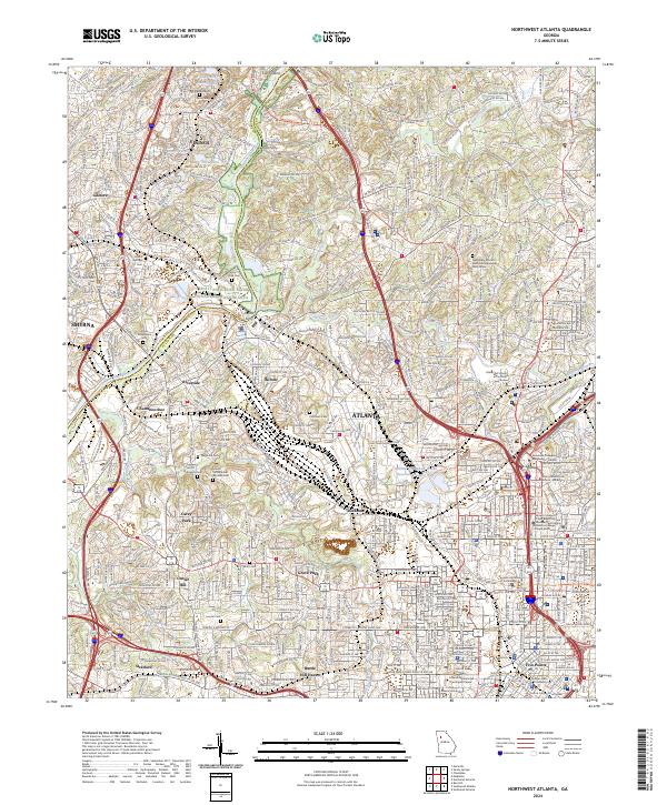 2024 Northwest Atlanta2024 Print · USGSNorthwest Atlanta's modern urban grid meets its historic river crossings and academic centers in this detailed survey of the 2020s. Researchers can locate numerous family landmarks, from Vinings Cem and Lincoln Cem to the storied grounds of the Georgia Institute of Technology.
End of results
Showing maps 1-24 of 24
Frequently asked questions
- What are the different types of historical maps available for Ashley Auburn Pointe?
- What is the oldest map of Ashley Auburn Pointe?
- Where can I purchase historical maps of Ashley Auburn Pointe for my home or office?
- Where can I download high-res historical maps of Ashley Auburn Pointe?
- Are there historical topographic maps available for Ashley Auburn Pointe?
- Is there historical aerial imagery available for Ashley Auburn Pointe?
- Where are historical maps of Ashley Auburn Pointe sourced from?