2000s (21st Century) Maps of Chattahoochee Hills, Georgia
Explore 20 historic maps of Chattahoochee Hills from the 2000s (21st Century). These maps offer a rare glimpse into what life looked like during the 2000s — showing old roads, neighborhoods, homes, and landmarks that have changed or disappeared over time.
Whether you're researching your family's past, planning a metal detecting trip, or studying how Chattahoochee Hills's landscape evolved across the 2000s, these high-resolution maps are a powerful tool for exploring the history of this region.
- Focus on a specific era: All maps on this page are from the 2000s, giving you a focused view of this time period.
- See what’s changed: Compare century-old streets, trails, and buildings to today's modern landscape using overlays and satellite layers.
- Research with precision: Use these maps for genealogy, historical research, land use analysis, or educational projects.
- View, download, or print: Maps are fully viewable online in high resolution, and can be downloaded or printed for your own records.
Start exploring Chattahoochee Hills's history through authentic maps from the 2000s. This is your window into the past.
Chattahoochee Hills, GA maps
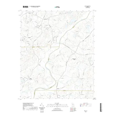
(20)- 2011 Map of Rico, 2011 Print
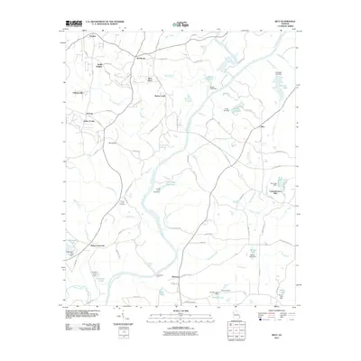 2011 Rico2011 Print · USGSCovers Chattahoochee Hills, including Saint Andrews Country Club Estates, Basket Creek, and other nearby areas
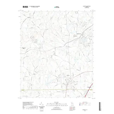
 - 2011 Map of Palmetto, 2011 Print
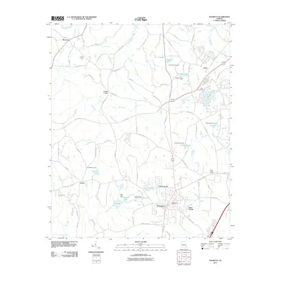 2011 Palmetto2011 Print · USGSCovers Chattahoochee Hills, including South Fulton, Union City, and other nearby areas
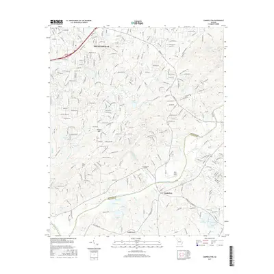
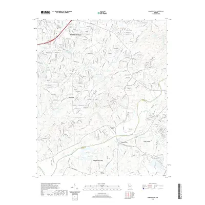
 - 2011 Map of Campbellton, 2011 Print
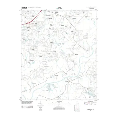 2011 Campbellton2011 Print · USGSCovers Chattahoochee Hills, including Douglasville, Chapel Hill, and other nearby areas
 - 2011 Map of Winston, 2011 Print
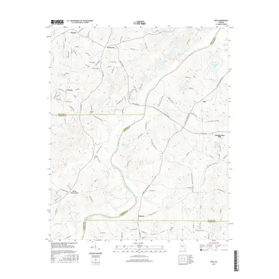
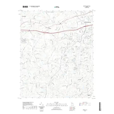
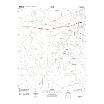 2011 Winston2011 Print · USGSCovers Chattahoochee Hills, including Douglasville, Villa Rica, and other nearby areas
 - 2014 Map of Campbellton, 2014 Print
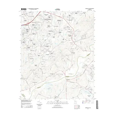 2014 Campbellton2014 Print · USGSCovers Chattahoochee Hills, including Douglasville, Chapel Hill, and other nearby areas
 - 2014 Map of Palmetto, 2014 Print
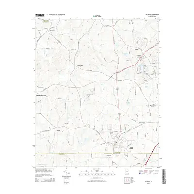 2014 Palmetto2014 Print · USGSCovers Chattahoochee Hills, including South Fulton, Union City, and other nearby areas
 - 2014 Map of Rico, 2014 Print
 2014 Rico2014 Print · USGSCovers Chattahoochee Hills, including Saint Andrews Country Club Estates, Basket Creek, and other nearby areas
 - 2014 Map of Winston, 2014 Print
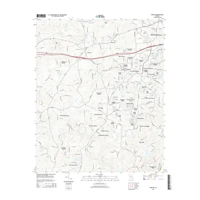 2014 Winston2014 Print · USGSCovers Chattahoochee Hills, including Douglasville, Villa Rica, and other nearby areas
 - 2017 Map of Palmetto, 2017 Print
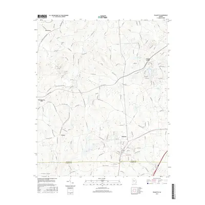 2017 Palmetto2017 Print · USGSCovers Chattahoochee Hills, including South Fulton, Union City, and other nearby areas
 - 2017 Map of Campbellton, 2017 Print
 2017 Campbellton2017 Print · USGSCovers Chattahoochee Hills, including Douglasville, Chapel Hill, and other nearby areas
 - 2017 Map of Rico, 2017 Print
 2017 Rico2017 Print · USGSCovers Chattahoochee Hills, including Saint Andrews Country Club Estates, Basket Creek, and other nearby areas
 - 2017 Map of Winston, 2017 Print
 2017 Winston2017 Print · USGSCovers Chattahoochee Hills, including Douglasville, Villa Rica, and other nearby areas
 - 2020 Map of Winston, 2020 Print
 2020 Winston2020 Print · USGSCovers Chattahoochee Hills, including Douglasville, Villa Rica, and other nearby areas
 - 2020 Map of Rico, 2020 Print
 2020 Rico2020 Print · USGSCovers Chattahoochee Hills, including Saint Andrews Country Club Estates, Basket Creek, and other nearby areas
 - 2020 Map of Palmetto, 2020 Print
 2020 Palmetto2020 Print · USGSCovers Chattahoochee Hills, including South Fulton, Union City, and other nearby areas
 - 2020 Map of Campbellton, 2020 Print
 2020 Campbellton2020 Print · USGSCovers Chattahoochee Hills, including Douglasville, Chapel Hill, and other nearby areas
 - 2024 Map of Rico, 2024 Print
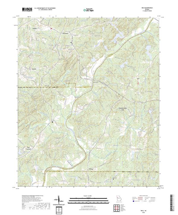 2024 Rico2024 Print · USGSThe rural borders of Fulton and Douglas counties are mapped here in the modern era, where the river still dictates the local geography. Researchers can trace old routes to Morris Ferry, locate family plots at County Line Cem, or find the crossroads at Rico.
 - 2024 Map of Palmetto, 2024 Print
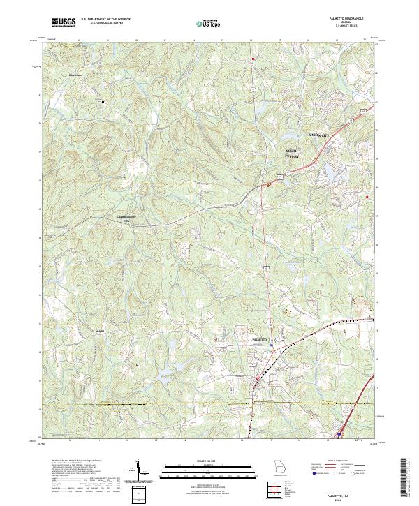 2024 Palmetto2024 Print · USGSSouthwest of Atlanta in the twenty-first century, this landscape shows the meeting point of suburban growth and rural Georgia history. Genealogists and local researchers can locate the Cochran Cem and trace old routes through Rivertown, Goodes, and Chattahoochee Hills.
 - 2024 Map of Winston, 2024 Print
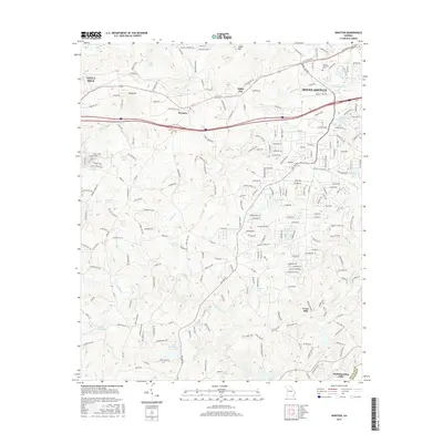
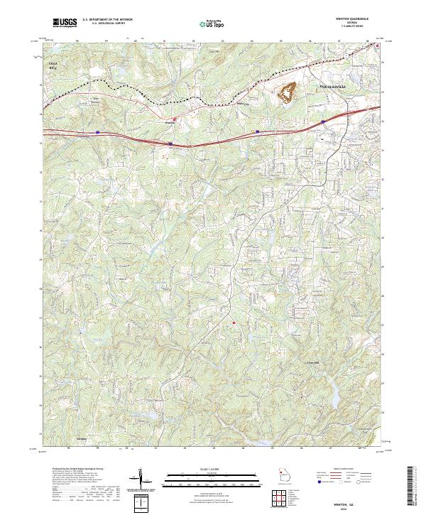 2024 Winston2024 Print · USGSDouglas County reveals a landscape of winding river valleys and growing communities in this recent survey. Local historians can trace the paths of old landmarks like Fouts Mill, Pumpkintown Ferry, and the hills around Andy Mountain.
 - 2024 Map of Campbellton, 2024 Print
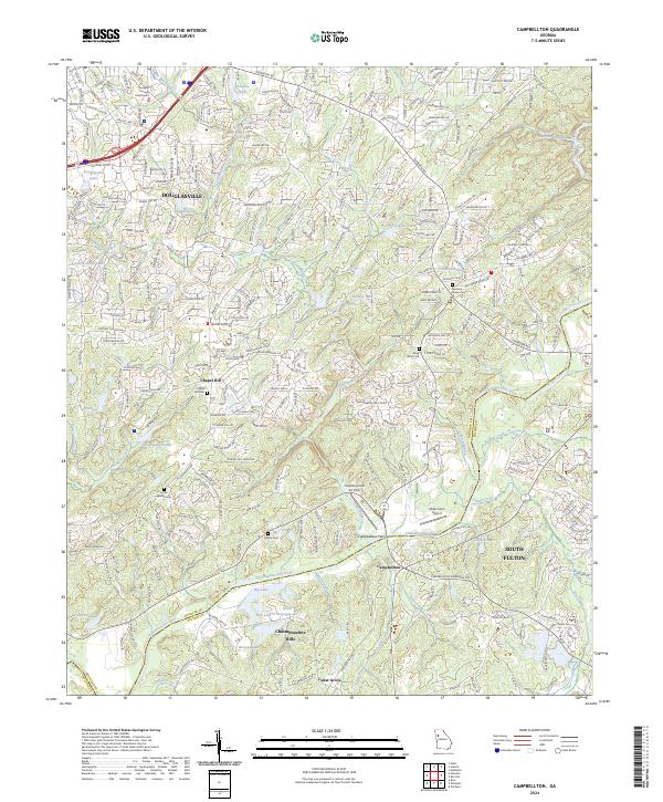 2024 Campbellton2024 Print · USGSDouglas and Fulton counties meet along the winding river corridor in this recent survey of the suburban and rural Piedmont. Researchers can pinpoint several historic burial sites, including the Boyd Slave Cem, and trace the development around Campbellton and Cedar Grove.
End of results
Showing maps 1-20 of 20
Top cities near Chattahoochee Hills
- Atlanta historical maps
- South Fulton historical maps
- Newnan historical maps
- East Point historical maps
- Peachtree City historical maps
- Douglasville historical maps
See more
Top neighborhoods of Chattahoochee Hills
- Cackle Corner historical maps
- Serenbe historical maps
- Rico historical maps
- Goodes historical maps
- Rivertown historical maps
- Redwine historical maps
Frequently asked questions
- What are the different types of historical maps available for Chattahoochee Hills?
- What is the oldest map of Chattahoochee Hills?
- Where can I purchase historical maps of Chattahoochee Hills for my home or office?
- Where can I download high-res historical maps of Chattahoochee Hills?
- Are there historical topographic maps available for Chattahoochee Hills?
- Is there historical aerial imagery available for Chattahoochee Hills?
- Where are historical maps of Chattahoochee Hills sourced from?