Old Maps of Groveside Park, Georgia for Academic Research
Study the evolution of Groveside Park with 16 high-resolution historic maps. Whether you're teaching, researching, or modeling changes in land use, these maps provide essential visual documentation of urban, environmental, and geographic change.
- Analyze long-term change: Track patterns in development, transportation, and natural features.
- Ideal for environmental or urban studies: Support academic projects with primary historical map data.
- Use in the classroom or lab: Educators and researchers rely on these maps to bring historical context to life.
These maps are a powerful tool for teaching, research, and visualizing how Groveside Park has changed over the decades.
Groveside Park, GA maps
(16)- 1918 Map of Everett City
 1918 Everett City1918 Print · USGSCoastal Georgia at the end of the Great War was a world of vast river swamps and emerging rail junctions. Genealogists and historians can trace family locations through isolated landmarks like Bull Island School, the Ft Barrington Ferry, and the timber-driven siding at Thalmann.2 unique versions available
 - 1920 Map of Everett City, 1944 Print
 1920 Everett City1944 Print · USGSCoastal Glynn County was a hub of railroad and river activity during the early twentieth century. Researchers can trace family-named landings and vanished rail stops like Thalmann, the Union Industrial School, and the historic Ft Barrington Ferry.
 - 1944 Map of Everett City
 1944 Everett City1944 Print · USGSCoastal Georgia during the mid-forties was a world of rail junctions and river landings tied to the Altamaha. Genealogists and historians can trace rail-side communities like Everett City, rural schoolhouses including Bull Island Sch, and the site of the Fort Barrington Ferry.
 - 1946 Map of Brunswick, 1948 Print
 1946 Brunswick1948 Print · USGSCoastal Georgia in the mid-forties reveals a landscape defined by the Camp Stewart Military Reservation and the sprawling barrier islands. Genealogists and historians can trace the rail-and-river network through inland towns like Ludowici and Jesup, or locate coastal landmarks like the St Simon Light.
 - 1948 Map of Brunswick
 1948 Brunswick1948 Print · USGSCoastal Georgia in the late 1940s is defined here by its labyrinthine barrier islands and the massive footprint of Camp Stewart. Genealogists and historians can trace the rail-tied growth of Jesup and Hinesville or locate coastal landmarks like St Simon Light.
 - 1956 Map of Brunswick, 1968 Print
 1956 Brunswick1968 Print · USGSThe Georgia coast in the mid-twentieth century is a wild expanse of barrier islands and massive river deltas. You can trace the development of the maritime economy and military presence at Brunswick, or locate historic sites like Fort Frederica National Monument and Harris Neck National Wildlife Refuge.2 unique versions available
 - 1961 Map of Brunswick
 1961 Brunswick1961 Print · USGSThe Georgia coast at the start of the 1960s was a landscape of deep tidal marshes and growing military installations. Genealogists and historians can trace rail-linked towns like Limerick Station or explore coastal landmarks from Fort Frederica National Monument to Sapelo Island.
 - 1978 Map of Sterling
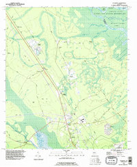
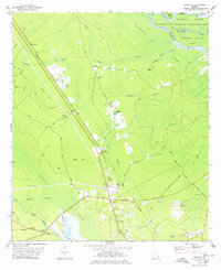 1978 Sterling1978 Print · USGSCoastal Georgia's rail and river landscapes come to life in this late-seventies survey of the wetlands west of Brunswick. Genealogists and historians can trace the paths between the Southern Railway junction at Sterling and local landmarks like Anguilla or Salem Ch.2 unique versions available
 - 1978 Map of Brunswick
 1978 Brunswick1978 Print · USGSThe Georgia coast and its barrier islands are captured in the late 1970s, as I-95 and the rail lines shaped the growth of coastal towns. Genealogists and historians can trace family locations across the islands or locate sites near Fort Stewart, Darien, and Ludowici.2 unique versions available
 - 1981 Map of Brunswick, 1982 Print
 1981 Brunswick1982 Print · USGSThe Georgia coast at the start of the eighties reveals a complex landscape of tidal estuaries, deep-water sounds, and growing island communities. Trace local history through the protected grounds of Fort Frederica National Monument and the old rail stops at Thalmann and Nahunta.3 unique versions available
 - 1993 Map of Sterling, 1995 Print
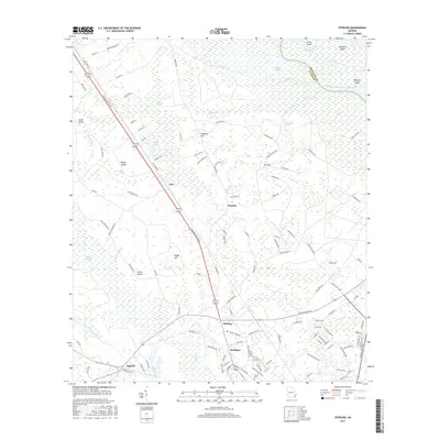
 1993 Sterling1995 Print · USGSGeorgia's coastal lowlands and river islands are meticulously detailed in this mid-nineties survey of the Altamaha basin. Researchers can trace rural rail stops and settlements like Sterling, Pennick, and Anguilla alongside the cypress-laden waters of Honeygall Swamp.
 - 2011 Map of Sterling, 2011 Print
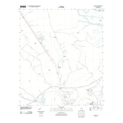 2011 Sterling2011 Print · USGSCovers Groveside Park, including Frazers Crossing, Pennick, and other nearby areas
 - 2014 Map of Sterling, 2014 Print
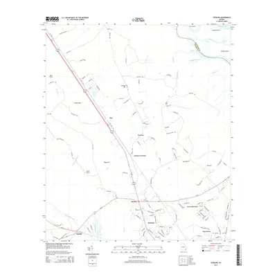 2014 Sterling2014 Print · USGSCovers Groveside Park, including Frazers Crossing, Pennick, and other nearby areas
 - 2017 Map of Sterling, 2017 Print
 2017 Sterling2017 Print · USGSCovers Groveside Park, including Frazers Crossing, Pennick, and other nearby areas
 - 2020 Map of Sterling, 2020 Print
 2020 Sterling2020 Print · USGSCovers Groveside Park, including Frazers Crossing, Pennick, and other nearby areas
 - 2024 Map of Sterling, 2024 Print
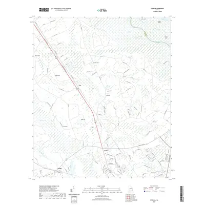
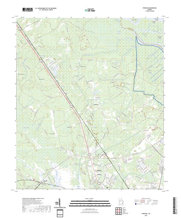 2024 Sterling2024 Print · USGSCoastal Georgia's riverine landscape comes to life in this detailed view of the Altamaha basin. Researchers can trace historical family locations near Sterling and Anguilla or find the Daniel Cem amid the Honeygall Swamp.
End of results
Showing maps 1-16 of 16
Top cities near Groveside Park
- Brunswick historical maps
- Saint Simons historical maps
- Country Club Estates historical maps
- Dock Junction historical maps
- Darien historical maps
Frequently asked questions
- What are the different types of historical maps available for Groveside Park?
- What is the oldest map of Groveside Park?
- Where can I purchase historical maps of Groveside Park for my home or office?
- Where can I download high-res historical maps of Groveside Park?
- Are there historical topographic maps available for Groveside Park?
- Is there historical aerial imagery available for Groveside Park?
- Where are historical maps of Groveside Park sourced from?