Old Maps of Pawnee, Georgia for Genealogy
Trace your family roots with 10 historic maps of Pawnee. These high-res maps reveal old neighborhoods, homesites, landmarks, and streets — helping you uncover where your ancestors lived and how the area evolved over time.
- Explore historic neighborhoods: Identify where your relatives may have lived in the 1800s or 1900s.
- Compare maps over time: Trace the changes in streets, buildings, and landmarks for multi-generational research.
- Perfect for genealogy & ancestry research: Used by family historians and researchers to map out lineage and migration.
These maps are an incredible resource for exploring your personal connection to Pawnee's past.
Pawnee, GA maps
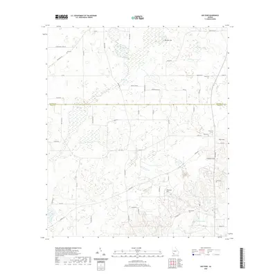
(10)- 1953 Map of Dothan, 1966 Print
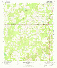
 1953 Dothan1966 Print · USGSSoutheast Alabama and Southwest Georgia are captured during a period of massive hydraulic and military expansion in the mid-fifties. Genealogists and historians can trace rural landmarks like Antioch Church and School, the Andrew Jackson Monument, and the early footprint of Fort Rucker Military Reservation.3 unique versions available
 - 1954 Map of Dothan
 1954 Dothan1954 Print · USGSSoutheast Alabama and Southwest Georgia are seen here in the mid-fifties, during a decade of military expansion and rural transition. Genealogists can trace the location of country schools like Little Zion School or the grounds of Kolomoki Mounds State Park.
 - 1955 Map of Dothan
 1955 Dothan1955 Print · USGSSoutheast Alabama and Southwest Georgia are captured here in the mid-fifties, showing a landscape of river-port history and growing military bases. Researchers can trace rural life via the Andrew Jackson Monument, Bauxite mines, and the Central of Georgia RR.
 - 1971 Map of Gee Pond, 1974 Print
 1971 Gee Pond1974 Print · USGSThe rural borderlands of Mitchell and Grady Counties in the early seventies are a patchwork of small churches and natural sinkholes. Genealogists can trace family connections at Union Cem or Maxwell Cem and locate landmarks like the Hawthorne Trail Lookout Tower.2 unique versions available
 - 1981 Map of Camilla, 1982 Print
 1981 Camilla1982 Print · USGSSouthwest Georgia in the early 1980s is defined by the winding Flint River and the ancient legacy of Kolomoki Mounds State Park. Researchers can trace the agricultural and rail economy through junctions like Blakely, Pelham, and the rail lines of the Central of Georgia.2 unique versions available
 - 2011 Map of Gee Pond, 2011 Print
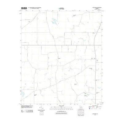 2011 Gee Pond2011 Print · USGSCovers Pawnee, including Harrells Still, Grady County, and other nearby areas
 - 2014 Map of Gee Pond, 2014 Print
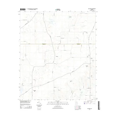 2014 Gee Pond2014 Print · USGSCovers Pawnee, including Harrells Still, Grady County, and other nearby areas
 - 2017 Map of Gee Pond, 2017 Print
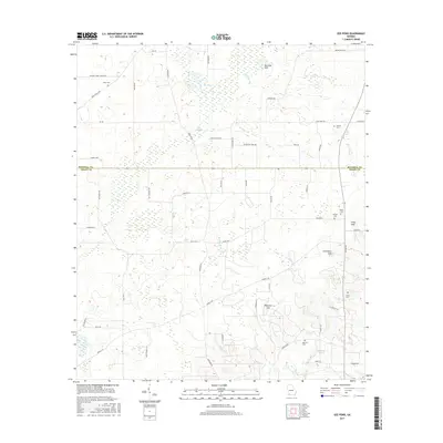 2017 Gee Pond2017 Print · USGSCovers Pawnee, including Harrells Still, Grady County, and other nearby areas
 - 2020 Map of Gee Pond, 2020 Print
 2020 Gee Pond2020 Print · USGSCovers Pawnee, including Harrells Still, Grady County, and other nearby areas
 - 2024 Map of Gee Pond, 2024 Print
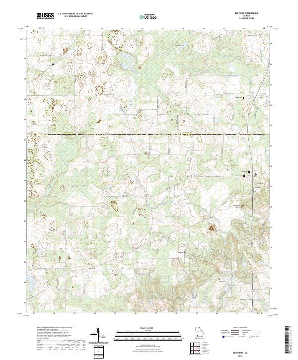 2024 Gee Pond2024 Print · USGSThe Mitchell and Grady County line in Southwest Georgia is captured here during the modern era, revealing a landscape of unique karst features and family landholdings. Researchers can locate several rural burial sites and distinct geographical landmarks like Devils Den, Mizpah Cem, and Chambless Sink.
End of results
Showing maps 1-10 of 10
Top cities near Pawnee
- Bainbridge historical maps
- Cairo historical maps
- Camilla historical maps
- Pelham historical maps
- Meigs historical maps
- Whigham historical maps
See more
Frequently asked questions
- What are the different types of historical maps available for Pawnee?
- What is the oldest map of Pawnee?
- Where can I purchase historical maps of Pawnee for my home or office?
- Where can I download high-res historical maps of Pawnee?
- Are there historical topographic maps available for Pawnee?
- Is there historical aerial imagery available for Pawnee?
- Where are historical maps of Pawnee sourced from?