2020s Maps of Greene County, Georgia
Explore 30 historic maps of Greene County from the 2020s. These maps offer a rare glimpse into what life looked like during the 2020s — showing old roads, neighborhoods, homes, and landmarks that have changed or disappeared over time.
Whether you're researching your family's past, planning a metal detecting trip, or studying how Greene County's landscape evolved across the 2020s, these high-resolution maps are a powerful tool for exploring the history of this region.
- Focus on a specific era: All maps on this page are from the 2020s, giving you a focused view of this time period.
- See what’s changed: Compare century-old streets, trails, and buildings to today's modern landscape using overlays and satellite layers.
- Research with precision: Use these maps for genealogy, historical research, land use analysis, or educational projects.
- View, download, or print: Maps are fully viewable online in high resolution, and can be downloaded or printed for your own records.
Start exploring Greene County's history through authentic maps from the 2020s. This is your window into the past.
Greene County, GA maps
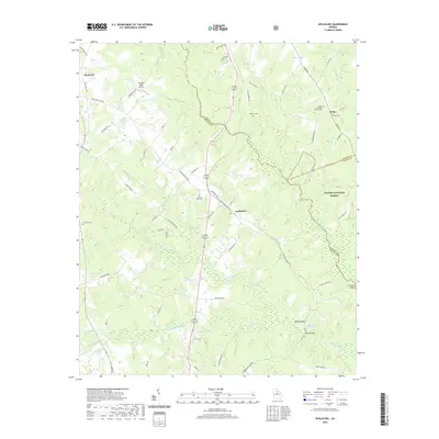
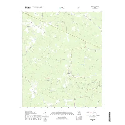
(30)- 2020 Map of Philomath, 2020 Print
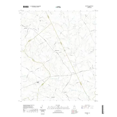 2020 Philomath2020 Print · USGSCovers Greene County, including Philomath, Springfield, and other nearby areas
 - 2020 Map of Sparta NW, 2020 Print
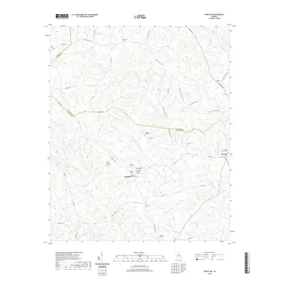 2020 Sparta NW2020 Print · USGSCovers Greene County, including Springfield, Hancock County, and other nearby areas
 - 2020 Map of Crawfordville, 2020 Print
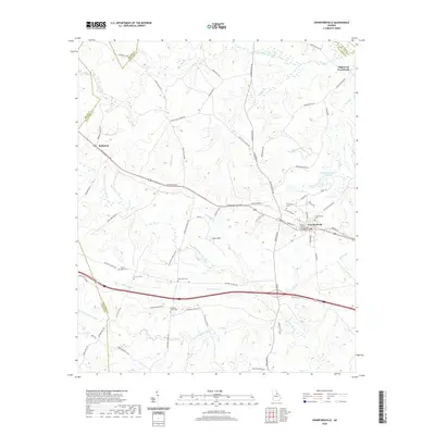 2020 Crawfordville2020 Print · USGSCovers Greene County, including Crawfordville, Edgewood Crossroads, and other nearby areas
 - 2020 Map of Greensboro, 2020 Print
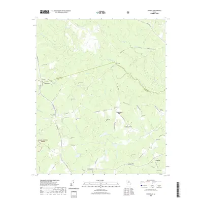
 2020 Greensboro2020 Print · USGSCovers Greene County, including Greensboro, Veazey, and other nearby areas
 - 2020 Map of Apalachee, 2020 Print
 2020 Apalachee2020 Print · USGSCovers Greene County, including Bostwick, Apalachee, and other nearby areas
 - 2020 Map of Rockville, 2020 Print
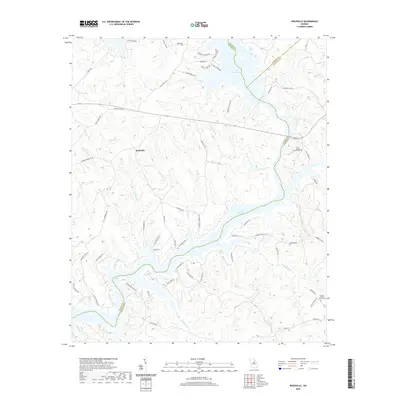 2020 Rockville2020 Print · USGSCovers Greene County, including Oconee Springs, Rockville, and other nearby areas
 - 2020 Map of Liberty, 2020 Print
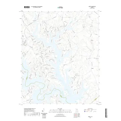 2020 Liberty2020 Print · USGSCovers Greene County, including Liberty, Lake Oconee, and other nearby areas
 - 2020 Map of Buckhead, 2020 Print
 2020 Buckhead2020 Print · USGSCovers Greene County, including Buckhead, Carey, and other nearby areas
 - 2020 Map of Penfield, 2020 Print
 2020 Penfield2020 Print · USGSCovers Greene County, including Woodville, Maxeys, and other nearby areas
 - 2020 Map of Greshamville, 2020 Print
 2020 Greshamville2020 Print · USGSCovers Greene County, including Wrayswood, Greshamville, and other nearby areas
 - 2020 Map of Woodville, 2020 Print
 2020 Woodville2020 Print · USGSCovers Greene County, including Union Point, Woodville, and other nearby areas
 - 2020 Map of Union Point, 2020 Print
 2020 Union Point2020 Print · USGSCovers Greene County, including Union Point, White Plains, and other nearby areas
 - 2020 Map of White Plains, 2020 Print
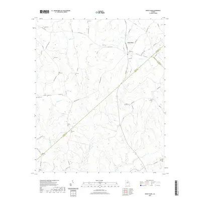 2020 White Plains2020 Print · USGSCovers Greene County, including White Plains, Mosquito Crossing, and other nearby areas
 - 2020 Map of Barnett Shoals, 2020 Print
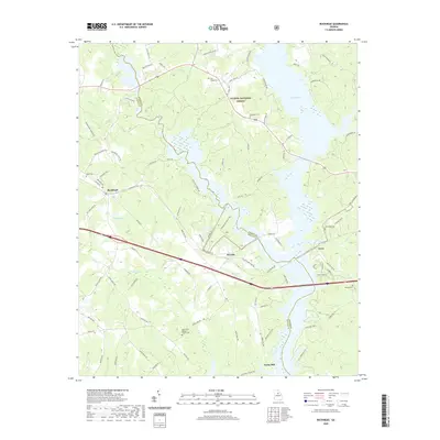
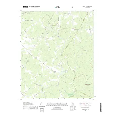 2020 Barnett Shoals2020 Print · USGSCovers Greene County, including Athens, Pioneer Woods, and other nearby areas
 - 2020 Map of Harmony, 2020 Print
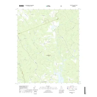
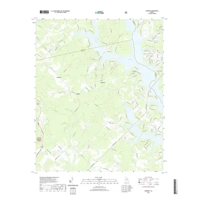 2020 Harmony2020 Print · USGSCovers Greene County, including Harmony, Turnwold, and other nearby areas
 - 2024 Map of Penfield, 2024 Print
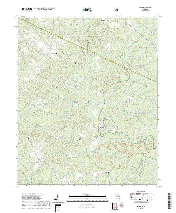 2024 Penfield2024 Print · USGSGreene County's wooded hills and creek valleys are documented here, showing the rural landscape between Penfield and Maxeys. Researchers can locate numerous family burial sites like Macedonia Cem and Finley Cem or trace the early paths of Town Creek.
 - 2024 Map of Philomath, 2024 Print
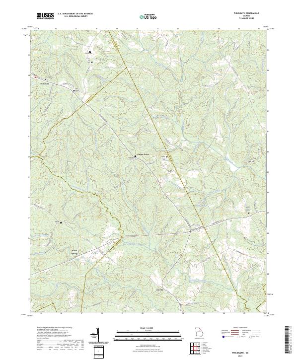 2024 Philomath2024 Print · USGSWilkes and Oglethorpe counties are mapped here in the modern era, showing a landscape still rooted in its 19th-century settlement patterns. Genealogists can trace family locations through numerous sites like Philomath Cem, Beasley Cem, and the church at Carters Grove.
 - 2024 Map of White Plains, 2024 Print
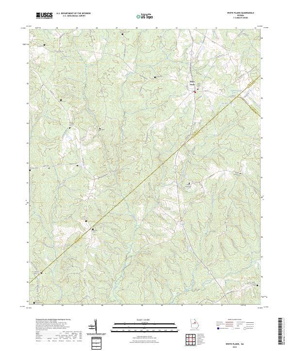 2024 White Plains2024 Print · USGSGeorgia's rural Greene County and its neighboring borders are captured here in the modern era. Genealogists can trace family heritage at White Plains Cem, Centennial Cem, and The Blue Hole.
 - 2024 Map of Sparta NW, 2024 Print
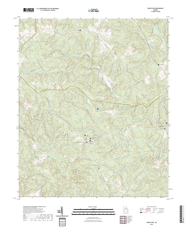 2024 Sparta NW2024 Print · USGSIn the rural Georgia Piedmont during the twenty-first century, this area preserves a landscape of family-run farms and old churchyards. Genealogists can trace family names at the Johnston Family Cem and Hubert Family Cem, or locate the historic center of Powelton.
 - 2024 Map of Greensboro, 2024 Print
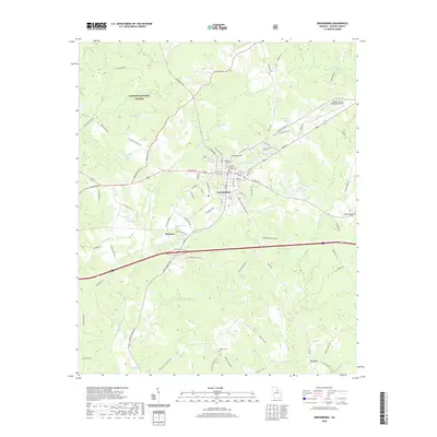
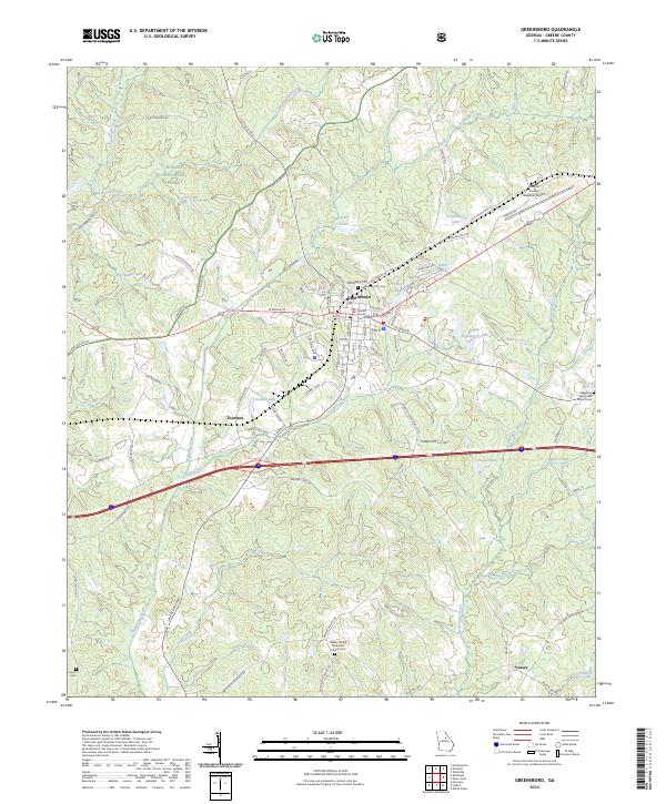 2024 Greensboro2024 Print · USGSGreensboro and the surrounding Greene County countryside are captured here in the contemporary era. Researchers can trace local lineage through the Greensboro City Cem and Walker United Methodist Church Cem or locate the Greene County Courthouse.
 - 2024 Map of Apalachee, 2024 Print
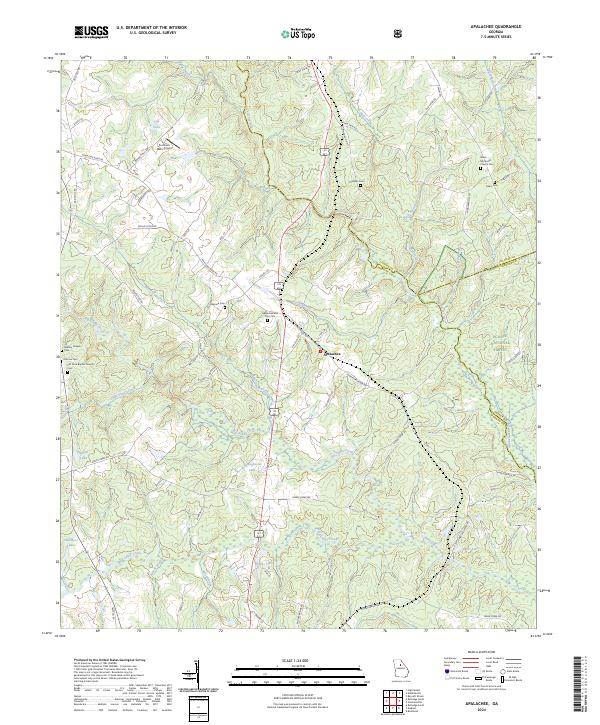 2024 Apalachee2024 Print · USGSMorgan County is shown in this contemporary record as a landscape of river-fed valleys and quiet rural crossroads. Genealogists can trace family heritage at Apalachee and Prior Cem, Mallory Chapel Cem, and Flat Rock Baptist Church Cem.
 - 2024 Map of Crawfordville, 2024 Print
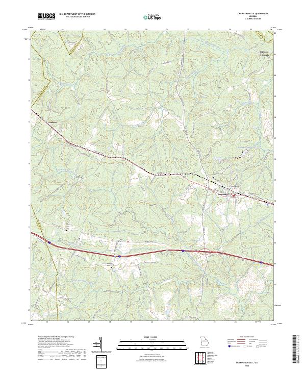 2024 Crawfordville2024 Print · USGSThe rural heart of Taliaferro County is captured here in modern detail, centered on the historic crossroads of Crawfordville. Local historians can trace family roots through numerous sites like Friendship Cem, Mount Olive Cem, and the old Robinson Church.
 - 2024 Map of Greshamville, 2024 Print
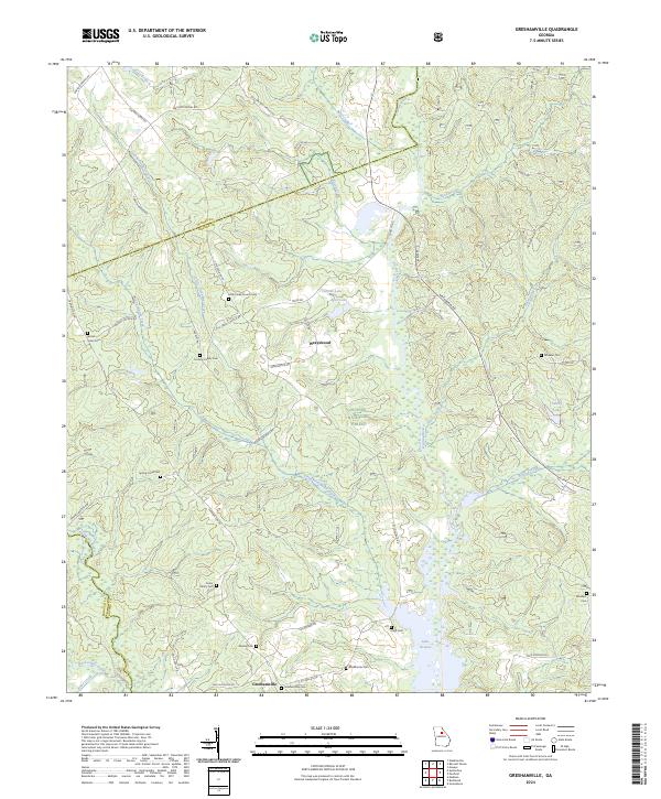 2024 Greshamville2024 Print · USGSGreshamville and the Oconee River valley are captured here in the early twenty-first century, showing a landscape of forest preserves and family landholdings. Researchers can locate numerous small burial sites like Spring Creek Cem and Brown-Jones Cem or trace the shoreline of Lake Oconee.
 - 2024 Map of Union Point, 2024 Print
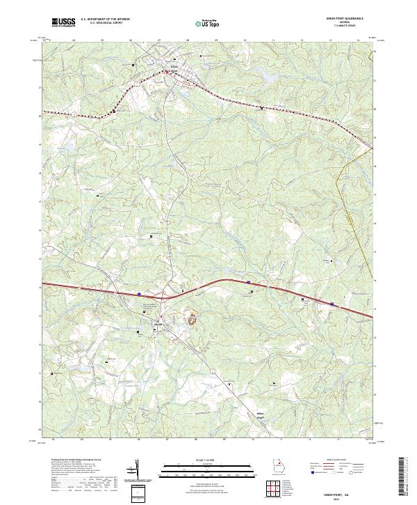 2024 Union Point2024 Print · USGSEastern Georgia's rural character is on full display here, as it appeared in the early twenty-first century. Genealogists can trace family lines across dozens of sites including Gaines Cem, Bethel Cem, and the community around Siloam.
 - 2024 Map of Woodville, 2024 Print
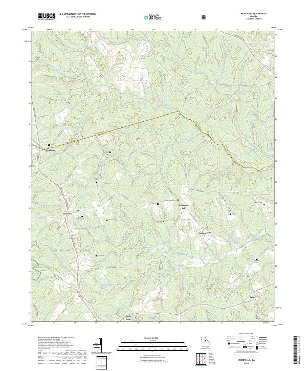 2024 Woodville2024 Print · USGSGreene County’s rural crossroads and forested reaches are captured here in the contemporary era. Genealogists and historians can trace family locations through numerous sites like Durham Town, the Armstrong Cem, and Bairdstown Cem.
Showing maps 1-25 of 30
Top cities of Greene County
- Greensboro historical maps
- Union Point historical maps
- Woodville historical maps
- White Plains historical maps
- Siloam historical maps
Frequently asked questions
- What are the different types of historical maps available for Greene County?
- What is the oldest map of Greene County?
- Where can I purchase historical maps of Greene County for my home or office?
- Where can I download high-res historical maps of Greene County?
- Are there historical topographic maps available for Greene County?
- Is there historical aerial imagery available for Greene County?
- Where are historical maps of Greene County sourced from?