Old Maps of Okefenokee Ridge, Gwinnett County for Metal Detecting
Plan your next treasure hunt with 21 historic maps of Okefenokee Ridge. Find old homesites, ghost towns, trails, and gathering spots that may be lost to time — perfect for identifying promising metal detecting locations.
- Locate forgotten sites: Uncover places like long-lost settlements, abandoned rail lines, or gathering spots.
- Plan better hunts: Use map overlays combined with LiDAR or satellite views to narrow in on historically rich areas.
- Made for detectorists: Thousands of hobbyists use these maps to discover relics, coins, and hidden history.
Use these historic maps to boost your research and find new opportunities beneath the surface of Okefenokee Ridge.
Okefenokee Ridge, Gwinnett County maps
(21)- 1896 Map of Monroe
 1896 Monroe1896 Print · USGSNorth-central Georgia thrives during the late nineteenth century as a hub of river-powered industry and rail expansion. Genealogists and historians can trace family locations near Salem Camp Ground, the local commerce at Carithers Store, and several early crossings like Bells Bridge.5 unique versions available
 - 1953 Map of Athens, 1966 Print
 1953 Athens1966 Print · USGSGeorgia's Piedmont and Savannah River borderlands come alive in this mid-century survey of the region surrounding Athens and Augusta. Trace the rail-and-river economy through the Georgia RR and landmarks like the Fort Gordon Military Reservation.3 unique versions available
 - 1958 Map of Athens
 1958 Athens1958 Print · USGSNorth-central Georgia and the Savannah River valley are captured in the late fifties, showing the region as the new reservoirs were filling. Researchers can trace historic rail lines like the Georgia RR and locate rural landmarks such as Social Circle, Graves Mountain, and the Fort Gordon Military Reservation.
 - 1959 Map of Athens
 1959 Athens1959 Print · USGSNortheast Georgia and the South Carolina borderlands appear here in the mid-fifties, during a decade of infrastructure growth. Genealogists and historians can trace the rail-and-river geography of towns like Social Circle, the sprawl of Fort Gordon Military Reservation, and the newly formed Clark Hill Reservoir.
 - 1963 Map of Athens
 1963 Athens1963 Print · USGSGeorgia's Piedmont and the Savannah River valley are captured in the early sixties as major reservoirs and military installations reshaped the landscape. Researchers can trace the development of Clark Hill Reservoir, locate the Fort Gordon Military Reservation, and find historic towns like Social Circle and Eatonton.
 - 1964 Map of Bold Springs, 1965 Print
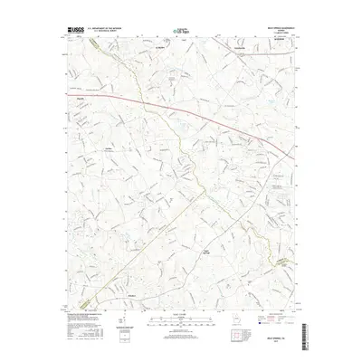
 1964 Bold Springs1965 Print · USGSBarrow and Gwinnett counties appear here in the mid-sixties, a landscape of family-run farms and quiet rural crossroads. Researchers can trace historic land use through sites like Kilgore Cem, the Seaboard Air Line rail corridor, and the settlement at Bold Springs.4 unique versions available
 - 1964 Map of Lawrenceville, 1965 Print
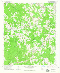
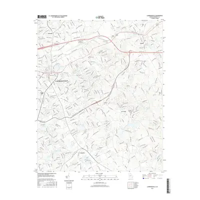
 1964 Lawrenceville1965 Print · USGSGwinnett County is captured in the mid-1960s as the town of Lawrenceville grows outward into a landscape of family farms and country churches. Genealogists and historians can locate Shadowlawn Cemetery, Tribble Mill, and the Lawrenceville Campground.2 unique versions available
 - 1980 Map of Athens, 1981 Print
 1980 Athens1981 Print · USGSNorth Georgia in the early eighties exhibits a landscape of growing university towns and deep-rooted rail hubs. Genealogists can trace family lands near Social Circle or Watkinsville while following the routes of the Central of Georgia and the Appalachee River.2 unique versions available
 - 1988 Map of Athens
 1988 Athens1988 Print · USGSThe Georgia Piedmont and South Carolina borderlands appear in the late eighties as a landscape of vast reservoirs and growing towns. Researchers can trace the legacy of the Georgia RR connecting Athens and Augusta, or locate landmarks within Oconee National Forest.
 - 1992 Map of Lawrenceville
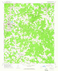
 1992 Lawrenceville1992 Print · USGSGwinnett County's rapid growth during the early nineties is documented here, showing the expansion of Lawrenceville and Dacula. Local historians can trace long-standing landmarks like the Lawrenceville Camp Ground and McMillan Cem alongside the modern Tribble Mill County Park.
 - 1998 Map of Lawrenceville, 1999 Print
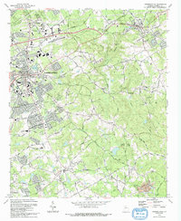
 1998 Lawrenceville1999 Print · USGSGwinnett County during the late nineties shows a landscape of growing suburban centers and preserved local history. Genealogists can trace family roots at Shadowlawn Cemetery and Ewings Cem, or explore older community hubs like New Hope and Grayson.
 - 2011 Map of Lawrenceville, 2011 Print
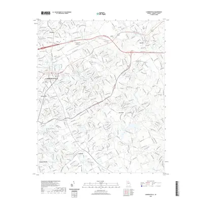
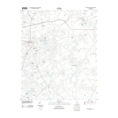 2011 Lawrenceville2011 Print · USGSCovers Okefenokee Ridge, including Lawrenceville, Snellville, and other nearby areas
 - 2011 Map of Bold Springs, 2011 Print
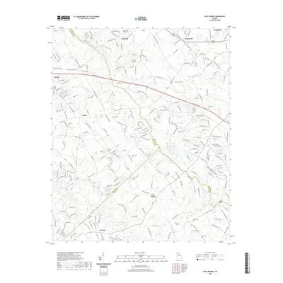
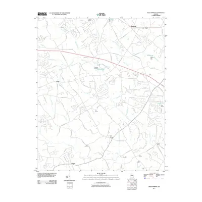 2011 Bold Springs2011 Print · USGSCovers Okefenokee Ridge, including Winder, Auburn, and other nearby areas
 - 2014 Map of Bold Springs, 2014 Print
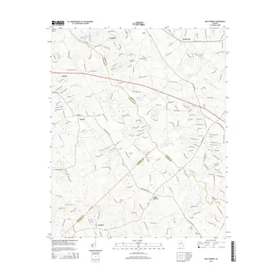 2014 Bold Springs2014 Print · USGSCovers Okefenokee Ridge, including Winder, Auburn, and other nearby areas
 - 2014 Map of Lawrenceville, 2014 Print
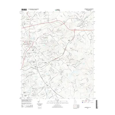 2014 Lawrenceville2014 Print · USGSCovers Okefenokee Ridge, including Lawrenceville, Snellville, and other nearby areas
 - 2017 Map of Lawrenceville, 2017 Print
 2017 Lawrenceville2017 Print · USGSCovers Okefenokee Ridge, including Lawrenceville, Snellville, and other nearby areas
 - 2017 Map of Bold Springs, 2017 Print
 2017 Bold Springs2017 Print · USGSCovers Okefenokee Ridge, including Winder, Auburn, and other nearby areas
 - 2020 Map of Lawrenceville, 2020 Print
 2020 Lawrenceville2020 Print · USGSCovers Okefenokee Ridge, including Lawrenceville, Snellville, and other nearby areas
 - 2020 Map of Bold Springs, 2020 Print
 2020 Bold Springs2020 Print · USGSCovers Okefenokee Ridge, including Winder, Auburn, and other nearby areas
 - 2024 Map of Bold Springs, 2024 Print
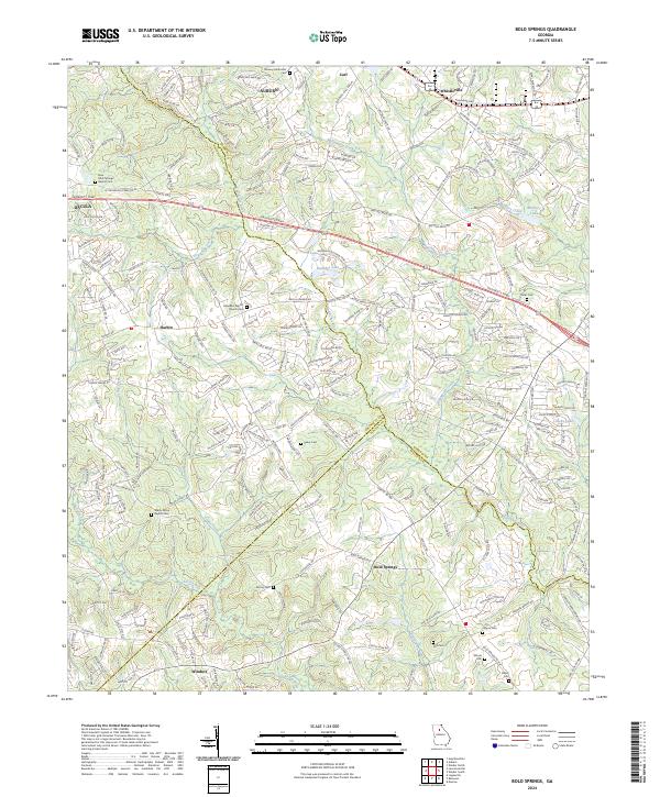 2024 Bold Springs2024 Print · USGSBarrow County and its neighbors Gwinnett and Walton appear here in the early twenty-first century as suburban growth meets rural tradition. Genealogists and local researchers can locate numerous family burial sites, including Peavy Cem, Still Cem, and Midway Methodist Cem.
 - 2024 Map of Lawrenceville, 2024 Print
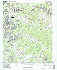
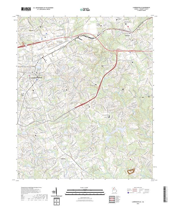 2024 Lawrenceville2024 Print · USGSGwinnett County emerges as a bustling suburban landscape in this 2024 survey of the Georgia Piedmont. Genealogists can trace family names at Hebron Baptist Church Cem or the Lawrenceville Historic Sem while following the Alcovy River and CSX Transportation line.
End of results
Showing maps 1-21 of 21
Frequently asked questions
- What are the different types of historical maps available for Okefenokee Ridge?
- What is the oldest map of Okefenokee Ridge?
- Where can I purchase historical maps of Okefenokee Ridge for my home or office?
- Where can I download high-res historical maps of Okefenokee Ridge?
- Are there historical topographic maps available for Okefenokee Ridge?
- Is there historical aerial imagery available for Okefenokee Ridge?
- Where are historical maps of Okefenokee Ridge sourced from?