Old Maps of Bowersville, Georgia
Explore 17 old maps of Bowersville, spanning from 1891 to today. These high-resolution historic maps reveal how streets, neighborhoods, landmarks, and natural features evolved over time — perfect for genealogy, metal detecting, research, and local history exploration.
What you can do with these maps:
- See how Bowersville changed over time: Compare historical maps to modern-day views to trace roads, homesites, rail lines & more.
- View detailed metadata: Each map includes creators, publishers, year, scale, and archive source.
- Overlay maps with satellite & LiDAR: Visualize the past alongside modern tools to explore terrain & human change.
- Trusted historical sources: Maps sourced from the USGS, Library of Congress, and other archives.
- Access maps your way: View online, download high-res files, or order prints for personal or research use.
Start exploring old maps of Bowersville to uncover forgotten places, hidden landmarks, and the deep history beneath your feet.
Bowersville, GA maps
(17)- 1891 Map of Carnesville
 1891 Carnesville1891 Print · USGSNortheast Georgia in the late nineteenth century is documented here as a landscape of small river settlements and emerging rail towns. Genealogists can trace family roots through locations like Jewellville, Fort Lamar, and the river crossing at Braggs Fy.6 unique versions available
 - 1954 Map of Greenville, 1965 Print
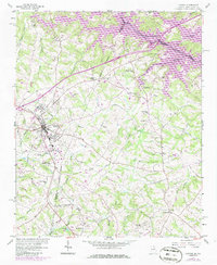
 1954 Greenville1965 Print · USGSThe Upstate and Northeast Georgia are captured here during a decade of massive transformation as new reservoirs reshaped the Piedmont. Genealogists and hikers can trace the Appalachian Trail over Brasstown Bald or locate old community centers like Demorest, Westminster, and Royston.3 unique versions available
 - 1958 Map of Greenville
 1958 Greenville1958 Print · USGSThe Piedmont and Blue Ridge foothills come alive in this mid-century survey of the Upstate and Northeast Georgia. Trace the regional rail-and-river economy through the Southern Railway corridors and early reservoir developments like Lake Sidney Lanier.
 - 1959 Map of Lavonia, 1961 Print
 1959 Lavonia1961 Print · USGSNortheast Georgia stands at the edge of a major geographic shift in the late fifties as the Tugaloo River valley prepares for inundation. Researchers can trace the original rail lines of the Southern Railway and locate local landmarks like Parkertown Mill and Willis Chapel before the waters of Hartwell Reservoir rose.2 unique versions available
 - 1959 Map of Royston, 1961 Print
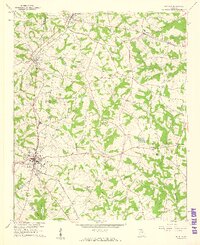 1959 Royston1961 Print · USGSNortheast Georgia in the late fifties is captured here at the meeting point of three counties during a time of steady rural growth. Researchers can trace family roots through numerous local landmarks, from Rose Hill Cem and Redwine Ch to the crossroads at Goldmine.2 unique versions available
 - 1979 Map of Commerce, 1980 Print
 1979 Commerce1980 Print · USGSThe Georgia and South Carolina Piedmont reached a period of significant regional growth in the late seventies. Genealogists and historians can trace family roots through locations like Blackberry Church, Old Pioneer Cem, and the Gillsville Sch.2 unique versions available
 - 1985 Map of Lavonia, 1986 Print
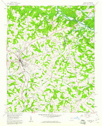
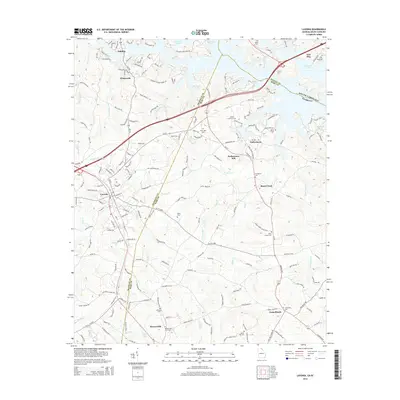
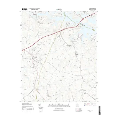
 1985 Lavonia1986 Print · USGSLavonia and the Georgia-South Carolina border are captured here in the mid-1980s as the rail-line economy met the rising waters of the Tugaloo. Researchers can trace family history through sites like Parkertown Mill, Pleasant Grove Cem, and Bowersville.
 - 2011 Map of Royston, 2011 Print
 2011 Royston2011 Print · USGSCovers Bowersville, including Royston, Eagle Grove, and other nearby areas
 - 2011 Map of Lavonia, 2011 Print
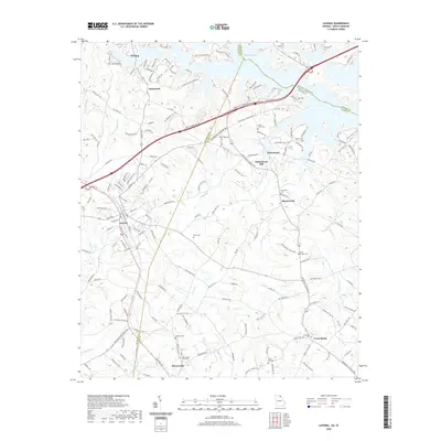
 2011 Lavonia2011 Print · USGSCovers Bowersville, including Lavonia, Shoal Creek, and other nearby areas
 - 2014 Map of Royston, 2014 Print
 2014 Royston2014 Print · USGSCovers Bowersville, including Royston, Eagle Grove, and other nearby areas
 - 2014 Map of Lavonia, 2014 Print
 2014 Lavonia2014 Print · USGSCovers Bowersville, including Lavonia, Shoal Creek, and other nearby areas
 - 2017 Map of Royston, 2017 Print
 2017 Royston2017 Print · USGSCovers Bowersville, including Royston, Eagle Grove, and other nearby areas
 - 2017 Map of Lavonia, 2017 Print
 2017 Lavonia2017 Print · USGSCovers Bowersville, including Lavonia, Shoal Creek, and other nearby areas
 - 2020 Map of Lavonia, 2020 Print
 2020 Lavonia2020 Print · USGSCovers Bowersville, including Lavonia, Shoal Creek, and other nearby areas
 - 2020 Map of Royston, 2020 Print
 2020 Royston2020 Print · USGSCovers Bowersville, including Royston, Eagle Grove, and other nearby areas
 - 2024 Map of Lavonia, 2024 Print
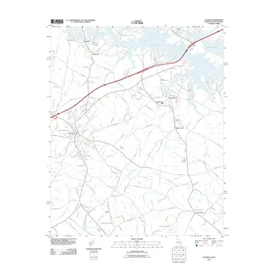
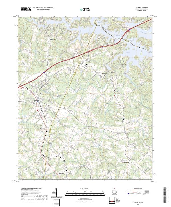 2024 Lavonia2024 Print · USGSGeorgia's Piedmont region near the South Carolina border is captured here in its modern rural character. Researchers can trace family history through the Bowersville City Cemetery or locate historical landmarks like Cleveland Ferry and the Parkertown Mill.
 - 2024 Map of Royston, 2024 Print
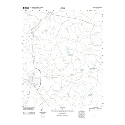
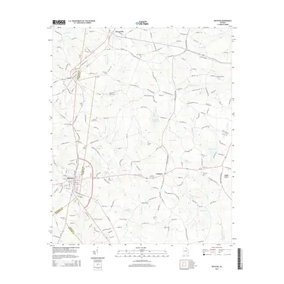
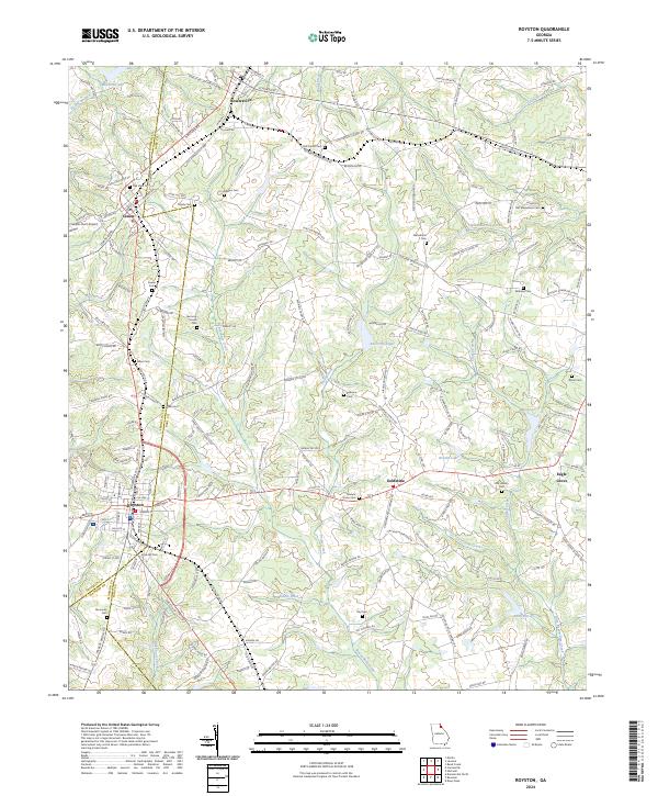 2024 Royston2024 Print · USGSThe tri-county junction of Franklin, Madison, and Hart counties comes alive in this detailed look at Royston and its neighboring rural townships. Genealogists and historians can trace family locations near Goldmine, Bowersville, and along the banks of Beaverdam Creek.
End of results
Showing maps 1-17 of 17
Top cities near Bowersville
- Toccoa historical maps
- Hartwell historical maps
- Royston historical maps
- Lavonia historical maps
- Franklin Springs historical maps
- Bowman historical maps
See more
Frequently asked questions
- What are the different types of historical maps available for Bowersville?
- What is the oldest map of Bowersville?
- Where can I purchase historical maps of Bowersville for my home or office?
- Where can I download high-res historical maps of Bowersville?
- Are there historical topographic maps available for Bowersville?
- Is there historical aerial imagery available for Bowersville?
- Where are historical maps of Bowersville sourced from?