Old Maps of Wadley, Georgia for Hiking & Exploration
Hike through history with 17 historic maps of Wadley. Explore old trails, ghost towns, and forgotten backroads — perfect for outdoor adventurers and local explorers.
- Rediscover forgotten places: Map out old mining camps, roads, and footpaths that no longer exist on modern maps.
- Layer with modern tools: Combine with LiDAR or satellite views to plan hikes through historical terrain.
- Made for exploration: Popular among hikers, overlanders, and local history lovers.
Use these maps to find adventure and explore the hidden past of Wadley.
Wadley, GA maps
(17)- 1957 Map of Macon
 1957 Macon1957 Print · USGSMid-century Georgia comes into focus as the river-and-rail economy shifts toward a new era of aviation and highway travel. Trace family roots and vanished landmarks across the Ocmulgee River valley from Macon to the onion fields of Vidalia.
 - 1958 Map of Macon
 1958 Macon1958 Print · USGSMiddle Georgia during the late fifties shows the post-war expansion of Warner Robins alongside the deep-rooted rail hubs of the Central of Georgia line. Researchers can trace the river-bound boundaries of numerous counties and find local landmarks like Veterans Memorial Hospital and Robins AFB.
 - 1964 Map of Macon
 1964 Macon1964 Print · USGSCentral Georgia in the mid-sixties is defined by its major river valleys and a booming military presence. Genealogists and historians can trace the growth of Warner Robins near Robins AFB or locate smaller rural junctions like Allentown and Jeffersonville along the historic Southern railroad lines.2 unique versions available
 - 1973 Map of Louisville South, 1976 Print
 1973 Louisville South1976 Print · USGSJefferson County thrived as a rail and river hub in the early seventies, with the Central of Georgia linking small towns. Genealogists can locate family landmarks like Ebenezer Cemetery, Old Bethel Church, and Moxley.2 unique versions available
 - 1973 Map of Wadley, 1976 Print
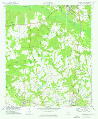
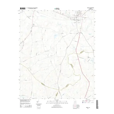
 1973 Wadley1976 Print · USGSJefferson and Johnson counties in the mid-1970s show a landscape of timbered swamp and rural rail towns. Researchers can trace the Central of Georgia railroad through Wadley or locate local landmarks like Blounts Chapel Ch and the Old Railroad Grade.2 unique versions available
 - 1981 Map of Dublin
 1981 Dublin1981 Print · USGSEast Georgia in the early eighties shows a landscape defined by its river basins and a persistent rail network. Genealogists and historians can trace family roots through historic town centers like Sandersville, Swainsboro, and Louisville or follow the Old Railroad Grade.
 - 1988 Map of Macon, 1989 Print
 1988 Macon1989 Print · USGSCentral Georgia is captured during the late eighties, showing the expansive river systems and growing urban hubs of the regional interior. Genealogists and historians can trace the paths of the Central of Georgia Railroad and locate communities like Warner Robbins, Dublin, and Sandersville.
 - 2011 Map of Wadley, 2011 Print
 2011 Wadley2011 Print · USGSCovers Wadley, including Bartow, Emanuel County, and other nearby areas
 - 2011 Map of Louisville South, 2011 Print
 2011 Louisville South2011 Print · USGSCovers Wadley, including Louisville, Bartow, and other nearby areas
 - 2014 Map of Louisville South, 2014 Print
 2014 Louisville South2014 Print · USGSCovers Wadley, including Louisville, Bartow, and other nearby areas
 - 2014 Map of Wadley, 2014 Print
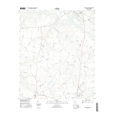
 2014 Wadley2014 Print · USGSCovers Wadley, including Bartow, Emanuel County, and other nearby areas
 - 2017 Map of Louisville South, 2017 Print
 2017 Louisville South2017 Print · USGSCovers Wadley, including Louisville, Bartow, and other nearby areas
 - 2017 Map of Wadley, 2017 Print
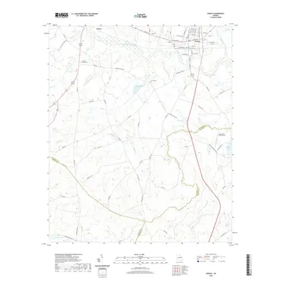
 2017 Wadley2017 Print · USGSCovers Wadley, including Bartow, Emanuel County, and other nearby areas
 - 2020 Map of Louisville South, 2020 Print
 2020 Louisville South2020 Print · USGSCovers Wadley, including Louisville, Bartow, and other nearby areas
 - 2020 Map of Wadley, 2020 Print
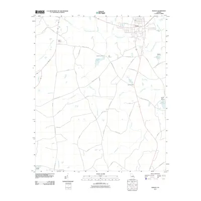
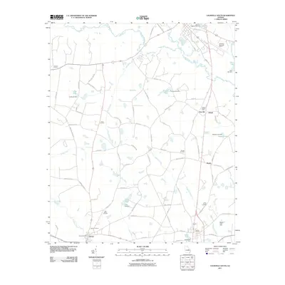
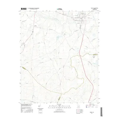
 2020 Wadley2020 Print · USGSCovers Wadley, including Bartow, Emanuel County, and other nearby areas
 - 2024 Map of Wadley, 2024 Print
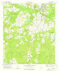
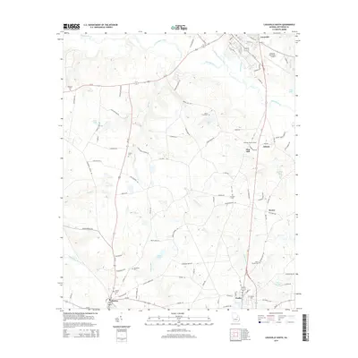
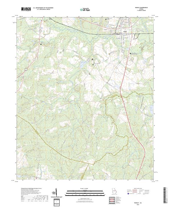 2024 Wadley2024 Print · USGSThe intersection of Jefferson, Johnson, and Emanuel counties comes into focus in this recent survey. Genealogists can trace family connections at Blounts Chapel Cem, Live Oak Cem, and Pineola Church of God Cem.
 - 2024 Map of Louisville South, 2024 Print
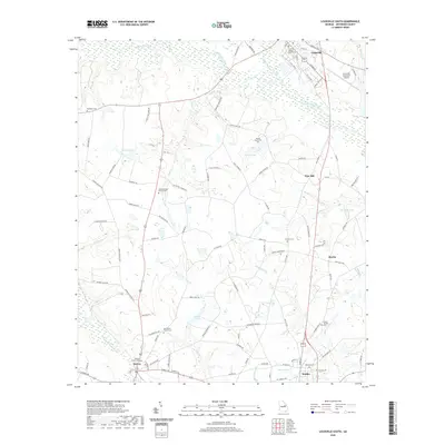
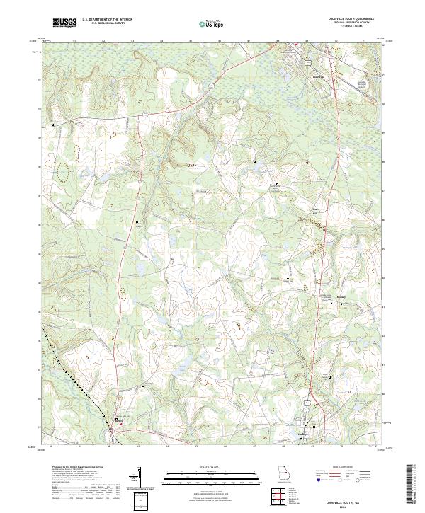 2024 Louisville South2024 Print · USGSJefferson County, Georgia, is documented here in the early twenty-first century, centered on the historic seat of Louisville. Family historians can locate numerous rural burial grounds and meeting houses, including Parkers Chapel Cem and Pierce Grove Baptist Church.
End of results
Showing maps 1-17 of 17
Top cities near Wadley
- Louisville historical maps
- Davisboro historical maps
- Midville historical maps
- Bartow historical maps
- Kite historical maps
- Summertown historical maps
See more
Frequently asked questions
- What are the different types of historical maps available for Wadley?
- What is the oldest map of Wadley?
- Where can I purchase historical maps of Wadley for my home or office?
- Where can I download high-res historical maps of Wadley?
- Are there historical topographic maps available for Wadley?
- Is there historical aerial imagery available for Wadley?
- Where are historical maps of Wadley sourced from?