Old Maps of Rentz, Georgia for Academic Research
Study the evolution of Rentz with 19 high-resolution historic maps. Whether you're teaching, researching, or modeling changes in land use, these maps provide essential visual documentation of urban, environmental, and geographic change.
- Analyze long-term change: Track patterns in development, transportation, and natural features.
- Ideal for environmental or urban studies: Support academic projects with primary historical map data.
- Use in the classroom or lab: Educators and researchers rely on these maps to bring historical context to life.
These maps are a powerful tool for teaching, research, and visualizing how Rentz has changed over the decades.
Rentz, GA maps
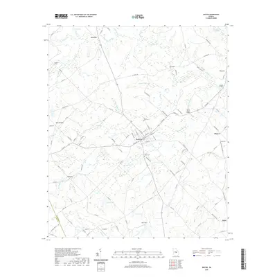
(19)- 1957 Map of Macon
 1957 Macon1957 Print · USGSMid-century Georgia comes into focus as the river-and-rail economy shifts toward a new era of aviation and highway travel. Trace family roots and vanished landmarks across the Ocmulgee River valley from Macon to the onion fields of Vidalia.
 - 1958 Map of Macon
 1958 Macon1958 Print · USGSMiddle Georgia during the late fifties shows the post-war expansion of Warner Robins alongside the deep-rooted rail hubs of the Central of Georgia line. Researchers can trace the river-bound boundaries of numerous counties and find local landmarks like Veterans Memorial Hospital and Robins AFB.
 - 1964 Map of Macon
 1964 Macon1964 Print · USGSCentral Georgia in the mid-sixties is defined by its major river valleys and a booming military presence. Genealogists and historians can trace the growth of Warner Robins near Robins AFB or locate smaller rural junctions like Allentown and Jeffersonville along the historic Southern railroad lines.2 unique versions available
 - 1974 Map of Rentz, 1976 Print
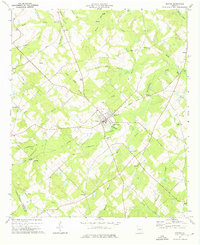
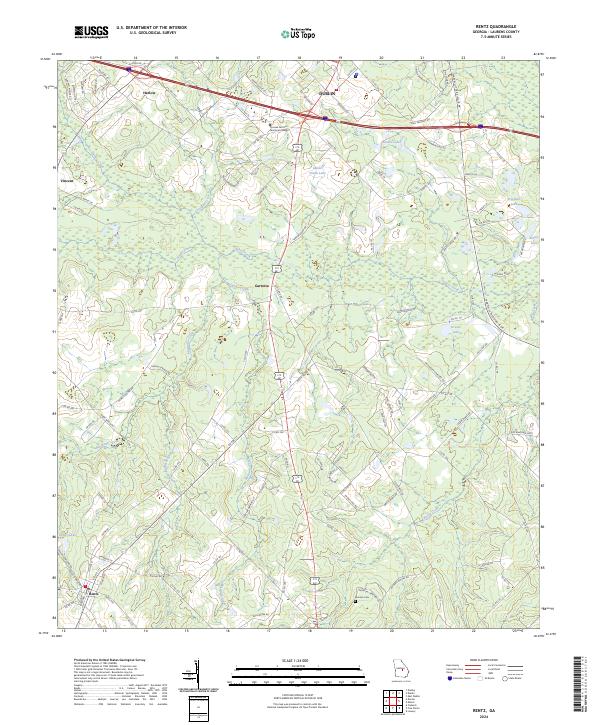
 1974 Rentz1976 Print · USGSSouthern Laurens County during the mid-seventies reveals a rural landscape defined by family-named cemeteries and a dense network of country churches. Genealogists can locate specific landmarks like Pearson Cem, Fleming Chapel, and the settlement of Garretta.
 - 1974 Map of Dexter, 1976 Print
 1974 Dexter1976 Print · USGSIn the mid-1970s, this area of Laurens County centered on the active town of Dexter and its surrounding farmsteads. Genealogists can trace family landmarks and rural communities through labels like St Lukes Cem, Antioch Ch, and the Old Railroad Grade.
 - 1977 Map of Hawkinsville
 1977 Hawkinsville1977 Print · USGSSouth Georgia’s agricultural and rail heartland is meticulously documented during the late seventies. Researchers can trace family ties and transit routes through old depots and towns like Unadilla, Pineview, and Hawkinsville along the Ocmulgee River.
 - 1978 Map of Hawkinsville, 1979 Print
 1978 Hawkinsville1979 Print · USGSMiddle Georgia's agricultural and rail heartland is captured here in the late seventies, showing the vital connections between the Ocmulgee River and the rural plains. Genealogists and historians can trace family locations near Vienna, Hawkinsville, or along the tracks of the Southern railroad.
 - 1979 Map of Vidalia, 1980 Print
 1979 Vidalia1980 Print · USGSSoutheast Georgia in the late 1970s is a landscape of river-bend settlements and crossing rail lines. Researchers can trace family roots and land patterns through several towns like Vidalia, Soperton, and Mount Vernon, or locate regional landmarks like the State Prison.2 unique versions available
 - 1988 Map of Macon, 1989 Print
 1988 Macon1989 Print · USGSCentral Georgia is captured during the late eighties, showing the expansive river systems and growing urban hubs of the regional interior. Genealogists and historians can trace the paths of the Central of Georgia Railroad and locate communities like Warner Robbins, Dublin, and Sandersville.
 - 2011 Map of Rentz, 2011 Print
 2011 Rentz2011 Print · USGSCovers Rentz, including Dublin, Garretta, and other nearby areas
 - 2011 Map of Dexter, 2011 Print
 2011 Dexter2011 Print · USGSCovers Rentz, including Dexter, Five Points, and other nearby areas
 - 2014 Map of Dexter, 2014 Print
 2014 Dexter2014 Print · USGSCovers Rentz, including Dexter, Five Points, and other nearby areas
 - 2014 Map of Rentz, 2014 Print
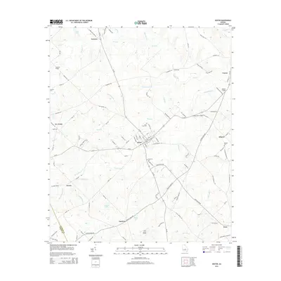
 2014 Rentz2014 Print · USGSCovers Rentz, including Dublin, Garretta, and other nearby areas
 - 2017 Map of Dexter, 2017 Print
 2017 Dexter2017 Print · USGSCovers Rentz, including Dexter, Five Points, and other nearby areas
 - 2017 Map of Rentz, 2017 Print
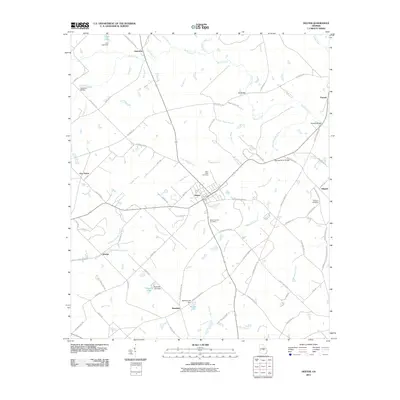
 2017 Rentz2017 Print · USGSCovers Rentz, including Dublin, Garretta, and other nearby areas
 - 2020 Map of Rentz, 2020 Print
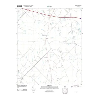
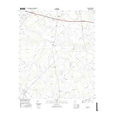
 2020 Rentz2020 Print · USGSCovers Rentz, including Dublin, Garretta, and other nearby areas
 - 2020 Map of Dexter, 2020 Print
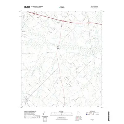
 2020 Dexter2020 Print · USGSCovers Rentz, including Dexter, Five Points, and other nearby areas
 - 2024 Map of Dexter, 2024 Print
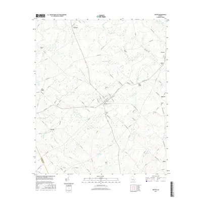
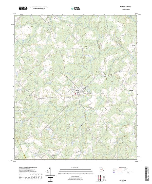 2024 Dexter2024 Print · USGSLaurens County settlement patterns are on full display in this modern survey of the Georgia interior. Genealogists can locate family landmarks like Saint Lukes Cemetery and Mount Carmel Cemetery or trace the rural reach of Kewanee and Five Points.
 - 2024 Map of Rentz, 2024 Print
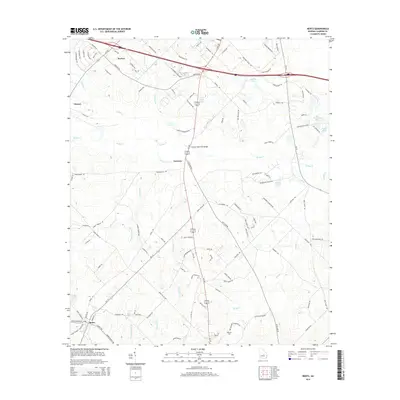
 2024 Rentz2024 Print · USGSLaurens County settlement patterns and rural life are captured here in the early twenty-first century. Genealogists can trace family landmarks like the Mclendon Cemetery and Pearson Cem, or locate the technical college near Harlow.
End of results
Showing maps 1-19 of 19
Top cities near Rentz
- Dublin historical maps
- Eastman historical maps
- East Dublin historical maps
- Chester historical maps
- Dexter historical maps
- Dudley historical maps
See more
Frequently asked questions
- What are the different types of historical maps available for Rentz?
- What is the oldest map of Rentz?
- Where can I purchase historical maps of Rentz for my home or office?
- Where can I download high-res historical maps of Rentz?
- Are there historical topographic maps available for Rentz?
- Is there historical aerial imagery available for Rentz?
- Where are historical maps of Rentz sourced from?