Old Maps of Ideal, Georgia for Hiking & Exploration
Hike through history with 16 historic maps of Ideal. Explore old trails, ghost towns, and forgotten backroads — perfect for outdoor adventurers and local explorers.
- Rediscover forgotten places: Map out old mining camps, roads, and footpaths that no longer exist on modern maps.
- Layer with modern tools: Combine with LiDAR or satellite views to plan hikes through historical terrain.
- Made for exploration: Popular among hikers, overlanders, and local history lovers.
Use these maps to find adventure and explore the hidden past of Ideal.
Ideal, GA maps
(16)- 1955 Map of Phenix City, 1964 Print
 1955 Phenix City1964 Print · USGSPost-war Alabama and Georgia meet along the Chattahoochee River as industry and military installations expand. Trace the rail lines of the Central of Georgia through towns like Opelika, Tuskegee, and Alexander City.3 unique versions available
 - 1957 Map of Phenix City
 1957 Phenix City1957 Print · USGSThe Alabama-Georgia borderlands are captured here in the mid-fifties, centered on the bustling river crossing at Phenix City and Columbus. Researchers can trace the mid-century footprint of the Fort Benning Military Reservation or locate smaller textile and railroad towns like Langdale and Camp Hill.
 - 1958 Map of Phenix City
 1958 Phenix City1958 Print · USGSThe Alabama-Georgia borderlands thrive during the late fifties, anchored by the river-driven industry of Columbus and Phenix City. Researchers can trace the mid-century footprints of Fort Benning, Auburn, and the textile towns of Fairfax and Lanett.
 - 1971 Map of Ideal South, 1973 Print
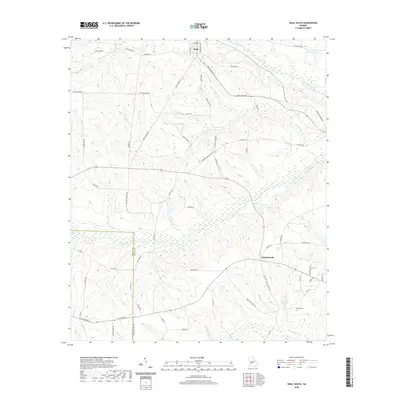
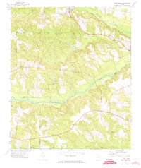 1971 Ideal South1973 Print · USGSCentral Georgia in the early 1970s is characterized here by its rural settlement patterns and numerous community churches. Genealogists and historians can trace the legacy of family sites like English Cem and local landmarks such as Lula Chapel or the English Millpond.
 - 1971 Map of Ideal North, 1974 Print
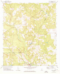 1971 Ideal North1974 Print · USGSThe rural borderlands of Taylor and Macon counties come alive in the early seventies, centered on the community of Ideal. Genealogists and historians can trace local landmarks like Bethlehem Ch, Hopewell Ch, and the rail stops of the Seaboard Coast Line.
 - 1981 Map of Americus, 1982 Print
 1981 Americus1982 Print · USGSWest Georgia and East Alabama appear here during the early 1980s, showcasing the transition from military reservation to agricultural heartland. Researchers can trace the Central of Georgia rail lines through towns like Plains, Ellaville, and the historic site of Andersonville.
 - 2011 Map of Ideal North, 2011 Print
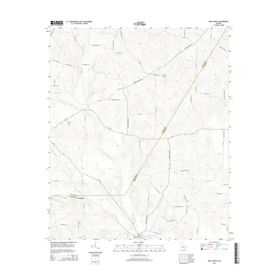
 2011 Ideal North2011 Print · USGSCovers Ideal, including Southland, Macon County, and other nearby areas
 - 2011 Map of Ideal South, 2011 Print
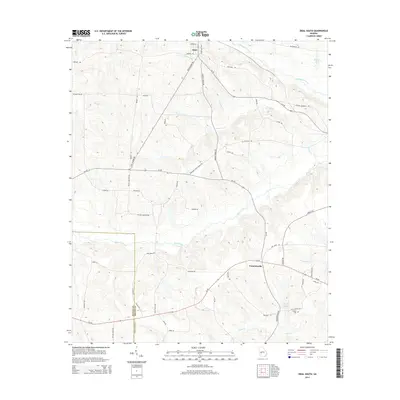
 2011 Ideal South2011 Print · USGSCovers Ideal, including Fountainville, Macon County, and other nearby areas
 - 2014 Map of Ideal North, 2014 Print
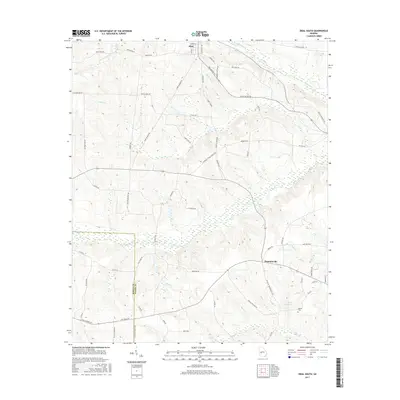
 2014 Ideal North2014 Print · USGSCovers Ideal, including Southland, Macon County, and other nearby areas
 - 2014 Map of Ideal South, 2014 Print
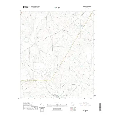
 2014 Ideal South2014 Print · USGSCovers Ideal, including Fountainville, Macon County, and other nearby areas
 - 2017 Map of Ideal North, 2017 Print
 2017 Ideal North2017 Print · USGSCovers Ideal, including Southland, Macon County, and other nearby areas
 - 2017 Map of Ideal South, 2017 Print
 2017 Ideal South2017 Print · USGSCovers Ideal, including Fountainville, Macon County, and other nearby areas
 - 2020 Map of Ideal North, 2020 Print
 2020 Ideal North2020 Print · USGSCovers Ideal, including Southland, Macon County, and other nearby areas
 - 2020 Map of Ideal South, 2020 Print
 2020 Ideal South2020 Print · USGSCovers Ideal, including Fountainville, Macon County, and other nearby areas
 - 2024 Map of Ideal South, 2024 Print
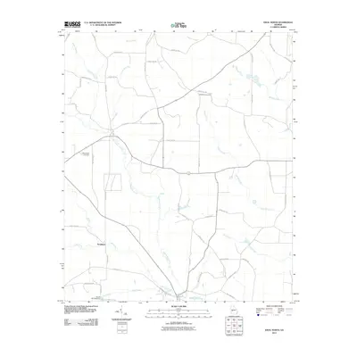
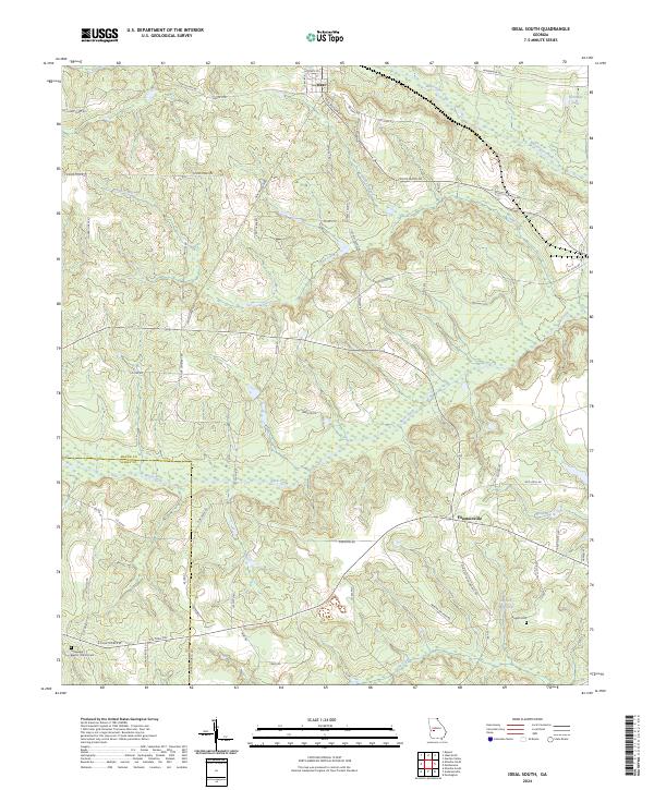 2024 Ideal South2024 Print · USGSMacon and Schley Counties are captured here in the 2020s, revealing a landscape defined by meandering creeks and rural family holdings. Genealogists can trace local roots at Fellowship Baptist Church Cem or follow the waters of English Millpond and Buck Creek.
 - 2024 Map of Ideal North, 2024 Print
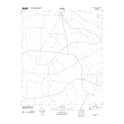
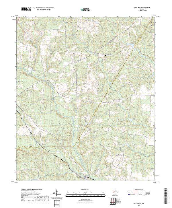 2024 Ideal North2024 Print · USGSTaylor and Macon counties are shown in this modern survey, where the settlement of Ideal anchors a landscape of creeks and family homesteads. Researchers can trace land tracts via Tommy Purvis Jr Rd or locate ancestors at Mount Sinai Cem.
End of results
Showing maps 1-16 of 16
Top cities near Ideal
- Montezuma historical maps
- Ellaville historical maps
- Butler historical maps
- Oglethorpe historical maps
- Reynolds historical maps
- Andersonville historical maps
Frequently asked questions
- What are the different types of historical maps available for Ideal?
- What is the oldest map of Ideal?
- Where can I purchase historical maps of Ideal for my home or office?
- Where can I download high-res historical maps of Ideal?
- Are there historical topographic maps available for Ideal?
- Is there historical aerial imagery available for Ideal?
- Where are historical maps of Ideal sourced from?